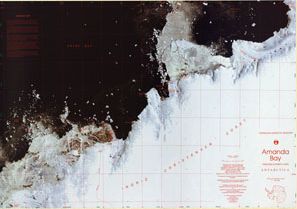
Map 54: Amanda Bay, Princess Elizabeth Land
Map details
| Map Number | 54 |
| Title | Amanda Bay, Princess Elizabeth Land |
| Edition | 1 |
| Scale | 1 : 100 000 |
| Publication date | December 1991 |
| Publisher | - |
| Spatial coverage |
( 75.4417° -68.9467°)
,
( 78.0000° -68.9467°)
,
( 78.0000° -69.6000°)
( 75.4417° -69.6000°) |
| Projection | Transverse Mercator |
| Physical size | 69 x 99.5 cm |
| Reference | Cat.No:L26 in 'ANARE Catalogue of Maps and Hydrographic Charts 1997' |
| Keywords | Amanda , Bay , Princess , Elizabeth , Land , Ingrid , Christensen , Coast , Prydz , Broknes , Stornes , Bolingen , Larsemann , Ranvik , Svenner , Law , Progress , Zhong , Shan , Satellite Imagery |
Downloads
This is a hard copy map that has been scanned. See information about obtaining copies of hard copy maps.
Map Lists
This map belongs to the following lists. Use the link on the list to see all maps belonging to that list
Additional Information
| Horizontal datum | WGS84 |
| Magnetic variation | 77 degrees west in 1992 |
| Nomenclature | Australian Antarctic Gazetteer |
Preview