Name details
Dewart Island
Dewart Island (The name as it would appear in a gazetteer)
Dewart Island (The name as it would appear on a map)
If this information is incorrect, please e-mail mapping@aad.gov.au
Feature type: Island (5)
Origin
This name originates from United States of America. It is part of the United States Gazetteer and the SCAR Composite Gazetteer of Antarctica.
Names that other countries have for this feature:
- Dewart Island (Australia)
- Dewart Island (Russia)
Narrative
The central island in the Frazier Islands, in Vincennes Bay. The island was photographed from the air by USN Operation HighJump (1946-47) and its position fixed by ANARE (1956). Named by C.R. Eklund for Gilbert Dewart, seismologist at Wilkes Station, 1957.
Named For
Location
Images
©David Smith 2005
- Catalogue id
- IA16631
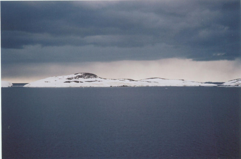
- Caption
- Dewart Island from the south-west
- Photographer
- Smith, David
Map
Source
Comments
NoneApproval status
Display Scales
For example, selecting 'Aus_display_scale_20M' would only return names that would appear on a 1:20 million scale map.
| Aus_display_scale_20M: | No | Aus_display_scale_10M: | No | ||
| Aus_display_scale_5M: | No | Aus_display_scale_2M: | No | ||
| Aus_display_scale_1M: | No | Aus_display_scale_500k: | No | ||
| Aus_display_scale_250k: | No | Aus_display_scale_100k: | No | ||
| Aus_display_scale_50k: | No | Aus_display_scale_25k: | No | ||
| Aus_display_scale_10k: | No | Aus_display_scale_5k: | No | ||
| Aus_display_scale_1k: | No |
Related information
Biodiversity
View
fauna,
flora or
both
within 1.0 degree of this location
Place names
View
American or
international
place names within 1.0 degree of this location.