Name details
Highjump Archipelago
Highjump Archipelago (The name as it would appear in a gazetteer)
Highjump Archipelago (The name as it would appear on a map)
If this information is incorrect, please e-mail mapping@aad.gov.au
Feature type: Archipelago
Origin
This name originates from Australia. It is part of the Australian Antarctic Gazetteer and the SCAR Composite Gazetteer of Antarctica.
Names that other countries have for this feature:
- Highjump Archipelago (Russia)
- Highjump Archipelago (United States of America)
Narrative
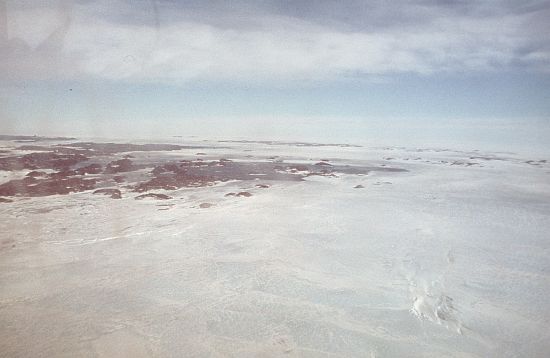
A group of rocky islands and rocks about 95 km long and 9 to 28 km wide, extending in a north-east direction off the Bunger Hills, Knox Coast, Wilkes Lane.
Named For
Delineated from air photographs taken by USN Operation Highjump (1946-47) and named by USACAN after code word Highjump by which USN Task Force 68 (1946-47) was known.
Location
Images
©AAD, Copyright Commonwealth of Australia 1984
- Catalogue id
- 1803B2
- Photographer
- Ledingham, Roderick B (Rod)
Map
Source
Comments
NoneApproval status
Display Scales
For example, selecting 'Aus_display_scale_20M' would only return names that would appear on a 1:20 million scale map.
| Aus_display_scale_20M: | No | Aus_display_scale_10M: | No | ||
| Aus_display_scale_5M: | No | Aus_display_scale_2M: | Yes | ||
| Aus_display_scale_1M: | Yes | Aus_display_scale_500k: | Yes | ||
| Aus_display_scale_250k: | Yes | Aus_display_scale_100k: | Yes | ||
| Aus_display_scale_50k: | Yes | Aus_display_scale_25k: | No | ||
| Aus_display_scale_10k: | No | Aus_display_scale_5k: | No | ||
| Aus_display_scale_1k: | No |
Related information
Biodiversity
View
fauna,
flora or
both
within 1.0 degree of this location
Place names
View
Australian or
international
place names within 1.0 degree of this location.