Motherway Island
Motherway Island (The name as it would appear in a gazetteer)
Motherway Island (The name as it would appear on a map)
If this information is incorrect, please e-mail mapping@aad.gov.au
Place ID: 9902
Name ID: 129146
Feature type:
Island
(5)
Origin
This name originates from United States of America.
It is part of the
United States Gazetteer and the SCAR Composite Gazetteer of Antarctica.
Names that other countries have for this feature:
Narrative
A small rocky island about 0.2 mi N of Peterson Island, near the S end of the Windmill Islands. First mapped from aerial photographs taken by USN Operation HighJump in February 1947. Named by the US-ACAN for Paul T. Motherway, member of one of the two USN Operation Windmill photographic units which obtained aerial and ground photographic coverage of this area in January 1948.
Named For
Location
Latitude:
66° 26' 00.0" S
-66.43333°
Unknown precision
Longitude:
110° 31' 00.0" E
110.51667°
Unknown precision
Altitude:
Not recorded
Unknown precision
Images
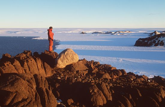
©AAD, Copyright Commonwealth of Australia 1998
- Catalogue id
- 3444D1
- Photographer
- Dixon, Grant
Map
Source
Source Institution:
Unknown
Source Publisher:
Unknown
Remote sensing:
Not Applicable
Comments
None
Approval status
Date approved:
1-Jan-1963
Related information