Mitchell Peninsula
Mitchell Peninsula (The name as it would appear in a gazetteer)
Mitchell Peninsula (The name as it would appear on a map)
If this information is incorrect, please e-mail mapping@aad.gov.au
Place ID: 9675
Name ID: 2084
Feature type:
Peninsula
Origin
This name originates from Australia.
It is part of the
Australian Antarctic Gazetteer and the SCAR Composite Gazetteer of Antarctica.
Names that other countries have for this feature:
Narrative
A rocky outcrop connected to the continental ice by ice and snow on the Budd Coast. Plotted from air photographs taken by USN Operation Highjump (1946-47). USACAN called this feature Mitchell Island after Captain R.A. Mitchell, USN, captain of the USS Cacapon which participated in Operation Highjump.
Named For
Location
Latitude:
66° 19' 41.5" S
-66.32819°
Accurate to 30m
Longitude:
110° 32' 52.1" E
110.54781°
Accurate to 30m
Altitude:
100 m
Accurate to 5m
Images
©AAD, Copyright Commonwealth of Australia 1998
- Catalogue id
- 3443A1
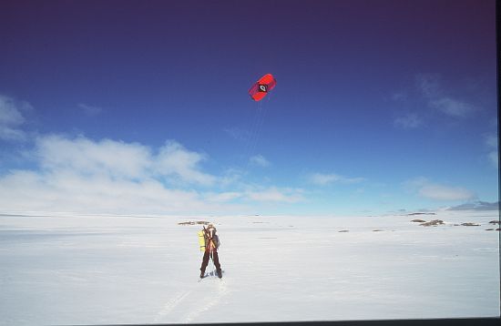
- Caption
- Para skiing on fast ice
- Photographer
- Dixon, Grant
Map
Source
Location Method:
Topographic data
Source Name:
Windmill Islands 1:50000 GIS Dataset
Source Identifier:
Wind50K
Source Institution:
Australian Antarctic Division
Source Publisher:
Australian Antarctic Division
Remote sensing:
Not Applicable
Comments
None
Approval status
Date approved:
4-Jul-1961
Related information