Shackleton Ice Shelf
Shackleton Ice Shelf (The name as it would appear in a gazetteer)
Shackleton Ice Shelf (The name as it would appear on a map)
If this information is incorrect, please e-mail mapping@aad.gov.au
Place ID: 13066
Name ID: 731
Feature type:
Ice shelf
Origin
This name originates from Australia.
It is part of the
Australian Antarctic Gazetteer and the SCAR Composite Gazetteer of Antarctica.
Names that other countries have for this feature:
Narrative
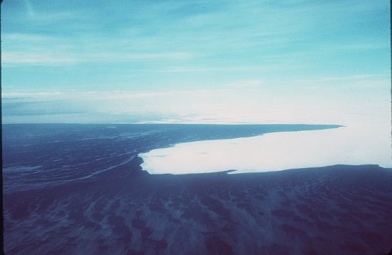
An extensive ice shelf off the coast of Queen Mary Land extending up to 170 km northwards and stretching along the coast from Junction Corner (94 degrees 45' E) to at least the Denman Glacier (99 degrees E). Recent Soviet charts show the shelf extending as far east as 105 degrees E., but there are some doubts as to whether this is one continuous ice shelf or two shelves separated by the Denman and Scott Glaciers. The eastern part of the ice shelf was sighted by the US Exploring Expedition under Wilkes in February, 1840. The western portion was explored by the Western Base Party of AAE (1911-14).
Named For
Named by Sir Douglas Mawson after Sir Ernest Shackleton, British Antarctic explorer.
Location
Latitude:
65° 59' 46.0" S
-65.99611°
Unknown precision
Longitude:
100° 30' 14.0" E
100.50389°
Unknown precision
Altitude:
Not recorded
Unknown precision
Images
©AAD, Copyright Commonwealth of Australia 1977
- Catalogue id
- 1801C3
- Photographer
- Barker, Roger J
Map
Source
Source Institution:
Unknown
Source Publisher:
Unknown
Remote sensing:
Not Applicable
Comments
None
Approval status
Related information