Tryne Bay
Tryne Bay (The name as it would appear in a gazetteer)
Tryne Bay (The name as it would appear on a map)
If this information is incorrect, please e-mail mapping@aad.gov.au
Place ID: 15010
Name ID: 91
Feature type:
Bay
Origin
This name originates from Australia.
It is part of the
Australian Antarctic Gazetteer and the SCAR Composite Gazetteer of Antarctica.
Names that other countries have for this feature:
Narrative
An open bay at the northern end of the Vestfold Hills. Plotted from air photographs taken by the Lars Christensen expedition (1936-37) and called Trynevika (The Snout Bay). A landing was made on the mainland on 9 January, 1939, from the Wyatt Earp by Sir Hubert Wilkins, who accompanied Lincoln Ellsworth on his expedition.
Named For
Named after E.A. Trigwell, radio supervisor at Davis, 1958.
Location
Latitude:
68° 24' 00.0" S
-68.40000°
Accurate to 30m
Longitude:
78° 28' 00.1" E
78.46669°
Accurate to 30m
Altitude:
0 m
Unknown precision
Images
©Belinda Reynolds 2009
- Catalogue id
- IA22024
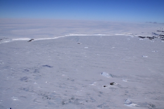
- Caption
- Tryne Bay, Vestfold Hills. Taken from helicopter at height of 2000 feet. Looking Southeast.
- Photographer
- Reynolds, Belinda
Map
Source
Location Method:
Topographic data
Source Name:
Vestfold Hills Topographic GIS Dataset
Source Identifier:
vest_hills_gis
Source Institution:
Australian Antarctic Division
Source Publisher:
Australian Antarctic Division
Remote sensing:
Not Applicable
Comments
Metadata for coordinates and origin of topographic data.
Approval status
Date approved:
4-Sep-1956
Related information