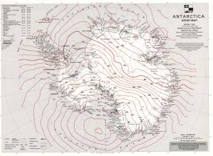
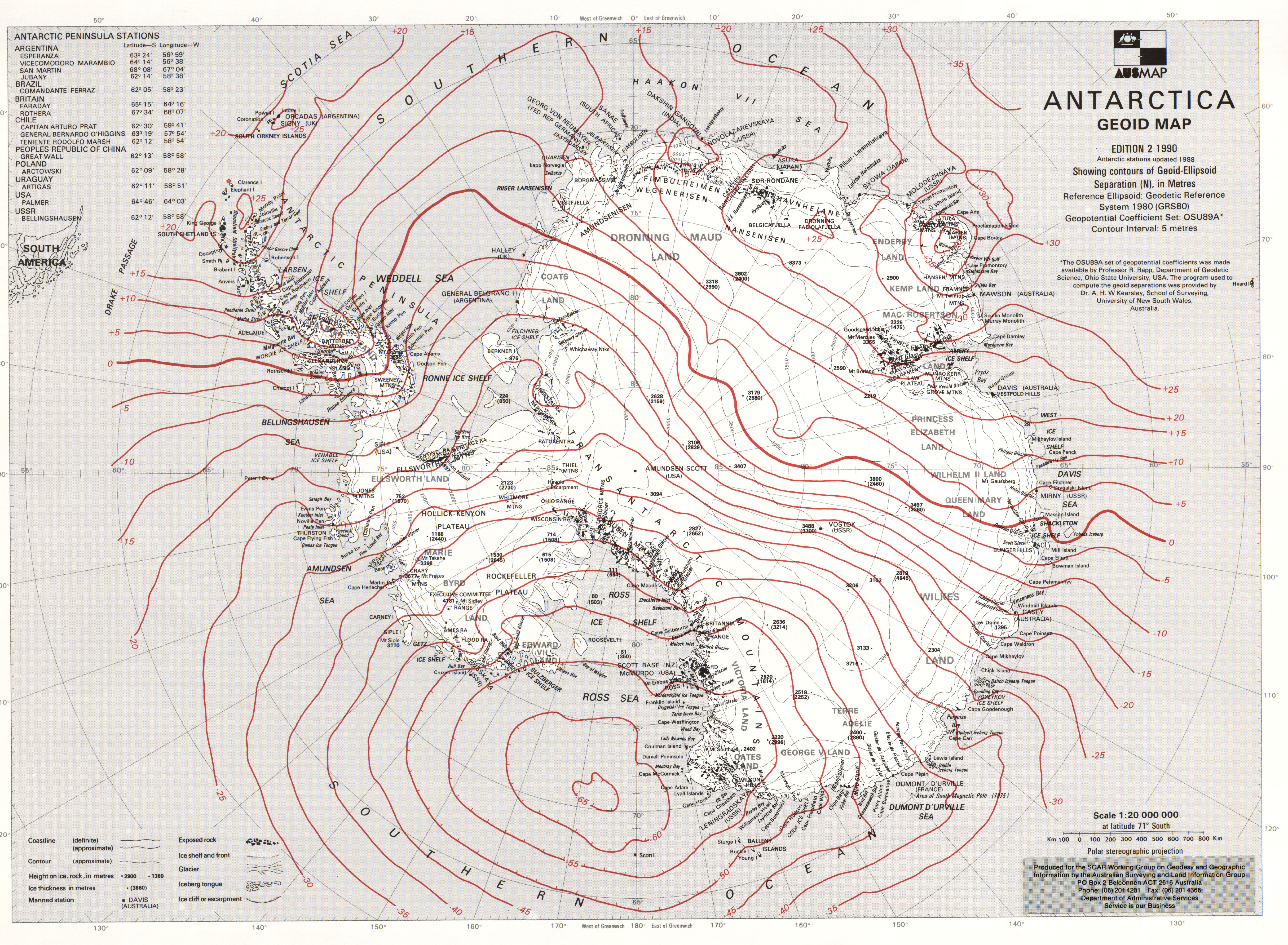
Map 160: Antarctica-Geoid Map
Map details
| Map Number | 160 |
| Title | Antarctica-Geoid Map |
| Edition | 2 |
| Scale | 1 : 20 000 000 |
| Publication date | 1990 |
| Publisher |
Australian Surveying and Land Information Group, Department of Administrative Services, Canberra (Australia)
|
| Spatial coverage |
(-180.0000° -55.0000°)
,
(180.0000° -55.0000°)
,
(180.0000° -90.0000°)
(-180.0000° -90.0000°) |
| Projection | Polar Stereographic |
| Physical size | 30.8 x 42 cm |
| Notes | Geoid Map. |
| Reference | S27 |
| Keywords | Geoid , Topographic |
Downloads
This is a hard copy map that has been scanned. See information about obtaining copies of hard copy maps.
Map Lists
No maps lists available.
Additional Information
Preview