Windmill Islands / Casey - extended list
View All Map ListsAn extended list of maps of the Windmill Islands including maps of Casey.
Showing 21 to 39 of 39 maps. On page 2 of 2, go to the Previous Page
Clark Peninsula, Site of Special Scientific Interest no.17 View Map Details
Map ID - 4
Published On - December-1996 Scale - 1 : 10 000 Physical Size- 49 x 84.5 cm 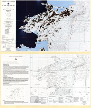
|
Old Casey and Thala valley : Orthophoto map View Map Details
Map ID - 12887
Published On - August-2002 Scale - 1 : 1000 Physical Size- 64 x 80 cm 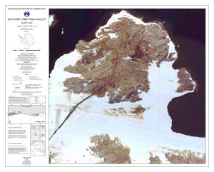
|
Site of Special Scientific Interest Number 16, Wilkes Land, Antarctica View Map Details
Map ID - 5
Published On - December-1996 Scale - 1 : 2000 Physical Size- 35 x 65.5 cm 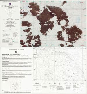
|
Traverse: Casey to Dome C 2023/24 View Map Details
Map ID - 15999
Published On - October-2023 Scale - 1 : 1 000 000 Physical Size- 118.9 x 84.1 cm A0 Vertical Unit - Feet 
|
Traverse: Casey to Dome C 2023/24 - BASE MAP View Map Details
Map ID - 16026
Published On - October-2023 Scale - 1 : 1 000 000 Physical Size- 118.9 x 84.1 cm A0 Vertical Unit - Feet 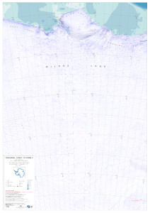
|
Wilkins Aerodrome Search Zones View Map Details
Map ID - 14260
Published On - October-2013 Scale - 1 : 30 000 Physical Size- 21 x 29.7 cm A4 Vertical Unit - Meters 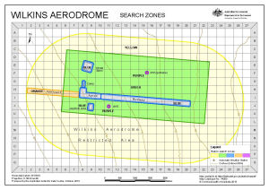
|
Windmill Islands - Casey to Wilkins Aerodrome (Digital Only) View Map Details
Map ID - 16013
Published On - September-2023 Scale - 1 : 50 000 Physical Size- 128 x 138 cm _thumb.jpg)
|
Windmill Islands / Wilkes Land View Map Details
Map ID - 5104
Published On - April-1997 Scale - 1 : 50 000 Physical Size- 98 x 69 cm 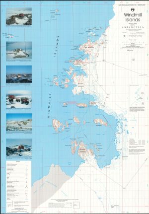
|
Windmill Islands : Map 1 of 5 View Map Details
Map ID - 16007
Published On - September-2023 Scale - 1 : 50 000 Physical Size- 29.7 x 42 cm A3 Vertical Unit - Meters 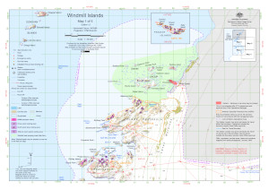
|
Windmill Islands : Map 2 of 5 View Map Details
Map ID - 16008
Published On - September-2023 Scale - 1 : 50 000 Physical Size- 29.7 x 42 cm A3 Vertical Unit - Meters 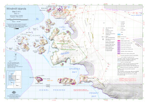
|
Windmill Islands : Map 3 of 5 View Map Details
Map ID - 16009
Published On - September-2023 Scale - 1 : 50 000 Physical Size- 29.7 x 42 cm A3 Vertical Unit - Meters 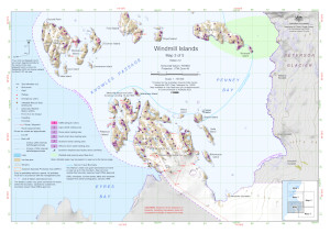
|
Windmill Islands : Map 4 of 5 View Map Details
Map ID - 16010
Published On - September-2023 Scale - 1 : 50 000 Physical Size- 29.7 x 42 cm A3 Vertical Unit - Meters 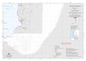
|
Windmill Islands : Map 5 of 5 View Map Details
Map ID - 16011
Published On - September-2023 Scale - 1 : 50 000 Physical Size- 29.7 x 42 cm A3 Vertical Unit - Meters 
|
Windmill Islands [Black and white] View Map Details
Map ID - 13140
Published On - May-2005 Scale - 1 : 760 000 Physical Size- 5.2 x 4.8 cm ![Windmill Islands [Black and white]](https://data.aad.gov.au/database/mapcat/windmill/windmill_Islands_bw_thumb.jpg)
|
Windmill Islands Bathymetry View Map Details
Map ID - 14565
Published On - April-2017 Scale - 1 : 15 000 Physical Size- 79 x 72 cm Vertical Unit - Meters 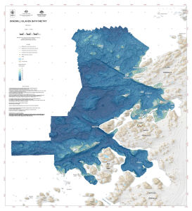
|
Windmill Islands topographic View Map Details
Map ID - 16012
Published On - September-2023 Scale - 1 : 50 000 Physical Size- 98 x 84.1 cm 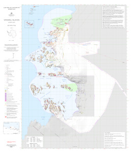
|
Windmill Islands with Antarctica inset [Black and white] View Map Details
Map ID - 13629
Published On - March-2009 Scale - 1 : 230 000 Physical Size- 21 x 15 cm ![Windmill Islands with Antarctica inset [Black and white]](/database/mapcat/windmill/13629_thumb.jpg)
|
Windmill Islands with Antarctica inset [Black and white] View Map Details
Map ID - 14018
Published On - February-2012 Scale - 1 : 393 385 Physical Size- 10.6 x 8 cm ![Windmill Islands with Antarctica inset [Black and white]](/database/mapcat/windmill/windmill_bw_14018_thumb.jpg)
|
Windmill Islands, Wilkes Land View Map Details
Map ID - 10
Published On - December-1995 Scale - 1 : 50 000 Physical Size- 98 x 69 cm 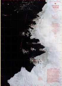
|
Showing 21 to 39 of 39 maps. On page 2 of 2, go to the Previous Page