Macquarie Island - extended list
View All Map ListsAn extended list of maps of Macquarie Island including maps of Macquarie Island Station.
Showing 21 to 40 of 42 maps. On page 2 of 3, go to the Previous Page or Next Page
Macquarie Island and Approaches View Map Details
Map ID - 13466
Published On - September-2006 Scale - 1 : 100 000 Physical Size- 110 x 73 cm 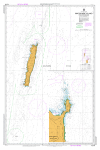
|
Macquarie Island Asbestos Presence in Buildings View Map Details
Map ID - 15938
Published On - September-2023 Scale - 1 : 2500 Physical Size- 21 x 29.7 cm A4 Vertical Unit - Meters 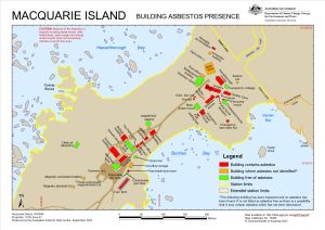
|
Macquarie Island Developmental Plan View Map Details
Map ID - 14498
Published On - 1965 Scale - 1 : 300 Physical Size- 78 x 174.7 cm 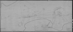
|
Macquarie Island Fire Hydrants (Superceded) View Map Details
Map ID - 13565
Published On - November-2008 Scale - 1 : 1700 Physical Size- 29.7 x 42 cm A3 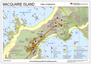
|
Macquarie Island in relation to Australia and Antarctica View Map Details
Map ID - 14536
Published On - September-2016 Scale - 1 : 37 000 000 Physical Size- 14.8 x 21 cm 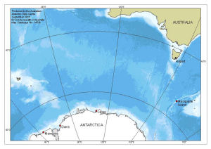
|
Macquarie Island Refuges View Map Details
Map ID - 13023
Published On - September-2003 Scale - 1 : 450 000 Physical Size- 8.5 x 5.3 cm 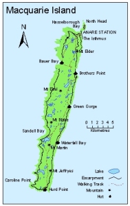
|
Macquarie Island Station Layout View Map Details
Map ID - 14559
Published On - 23-February-1970 Scale - 1 : c200 Physical Size- 91.4 x 106.3 cm 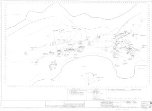
|
Macquarie Island vegetation View Map Details
Map ID - 13106
Published On - February-2004 Scale - 1 : 89 000 Physical Size- - 
|
Macquarie Island Vegetation, Structure & Drainage - Northern Sheet View Map Details
Map ID - 12916
Published On - May-2001 Scale - 1 : 25 000 Physical Size- 88.5 x 94.1 cm 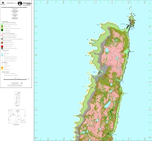
|
Macquarie Island Vegetation, Structure & Drainage - South View Map Details
Map ID - 12917
Published On - May-2001 Scale - 1 : 25 000 Physical Size- 77 x 82.5 cm 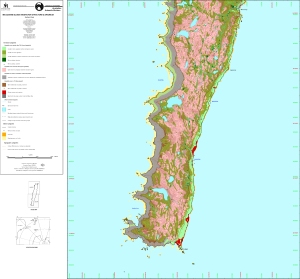
|
Macquarie Island with insets of "The Isthmus and Wireless Hill" and "Macquarie Island in relation to Australia and Antarctica" [Black and white] View Map Details
Map ID - 13529
Published On - October-2008 Scale - 1 : 333 000 Physical Size- 11.8 x 7.8 cm 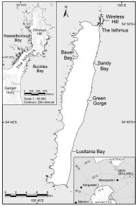
|
Macquarie Island, North
|
Macquarie Island, South
|
Macquarie Island, Tasmania View Map Details
Map ID - 12884
Published On - October-2002 Scale - 1 : 50 000 Physical Size- 100 x 73 cm 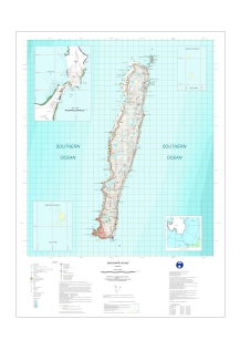
|
Macquarie Island: Buildings and Structures View Map Details
Map ID - 14676
Published On - July-2018 Scale - 1 : 2500 Physical Size- 21 x 29.7 cm A4 Vertical Unit - Meters 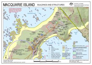
|
Macquarie Island: Map for Elephant Seal sightings View Map Details
Map ID - 13118
Published On - December-2004 Scale - 1 : 143 300 Physical Size- 29.7 x 21 cm A4 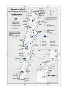
|
Macquarie Island: Station Limits View Map Details
Map ID - 15837
Published On - December-2022 Scale - 1 : 7800 Physical Size- 29.7 x 21 cm A4 Vertical Unit - Meters 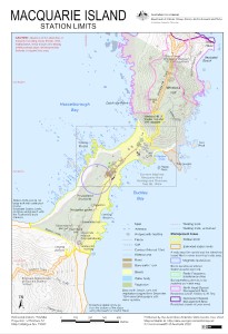
|
Macquarie Island: Station Search Zones View Map Details
Map ID - 14677
Published On - July-2018 Scale - 1 : 3000 Physical Size- 21 x 29.7 cm A4 Vertical Unit - Meters 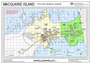
|
Macquarie Island
|
Macquarie Island
|
Showing 21 to 40 of 42 maps. On page 2 of 3, go to the Previous Page or Next Page