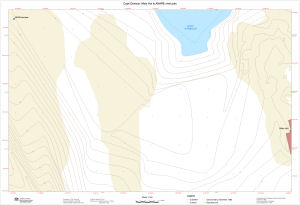
Antarctic Maps
Large scale maps covering scales below 1:100 000
-
that cover
| 30° 00' 00.0" S to 70° 00' 00.0" S |
| 55° 00' 00.0" E to 170° 00' 00.0" E |
For additional maps, see the Mapping for the Map Catalogue.
Use the link on the Map No or the preview if it exists to see full details.
| Map No | Map Title | Year | Scale | Preview |
|---|---|---|---|---|
| 2625 | A.B. Dobrowolskiego Antarctic Station | 1978 | 1 : 500 | |
| 5221 | Adelie Land / Archipelago Point Geologie | 1955 | 1 : 20 000 | |
| 5217 | Adelie Land / Cape Bienvenue | 1950 | 1 : 5000 | |
| 5222 | Adelie Land / Cape Jules | 1957 | 1 : 20 000 | |
| 5216 | Adelie Land / Port Geologie Archipelago | 1955 | 1 : 5000 | |
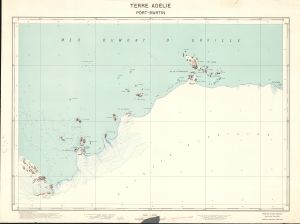
| 5223 | Adelie Land / Port Martin | 1956 | 1 : 20 000 |
 |
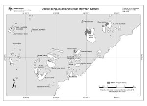
| 13043 | Adelie penguin colonies near Mawson Station | 2003 | 1 : 58 000 |
 |
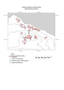
| 13042 | Adelie penguin subcolonies, Bechervaise Island | 2003 | 1 : 2000 |
 |
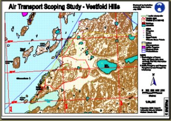
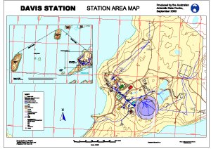
| 11347 | Air Transport Scoping Study - Davis | 1999 | 1 : 36 000 |
 |
| 5224 | Amsterdam Island | 1967 | 1 : 25 000 | |
| 5242 | Amsterdam Island | 1 : 70 000 | ||
| 14170 | ANARE station heritage area, Atlas Cove | 1995 | 1 : c1000 |
 |
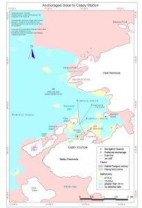
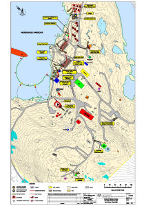
| 12829 | Anchorages close to Casey Station | 2001 | 1 : 30 000 |
 |
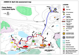
| 14319 | Annex B: Casey Station Spill Risk Assessment Map Land - Based Spills |
2002 | 1 : 2000 |
 |
| 14320 | Annex B: Casey Station Spill Risk Assessment Map Land - Based Spills |
2004 | 1 : 2000 |
 |
| 14321 | Annex B: Casey Station Spill Risk Assessment Map Land - Based Spills |
2008 | 1 : 2000 |
 |
| 14322 | Annex B: Casey Station Spill Risk Assessment Map Land and Marine-Based Spills |
2014 | 1 : 2000 |
 |
| 13702 | Annex B: Casey Station Spill Risk Assessment Map Land and Marine-Based Spills. |
2008 | 1 : 2000 |
 |
| 13703 | Annex B: Davis Station Spill Risk Assessment Map Land and Marine-Based Spills. |
2008 | 1 : 1000 |
 |
| 14330 | Annex B: Davis Station Spill Risk Assessment Map Land and Marine-Based Spills. |
2014 | 1 : 1000 |
 |
| 14328 | Annex B: Davis Station Spill Risk Assessment Map Land-Based Spills. |
2002 | 1 : 1000 |
 |
| 14329 | Annex B: Davis Station Spill Risk Assessment Map Land-Based Spills. |
2004 | 1 : 1000 |
 |
| 14471 | Annex B: Macquarie Island Spill Risk Assessment Map Land - Based Spills | 2002 | 1 : 1300 |
 |
| 14472 | Annex B: Macquarie Island Spill Risk Assessment Map Land - Based Spills | 2004 | 1 : 1300 |
 |
| 13705 | Annex B: Macquarie Island Spill Risk Assessment Map Land and Marine-Based Spills | 2008 | 1 : 1300 |
 |
| 14473 | Annex B: Macquarie Island Spill Risk Assessment Map Land and Marine-Based Spills |
2014 | 1 : 1300 |
 |
| 14452 | Annex B: Mawson Station Spill Risk Assessment Map Land - Based Spills |
2002 | 1 : 1000 |
 |
| 14453 | Annex B: Mawson Station Spill Risk Assessment Map Land - Based Spills |
2004 | 1 : 1000 |
 |
| 14454 | Annex B: Mawson Station Spill Risk Assessment Map Land and Marine-Based Spills |
2014 | 1 : 1000 |
 |
| 13704 | Annex B: Mawson Station Spill Risk Assessment Map Land and Marine-Based Spills |
2008 | 1 : 1000 |
 |
| 14318 | Annex B: Spill Risk Assessment Map Casey Station Land - Based Spills |
2001 | 1 : 2000 |
 |
| 14084 | Antarctic Great Wall Station of China | 2005 | 1 : 1000 | |
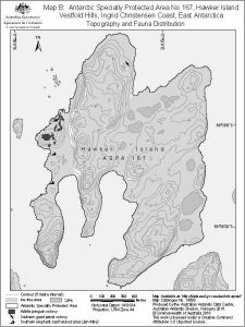
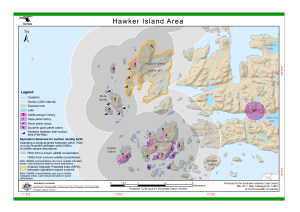
| 13948 | Antarctic Specially Protected Area No 167 Hawker Island, Vestfold Hills, Ingrid Christensen Coast, East Antarctica Map B: Topography and Fauna Distribution |
2011 | 1 : 15 000 |
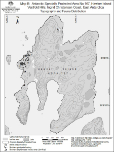 |
| 14500 | Antarctic Specially Protected Area No 167 Hawker Island, Vestfold Hills, Ingrid Christensen Coast, East Antarctica Map B: Topography and Fauna Distribution |
2016 | 1 : 15 000 |
 |
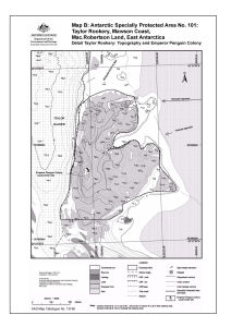
| 14338 | Antarctic Specially Protected Area No. 101 Taylor Rookery Map B: Topography and Emperor Penguin Colony |
2015 | 1 : 5000 |
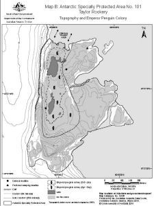 |
| 13709 | Antarctic Specially Protected Area No. 101 Taylor Rookery Map B: Topography and Emperor Penguin Colony |
2010 | 1 : 5000 |
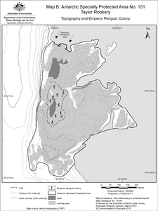 |
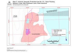
| 13710 | Antarctic Specially Protected Area No. 101 Taylor Rookery Map C: Helicopter Approach and Landing site |
2010 | 1 : 7500 |
 |
| 14339 | Antarctic Specially Protected Area No. 101 Taylor Rookery Map C: Helicopter Approach and Landing site |
2015 | 1 : 7500 |
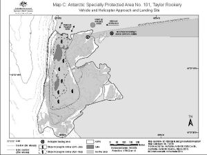 |
| 14351 | Antarctic Specially Protected Area No. 101 Taylor Rookery Map D: ASPA boundary points |
2015 | 1 : 7500 |
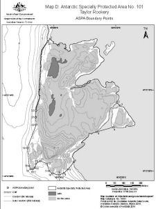 |
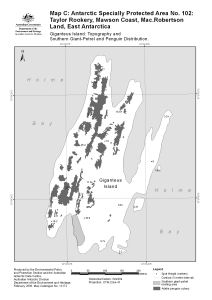
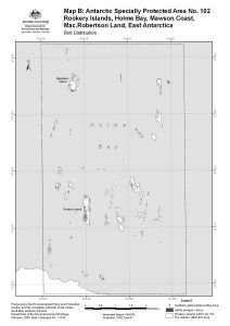
| 14356 | Antarctic Specially Protected Area No. 102 Giganteus Island (Restricted Zone) Map C: Topography and Bird Distribution |
2015 | 1 : 5000 |
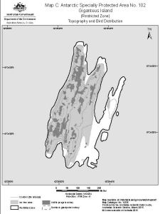 |
| 13715 | Antarctic Specially Protected Area No. 102 Giganteus Island (Restricted Zone) Map C: Topography and Bird Distribution |
2010 | 1 : 5000 |
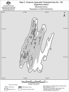 |
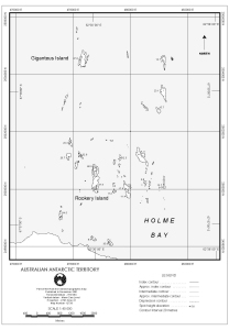
| 13714 | Antarctic Specially Protected Area No. 102 Rookery Islands Map B : Bird Distribution |
2010 | 1 : 36 000 |
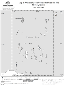 |
| 14355 | Antarctic Specially Protected Area No. 102 Rookery Islands Map B : Bird Distribution |
2015 | 1 : 57 000 |
 |
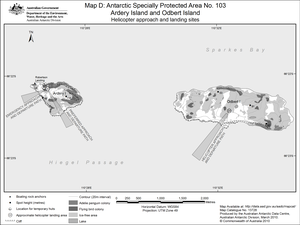
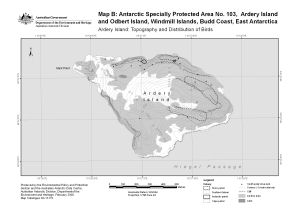
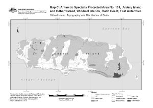
| 14365 | Antarctic Specially Protected Area No. 103 Ardery Island and Odbert Island Map D: Helicopter Approach and Landing Sites |
2015 | 1 : 35 000 |
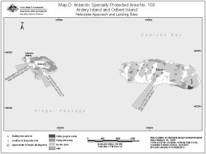 |
| 13728 | Antarctic Specially Protected Area No. 103 Ardery Island and Odbert Island Map D: Helicopter approach and landing sites |
2010 | 1 : 35 000 |
 |
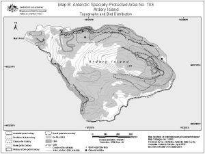
| 13726 | Antarctic Specially Protected Area No. 103 Ardery Island Map B: Topography and Bird Distribution |
2010 | 1 : 8000 |
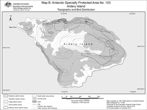 |
| 14363 | Antarctic Specially Protected Area No. 103 Ardery Island Map B: Topography and Bird Distribution |
2015 | 1 : 8000 |
 |
| 14364 | Antarctic Specially Protected Area No. 103 Odbert Island Map C: Topography and Bird Distribution |
2015 | 1 : 15 000 |
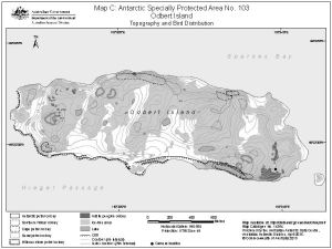 |
| 13727 | Antarctic Specially Protected Area No. 103 Odbert Island Map C: Topography and Bird Distribution |
2010 | 1 : 15 000 |
 |
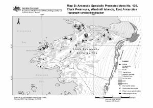
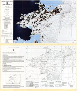
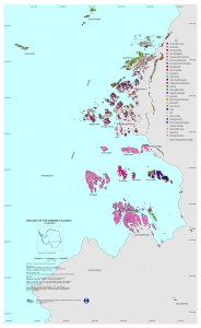
| 13253 | Antarctic Specially Protected Area No. 136 : Map B, Clark Peninsula, Windmill Islands, East Antarctica. Topography and bird distribution. | 2006 | 1 : 30 000 |
 |
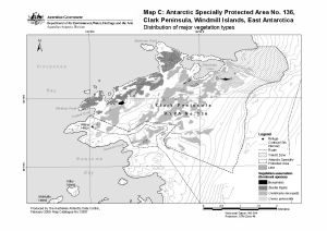
| 13255 | Antarctic Specially Protected Area No. 136 : Map C, Clark Peninsula, Windmill Islands, East Antarctica. Distribution of major vegetation types. | 2006 | 1 : 30 000 |
 |
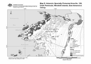
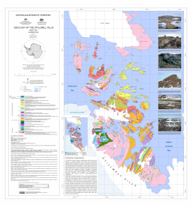
| 13257 | Antarctic Specially Protected Area No. 136 : Map D, Clark Peninsula, Windmill Islands, East Antarctica. Geology | 2006 | 1 : 30 000 |
 |
| 13596 | Antarctic Specially Protected Area No. 136, Clark Peninsula, Windmill Islands, East Antarctica. Map B: Topography and bird distribution. |
2009 | 1 : 30 000 |
 |
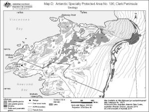
| 13598 | Antarctic Specially Protected Area No. 136, Clark Peninsula, Windmill Islands, East Antarctica. Map D: Geology |
2009 | 1 : 30 000 |
 |
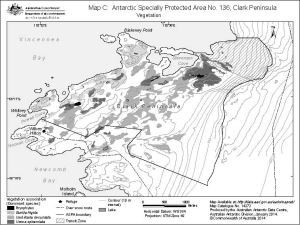
| 13597 | Antarctic Specially Protected Area No. 136, Clark Peninsula, Windmill Islands, East Antarctica. Map C:Distribution of major vegetation types. |
2009 | 1 : 30 000 |
 |
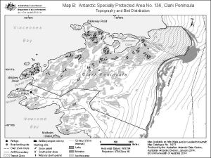
| 14271 | Antarctic Specially Protected Area No. 136 Clark Peninsula Map B: Topography and bird distribution |
2014 | 1 : 35 000 |
 |
| 14272 | Antarctic Specially Protected Area No. 136 Clark Peninsula Map C : Vegetation |
2014 | 1 : 35 000 |
 |
| 14273 | Antarctic Specially Protected Area No. 136 Clark Peninsula Map D: Geology |
2014 | 1 : 30 000 |
 |
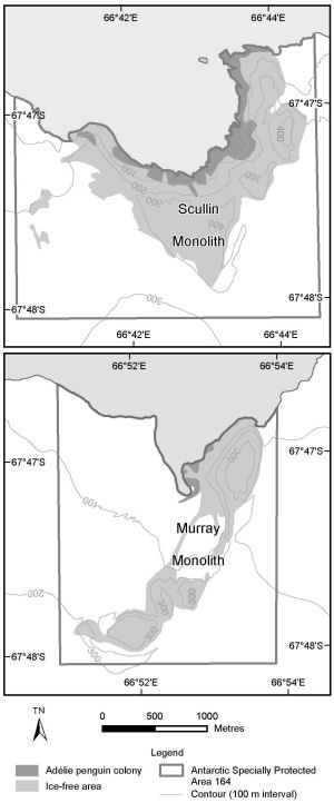
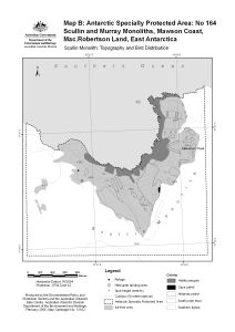
| 14344 | Antarctic Specially Protected Area No. 164 Murray Monolith Map C: Topography and Bird Distribution |
2015 | 1 : 24 000 |
 |
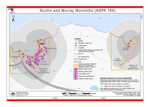
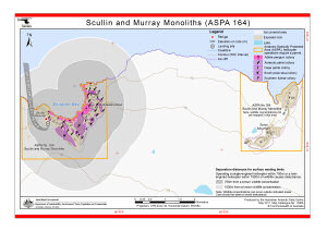
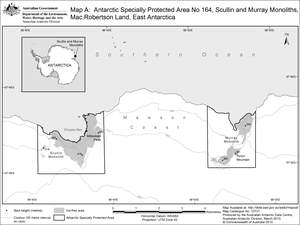
| 14342 | Antarctic Specially Protected Area No. 164 Scullin and Murray Monoliths, Mawson Coast, Mac.Robertson Land, East Antarctica Map A |
2015 | 1 : 65 000 |
 |
| 14343 | Antarctic Specially Protected Area No. 164 Scullin Monolith Map B: Topography and Bird Distribution |
2015 | 1 : 24 000 |
 |
| 14345 | Antarctic Specially Protected Area No. 164 Scullin Monolith Map D: Helicopter approach and landing site |
2015 | 1 : 24 000 |
 |
| 14087 | Antarctic Zhongshan Station of China | 2005 | 1 : 1000 | |
| 14088 | Antarctic Zhongshan Station of China | 2005 | 1 : 2000 | |
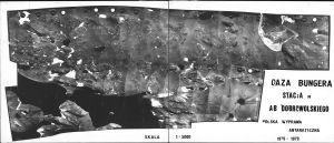
| 13312 | Antarktyczna Stacja im. A.B. Dobrowolskiego : Oaza Bungera | 1979 | 1 : 500 |
 |
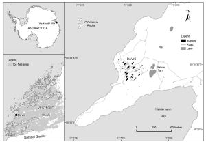
| 1759 | Approaches to Davis Station | 1958 | 1 : 20 000 |
 |
| 14143 | Approaches to Wilkes Station | 1962 | 1 : 50 000 |
 |
| 13881 | Ardery and Odbert Islands (ASPA 103) (Helicopter Operations) | 2011 | 1 : 26 000 |
 |
| 12553 | Ardery and Orbert Islands (SPA 3) (Helicopter Operations) | 2000 | 1 : 26 000 |
 |
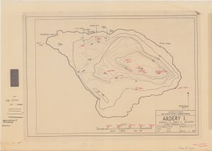
| 11205 | Ardery Island | 1999 | 1 : 6000 |
 |
| 13170 | Ardery Island : Topography and distribution of birds. Map B : Antarctic Specially Protected area no. 103 | 2006 | 1 : 7500 |
 |
| 14141 | Ardery Island, Windmill Islands | 1963 | 1 : 3000 |
 |
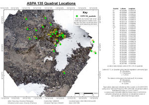
| 14450 | ASPA 135 Quadrat Locations | 2015 | 1 : 400 |
 |
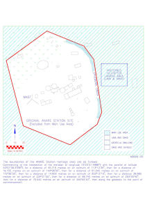
| 14173 | Atlas Cove former ANARE Station site | 1995 | 1 : 570 |
 |
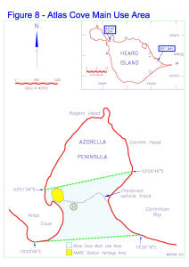
| 14169 | Atlas Cove Main Use Area | 1995 | 1 : c23 250 |
 |
| 13656 | Atlas Cove photograph locations | 2008 | 1 : 750 |
 |
| 14601 | AUS 600 Approaches to Mawson | 2016 | 1 : 25 000 |
 |
| 14505 | AUS 601 Approaches to Casey | 2015 | 1 : 50 000 |
 |
| 13018 | AUS 602 Approaches to Davis Anchorage | 2019 | 1 : 12 500 |
 |
| 14023 | AUS 603 Approaches to Commonwealth Bay | 2011 | 1 : 25 000 |
 |
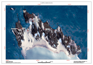
| 12718 | Australian Antarctic Territory - Cape Denison | 2001 | 1 : 5000 |
 |
| 12719 | Australian Antarctic Territory - Cape Denison | 2001 | 1 : 2500 |
 |
| 12720 | Australian Antarctic Territory - Cape Denison | 2001 | 1 : 750 |
 |
| 13570 | Australian Antarctic Territory - Cape Denison | 2008 | 1 : 5000 |
 |
| 13446 | Australian Antarctic Territory - Cape Denison : Survey marks | 2001 | 1 : 2500 |
 |
| 2988 | Aviatorov Peninsula | 1959 | 1 : 50 000 |
 |
| 13101 | Azorella Peninsula, Heard Island | 2004 | 1 : 24 200 |
 |
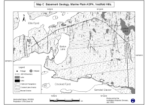
| 12969 | Basement Geology, Marine Plain ASPA, Vestfold Hills. Map C | 2002 | 1 : 47 600 |
 |
| 2123 | Bay of Morbihan / Kerguelen Archipelago | 1953 | 1 : 30 000 | |
| 2126 | Bay of Morbihan / Kerguelen Archipelago (Part East) | 1952 | 1 : 50 000 | |
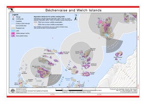
| 12581 | Bechervaise and Welch Islands (Helicopter Operations) | 2000 | 1 : 36 500 |
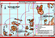 |
| 13904 | Béchervaise and Welch Islands (Helicopter Operations) | 2011 | 1 : 37 500 |
 |
| 12727 | Bechervaise Island [Penguin Colonies : Topographical map] | 2000 | 1 : 6500 |
 |
| 12724 | Bechervaise Island Penguin Colonies : Orthophoto map | 2000 | 1 : 5000 |
 |
| 12721 | Bechervaise Island topographical map | 2000 | 1 : 10 000 |
 |
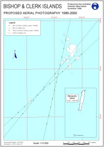
| 11505 | Bishop and Clerk Islands proposed aerial photography 1999-2000 | 1999 | 1 : 10 000 |
 |
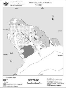
| 14014 | Brattnevet, Larsemann Hills Geology |
2014 | 1 : 11 000 |
 |
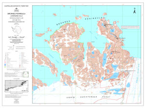
| 13774 | Broknes Peninsula and Larsemann Hills Sheet 1 of 4 | 1996 | 1 : 5000 |
 |
| 13775 | Broknes Peninsula and Larsemann Hills Sheet 2 of 4 | 1996 | 1 : 5000 |
 |
| 13776 | Broknes Peninsula and Larsemann Hills Sheet 3 of 4 | 1996 | 1 : 5000 |
 |
| 13777 | Broknes Peninsula and Larsemann Hills Sheet 4 of 4 | 1996 | 1 : 5000 |
 |
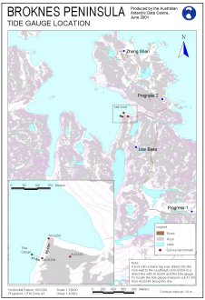
| 12712 | Broknes Peninsula Tide Gauge Location | 2001 | 1 : 20 000 |
 |
| 13135 | Broknes Peninsula, Larsemann Hills : environmental management map | 2005 | 1 : 10 000 |
 |
| 5139 | Broknes Peninsula, Survey Control and Flight Lines | 1998 | 1 : 10 000 |
 |
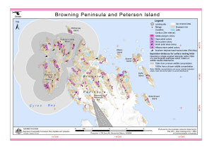
| 12555 | Browning Peninsula and Peterson Island (Helicopter Operations) | 2000 | 1 : 41 400 |
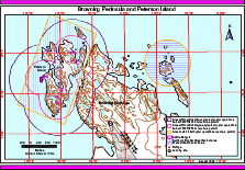 |
| 13883 | Browning Peninsula and Peterson Island (Helicopter Operations) | 2011 | 1 : 42 000 |
 |
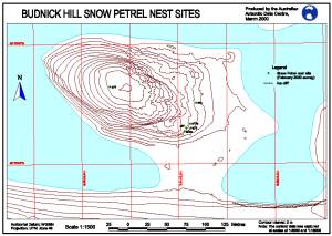
| 12220 | Budnick Hill Snow Petrel Nest Sites | 2000 | 1 : 1500 |
 |
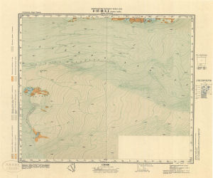
| 3025 | Bunger Hills | 1959 | 1 : 50 000 | |
| 3026 | Bunger Hills | 1959 | 1 : 50 000 | |
| 3027 | Bunger Hills | 1959 | 1 : 50 000 | |
| 3030 | Bunger Hills | 1959 | 1 : 50 000 | |
| 3031 | Bunger Hills | 1959 | 1 : 50 000 | |
| 14163 | Bunger Hills | 1988 | 1 : 50 000 |
 |
| 24 | Bunger Hills East, Wilkes Land | 1992 | 1 : 50 000 |
 |
| 25 | Bunger Hills West, Wilkes Land, Queen Mary Land | 1992 | 1 : 50 000 |
 |
| 855 | Bunger Hills, Aviatorov Peninsula - Flight Line Diagram | 1986 | 1 : 50 000 |
 |
| 856 | Bunger Hills, Charnokitovyi Peninsula - Flight Line Diagram | 1986 | 1 : 50 000 |
 |
| 861 | Bunger Hills, Edisto Glacier - Flight Line Diagram | 1986 | 1 : 50 000 |
 |
| 858 | Bunger Hills, Grace Rocks - Flight Line Diagram | 1986 | 1 : 50 000 |
 |
| 848 | Bunger Hills, Oasis Polar ST. - Flight Line Diagram | 1986 | 1 : 50 000 |
 |
| 862 | Bunger Hills, Taylor Islands - Flight Line Diagram | 1986 | 1 : 50 000 |
 |
| 869 | Bunger Hills, Thomas Island - Flight Line Diagram | 1986 | 1 : 50 000 |
 |
| 860 | Bunger Hills, Thomas ST | 1986 | 1 : 50 000 | |
| 2624 | Bunger Oasis | 1979 | 1 : 5000 |
 |
| 5802 | Campbell Island | 1973 | 1 : 35 000 | |
| 13855 | Cape Denison | 2010 | 1 : 7500 |
 |
| 12755 | Cape Denison - George V Land Coast | 2001 | 1 : 5000 |
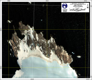 |
| 13575 | Cape Denison (Out of Date) | 2010 | 1 : 5000 |
 |
| 13927 | Cape Denison (ASMA 3) (Helicopter Operations) | 2011 | 1 : 8000 |
 |
| 14309 | Cape Denison (ASPA 162) (Helicopter Operations) | 2014 | 1 : 8000 |
 |
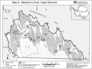
| 13119 | Cape Denison : Mawson's huts historic site | 2003 | 1 : 8420 |
 |
| 12754 | Cape Denison and Mackellar Islands - George V Land Coast | 2001 | 1 : 10 000 |
 |
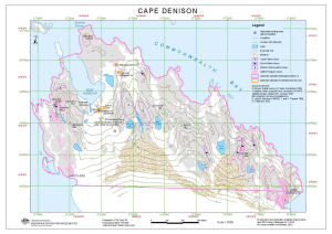
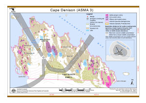
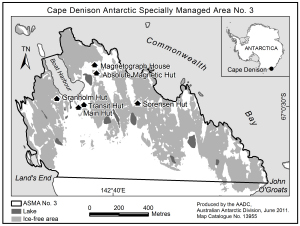
| 13955 | Cape Denison Antarctic Specially Managed Area No. 3 | 2011 | 1 : 20 000 |
 |
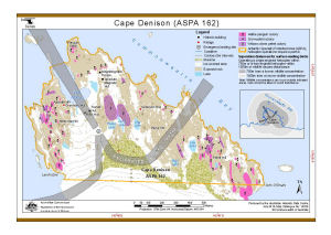
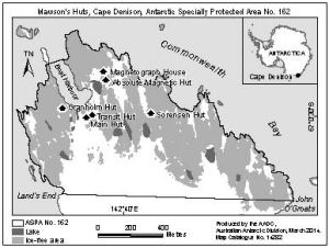
| 14282 | Cape Denison Antarctic Specially Protected Area No. 162 | 2014 | 1 : 20 000 |
 |
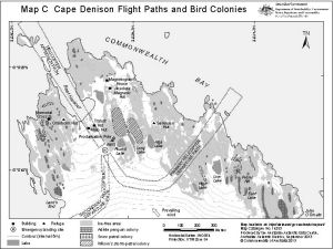
| 12974 | Cape Denison Flight Paths and Bird Colonies | 2003 | 1 : 10 000 |
 |
| 14253 | Cape Denison Flight Paths and Bird Colonies Map C |
2013 | 1 : 10 000 |
 |
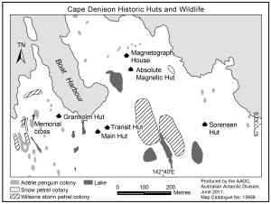
| 13956 | Cape Denison Historic Huts and Wildlife | 2011 | 1 : 10 000 |
 |
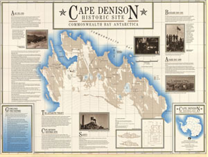
| 156 | Cape Denison Historic Site - Commonwealth Bay Antarctica | 1990 | 1 : 3300 |
 |
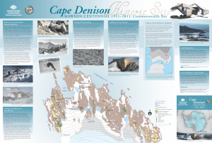
| 14013 | Cape Denison Historic Site Mawson Centennial 1911-2011, Commonwealth Bay |
2011 | 1 : 3330 |
 |
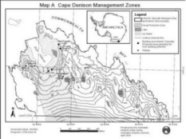
| 12972 | Cape Denison Management Zones | 2003 | 1 : 10 000 |
 |
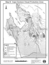
| 12973 | Cape Denison Visual Protection Zone | 2003 | 1 : 5800 |
 |
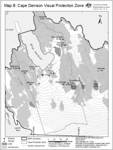
| 14252 | Cape Denison Visual Protection Zone Map B |
2013 | 1 : 5800 |
 |
| 12878 | Cape Denison, Commonwealth Bay (Helicopter Operations) | 2002 | 1 : 8000 |
 |
| 12586 | Cape Denison, Commonwealth Bay (Helicopter Operations) | 2000 | 1 : 8000 |
 |
| 12753 | Cape Denison, Mackellar Islands and George V Land Coast | 2001 | 1 : 25 000 |
 |
| 13573 | Cape Denison: Main Hut to ANARE wind pole | 2008 | 1 : 150 |
 |
| 12837 | Carte No. 6100 du Service Hydrographique de la Marine | 1 : 30 000 | ||
| 12838 | Carte No. 6100 du Service Hydrographique de la Marine | 1 : 30 000 | ||
| 14186 | Casey : Antarctica base - Casey wharf detail | 1988 | 1 : 200 |
 |
| 14178 | Casey : Antarctica base - detail engineering survey | 1986 | 1 : 500 | |
| 14185 | Casey : Antarctica base - detail engineering survey (Sheet 1 of 9) | 1988 | 1 : 500 |
 |
| 14191 | Casey : Antarctica Base - detail engineering survey : SE portion of base | 1988 | 1 : 1000 |
 |
| 14192 | Casey : Antarctica Base - detail engineering survey : SW portion of base | 1988 | 1 : 1000 |
 |
| 14187 | Casey : Antarctica base - Emergency power house, met enclosure and proposed science building area : detail engineering survey (Sheet 1 of 2) | 1989 | 1 : 200 |
 |
| 14189 | Casey : Antarctica Base - Proposed Helipad Area : detail engineering survey (Sheet 1 of 2) | 1989 | 1 : 200 |
 |
| 14188 | Casey : Antarctica base - proposed science building area : detail engineering survey | 1989 | 1 : 200 |
 |
| 14190 | Casey : Antarctica Base - Proposed Vehicle Shelter and Flammable Liquid Store : detail engineering survey | 1989 | 1 : 200 |
 |
| 14008 | Casey : Local Area North | 2011 | 1 : 53 000 |
 |
| 12548 | Casey and Clark Peninsula approach paths (Helicopter Operations) | 2000 | 1 : 58 000 |
 |
| 192 | Casey Approaches | 1991 | 1 : 10 000 | |
| 389 | Casey Approaches including enlarged inset of Newcomb Bay | 1992 | 1 : 50 000 | |
| 890 | Casey Area - overlaid with flight paths | 1990 | 1 : 50 000 | |
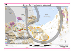
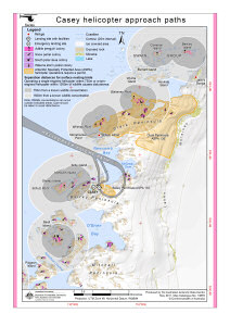
| 13880 | Casey final helicopter approach (Helicopter Operations) | 2011 | 1 : 10 000 |
 |
| 14248 | Casey final helicopter approach (Helicopter Operations) | 2013 | 1 : 13 465 |
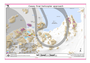 |
| 14305 | Casey final helicopter approach (Helicopter Operations) | 2014 | 1 : 10 000 |
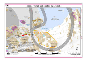 |
| 14540 | Casey final helicopter approach (Helicopter Operations) | 2016 | 1 : 10 000 |
 |
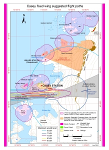
| 13930 | Casey fixed wing suggested flight paths | 2012 | 1 : 55 000 |
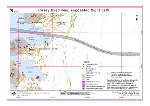 |
| 13024 | Casey fixed wing suggested flight paths | 2003 | 1 : 55 000 |
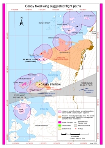 |
| 13689 | Casey fixed wing suggested flight paths | 2009 | 1 : 55 000 |
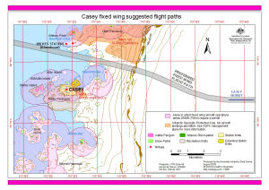 |
| 13085 | Casey fixed wing suggested flight paths and maximum sound levels | 2004 | 1 : 55 000 |
 |
| 13879 | Casey helicopter approach paths (Helicopter Operations) | 2011 | 1 : 60 000 |
 |
| 14566 | Casey Helipads | 2017 | 1 : 1500 |
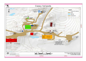 |
| 14247 | Casey Helipads | 2013 | 1 : 1500 |
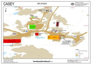 |
| 14600 | Casey Helipads | 2017 | 1 : 1500 |
 |
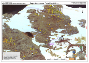
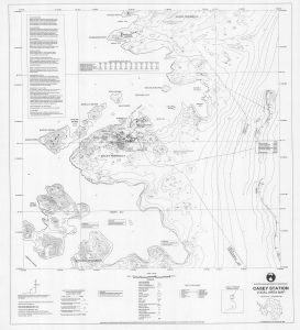
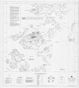
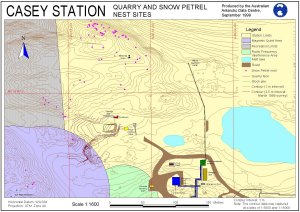
| 13992 | Casey Quarry and Petrel Nest Sites | 2011 | 1 : 1187 |
 |
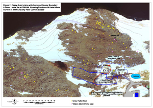
| 13383 | Casey quarry area with surveyed quarry boundary and outer limits set at 1985/86 showing positions of petrel nests current at 2004 and quarry face current at 2000 | 2005 | 1 : c1666 |
 |
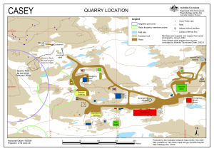
| 13740 | Casey Quarry Location | 2010 | 1 : 2000 |
 |
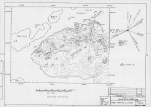
| 5151 | Casey Radio Installations | 1986 | 1 : 8000 |
 |
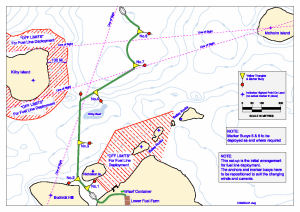
| 13745 | Casey refuelling: initial arrangement for fuel line deployment | 2010 | 1 : 5200 |
 |
| 207 | Casey Station - Approaches | 1991 | 1 : 10 000 | |
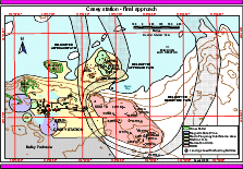
| 12552 | Casey station - final approach (Helicopter Operations) | 2000 | 1 : 10 000 |
 |
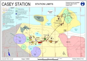
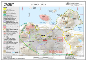
| 12743 | Casey Station - Station Limits | 2001 | 1 : 6000 |
 |
| 12888 | Casey Station : Orthophoto map | 2002 | 1 : 1125 |
 |
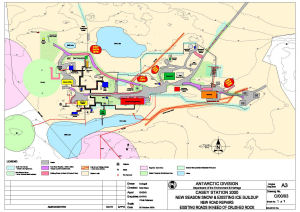
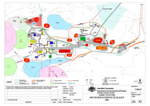
| 14458 | Casey Station 2000 New Season Snow and Existing Ice Buildup New Road Repairs Existing Roads in Need of Crushed Rock |
2000 | 1 : 1000 |
 |
| 198 | Casey Station Approaches | 1993 | 1 : 25 000 | |
| 199 | Casey Station Approaches | 1991 | 1 : 25 000 | |
| 12889 | Casey Station Area : Orthophoto map | 2002 | 1 : 3000 |
 |
| 12708 | Casey Station Area Map | 2000 | 1 : 3200 |
 |
| 13021 | Casey Station Area Map | 2003 | 1 : 20 000 |
 |
| 13049 | Casey Station Area Map | 2003 | 1 : 3200 |
 |
| 12532 | Casey Station Area Map | 1999 | 1 : 20 000 |
 |
| 12533 | Casey Station Area Map | 2000 | 1 : 20 000 |
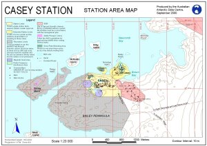 |
| 11112 | Casey Station Area Map | 1999 | 1 : 3200 |
 |
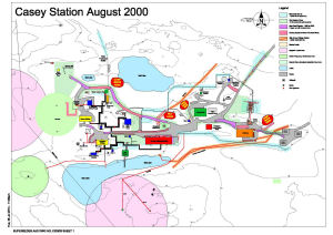
| 14459 | Casey Station August 2000 | 2001 | 1 : 1000 |
 |
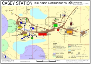
| 10146 | Casey Station Buildings and Structures | 1999 | 1 : 2500 |
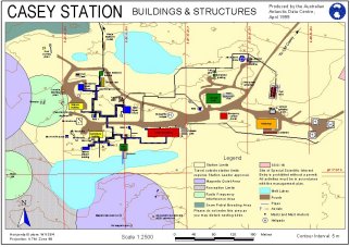 |
| 12460 | Casey Station Buildings and Structures | 2000 | 1 : 2500 |
 |
| 13064 | Casey Station Buildings and Structures | 2004 | 1 : 2500 |
 |
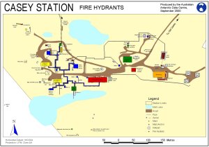
| 12420 | Casey Station Fire Hydrants | 2000 | 1 : 2600 |
 |
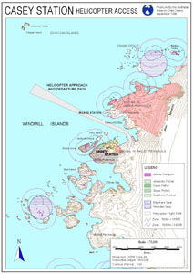
| 12201 | Casey Station Helicopter Access | 1998 | 1 : 75 000 |
 |
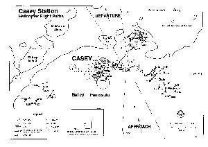
| 12224 | Casey Station Helicopter Flight Paths | 1996 | 1 : 13 200 |
 |
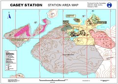
| 5153 | Casey Station Local Area Map | 1996 | 1 : 10 000 |
 |
| 13131 | Casey Station Local Area Map | 1992 | 1 : 10 000 |
 |
| 14058 | Casey Station Local Area Map | 1995 | 1 : 10 000 |
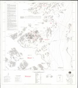 |
| 11325 | Casey Station Quarry and Snow Petrel Nest Sites | 1999 | 1 : 1600 |
 |
| 12223 | Casey Station Quarry and Snow Petrel Nest Sites | 2000 | 1 : 3000 |
 |
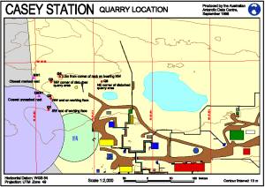
| 12221 | Casey Station Quarry Location | 1998 | 1 : 2000 |
 |
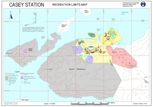
| 12742 | Casey Station Recreation Limits Map | 2001 | 1 : 10 000 |
 |
| 13022 | Casey Station Recreation Limits Map (Out of Date) | 2003 | 1 : 10 000 |
 |
| 11326 | Casey Station Road from the Station to Old Casey | 1999 | 1 : 2800 |
 |
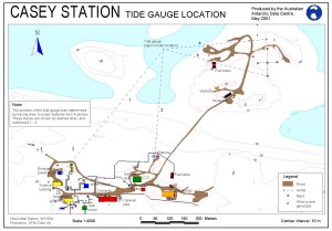
| 12706 | Casey Station Tide Gauge Location | 2001 | 1 : 4000 |
 |
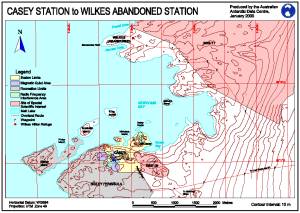
| 12203 | Casey Station to Wilkes Abandoned Station | 2000 | 1 : 25 000 |
 |
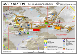
| 13360 | Casey Station: Buildings and Structures | 2007 | 1 : 2500 |
 |
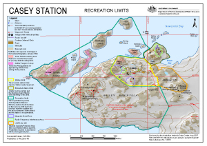
| 13384 | Casey Station: Recreation Limits | 2007 | 1 : 15 500 |
 |
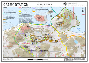
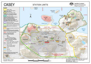
| 13361 | Casey Station: Station Limits | 2007 | 1 : 6000 |
 |
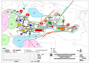
| 14460 | Casey Station New Season and Existing Ice Buildup |
2003 | 1 : 1000 |
 |
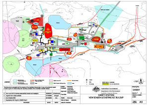
| 14462 | Casey Station New Season and Existing Ice Buildup |
2014 | 1 : 1000 |
 |
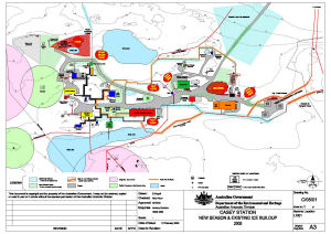
| 14461 | Casey Station New Season and Existing Ice Buildup 2005 |
2005 | 1 : 1000 |
 |
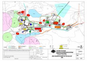
| 13973 | Casey Station New Season and Existing Ice Buildup 2005 |
2008 | 1 : 1000 |
 |
| 13488 | Casey Station New Season and Existing Ice Buildup 2005 |
2005 | 1 : 1000 |
 |
| 5152 | Casey Transmitter Site | 1969 | 1 : 600 |
|
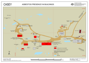
| 13938 | Casey: Asbestos presence in buildings | 2011 | 1 : 1400 |
 |
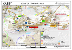
| 14483 | Casey: Buildings and Structures | 2015 | 1 : 2500 |
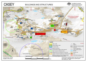 |
| 14532 | Casey: Buildings and Structures | 2016 | 1 : 2500 |
 |
| 14292 | Casey: Buildings and Structures | 2014 | 1 : 2500 |
 |
| 14596 | Casey: Buildings and Structures | 2017 | 1 : 2500 |
 |
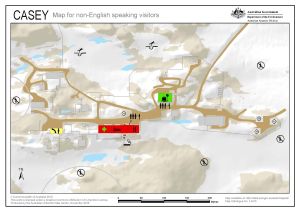
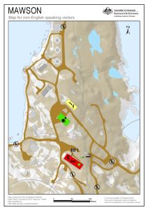
| 14479 | Casey: Critical safety map for non-English speaking visitors | 2015 | 1 : c2200 |
 |
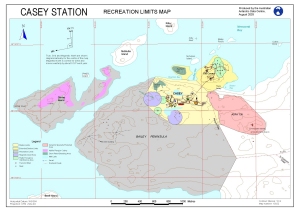
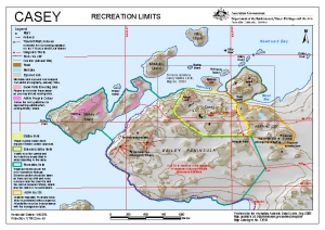
| 14485 | Casey: Recreation Limits | 2015 | 1 : 15 500 |
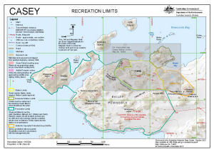 |
| 14295 | Casey: Recreation Limits | 2014 | 1 : 15 500 |
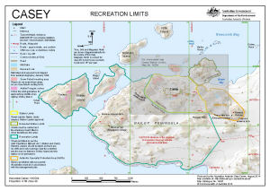 |
| 13917 | Casey: Recreation Limits | 2010 | 1 : 15 500 |
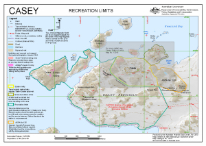 |
| 14534 | Casey: Recreation Limits | 2016 | 1 : 15 500 |
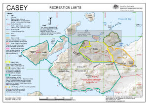 |
| 14598 | Casey: Recreation Limits | 2017 | 1 : 15 500 |
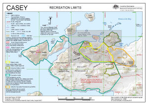 |
| 13650 | Casey: Recreation Limits | 2009 | 1 : 15 500 |
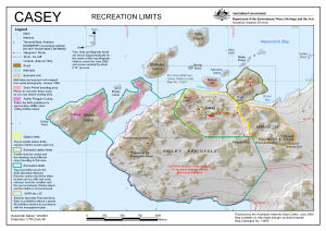 |
| 13510 | Casey: Recreation Limits | 2008 | 1 : 15 500 |
 |
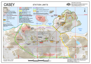
| 14597 | Casey: Station Limits | 2017 | 1 : 6000 |
 |
| 13916 | Casey: Station Limits | 2010 | 1 : 6000 |
 |
| 14294 | Casey: Station Limits | 2014 | 1 : 6000 |
 |
| 14484 | Casey: Station Limits | 2015 | 1 : 6000 |
 |
| 14533 | Casey: Station Limits | 2016 | 1 : 6000 |
 |
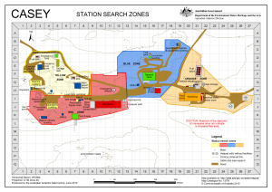
| 13520 | Casey: Station Search Zones | 2008 | 1 : 2500 |
 |
| 13791 | Casey: Station Search Zones | 2010 | 1 : 2250 |
 |
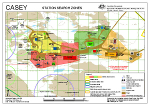
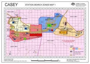
| 14315 | Casey: Station Search Zones Map 1 | 2014 | 1 : 2250 |
 |
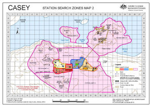
| 14324 | Casey: Station Search Zones Map 2 | 2014 | 1 : 6400 |
 |
| 2992 | Charnokitovyy Peninsula | 1959 | 1 : 50 000 |
 |
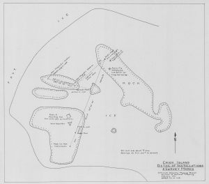
| 991 | Chick Island : detail of installations and survey marks | 1961 | 1 : 480 |
 |
| 14288 | Clark Peninsula to O'Brien Bay, Windmill Islands with Casey inset [Black and white] | 2014 | 1 : 85 000 |
 |
| 4 | Clark Peninsula, Site of Special Scientific Interest no.17 | 1996 | 1 : 10 000 |
 |
| 14055 | Commonwealth Bay (Antarctica) | 1988 | 1 : 2000 |
 |
| 13768 | Commonwealth Bay (Antarctica) Detail Engineering Survey Sheet 1 of 17 |
1985 | 1 : 500 |
 |
| 14053 | Commonwealth Bay (Antarctica) Control Marks |
1988 | 1 : 2000 |
 |
| 14056 | Commonwealth Bay (Antarctica) Magnetic Hut and surround Detail and contours |
1985 | 1 : 200 |
 |
| 14136 | Commonwealth Bay (Antarctica) Main hut and surround Detail and contours |
1985 | 1 : 200 |
 |
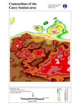
| 11185 | Contour lines of the Casey Station area | 1998 | 1 : 9500 |
 |
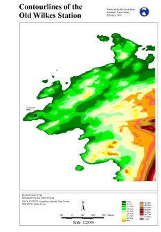
| 11165 | Contour lines of the old Wilkes Station | 1998 | 1 : 23 000 |
 |
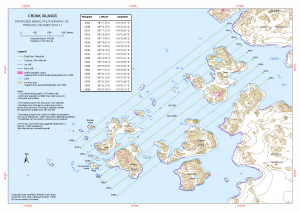
| 13925 | Cronk Islands Proposed Aerial Photography 2010-11 |
2010 | 1 : 25 000 |
 |
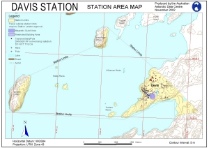
| 421 | Davis | 1984 | 1 : 18 000 | |
| 1750 | Davis | 1958 | 1 : 20 000 | |
| 14176 | Davis : Antarctica Base - detail engineering survey (Sheet 1 of 8) | 1989 | 1 : 500 |
 |
| 14177 | Davis : Antarctica Base - detail engineering survey (Sheet 1 of 8) | 1988 | 1 : 500 |
 |
| 14194 | Davis : Antarctica Base - Survey Marks Plan | 1988 | 1 : 2000 |
 |
| 13987 | Davis : Local Area | 2011 | 1 : 40 000 |
 |
| 12557 | Davis approach paths (Helicopter Operations) | 2000 | 1 : 40 500 |
 |
| 13937 | Davis Asbestos presence in buildings | 2011 | 1 : 1750 |
 |
| 14139 | Davis Bathymetric Map | 1984 | 1 : 18 200 |
 |
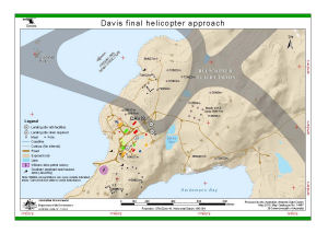
| 14121 | Davis final helicopter approach (Helicopter Operations) | 2012 | 1 : 8500 |
 |
| 13889 | Davis final helicopter approach (Helicopter Operations) | 2011 | 1 : 8500 |
 |
| 14467 | Davis final helicopter approach (Helicopter Operations) | 2015 | 1 : 8500 |
 |
| 14219 | Davis Fire Hydrants (Superceded) | 2013 | 1 : 1100 |
 |
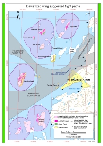
| 13931 | Davis fixed wing suggested flight path | 2012 | 1 : 40 000 |
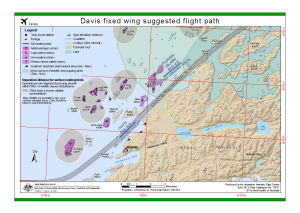 |
| 13026 | Davis fixed wing suggested flight paths | 2003 | 1 : 40 000 |
 |
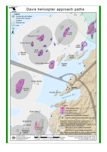
| 13888 | Davis helicopter approach paths (Helicopter Operations) | 2011 | 1 : 41 000 |
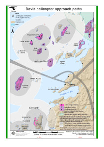 |
| 14122 | Davis helicopter approach paths (Helicopter Operations) | 2012 | 1 : 41 000 |
 |
| 14220 | Davis Helipads | 2013 | 1 : 1100 |
 |
| 14468 | Davis helipads | 2015 | 1 : 1700 |
 |
| 14604 | Davis helipads (Helicopter Operations) | 2017 | 1 : 1700 |
 |
| 14571 | Davis Infrasound Power Supply Cable Route | 2018 | 1 : 17 000 |
 |
| 14465 | Davis Sea Ice Ski Landing Area | 2015 | 1 : 43 000 |
 |
| 12558 | Davis station - final approach (Helicopter Operations) | 2000 | 1 : 8300 |
 |
| 11305 | Davis Station - Location of Moorings | 1999 | 1 : 20 000 |
 |
| 12441 | Davis Station Area Map | 2000 | 1 : 20 000 |
 |
| 11114 | Davis Station Area Map | 1999 | 1 : 1500 |
 |
| 10905 | Davis Station Area Map | 1999 | 1 : 20 000 |
 |
| 12709 | Davis Station Area Map | 2000 | 1 : 1500 |
 |
| 12891 | Davis Station Area Map | 2002 | 1 : 23 000 |
 |
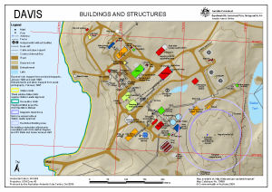
| 13053 | Davis Station Buildings and Structures | 2004 | 1 : 2500 |
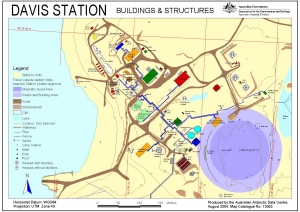 |
| 10906 | Davis Station Buildings and Structures | 1999 | 1 : 2500 |
 |
| 12440 | Davis Station Buildings and Structures | 2000 | 1 : 2500 |
 |
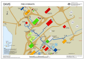
| 12421 | Davis Station Fire Hydrants | 2000 | 1 : 2600 |
 |
| 10305 | Davis Station Helicopter Access | 1998 | 1 : 75 000 |
 |
| 12325 | Davis Station Helicopter Flight Paths | 1996 | 1 : 10 000 |
 |
| 1776 | Davis Station local Area Map | 1956 | 1 : 10 000 | |
| 5154 | Davis Station Local Area Map | 1992 | 1 : 10 000 |
 |
| 14060 | Davis Station local area map | 1995 | 1 : 10 000 |
 |
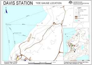
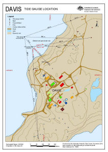
| 13065 | Davis Station Tide Gauge Location | 2004 | 1 : 2800 |
 |
| 12705 | Davis Station Tide Gauge Locations | 2001 | 1 : 2500 |
 |
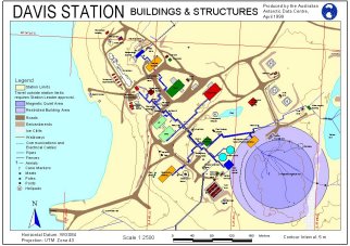
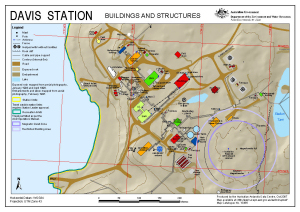
| 13385 | Davis Station: Buildings and Structures | 2007 | 1 : 2500 |
 |
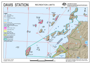
| 13387 | Davis Station: Recreation Limits | 2007 | 1 : 40 000 |
 |
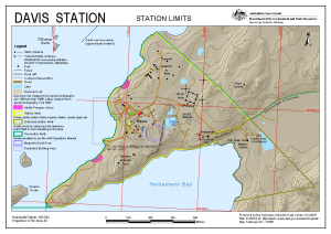
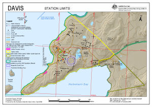
| 13386 | Davis Station: Station Limits | 2007 | 1 : 10 000 |
 |
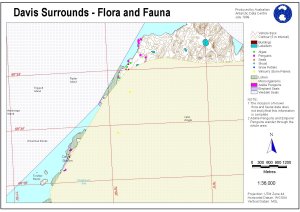
| 11265 | Davis Surrounds - Flora and Fauna | 1999 | 1 : 36 000 |
 |
| 14119 | Davis with Vestfold Hills and Antarctica insets [Black and white] | 2012 | 1 : 14 000 |
 |
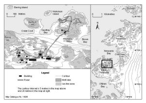
| 14148 | Davis: Buildings and Structures | 2012 | 1 : 2500 |
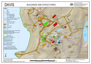 |
| 14605 | Davis: Buildings and Structures | 2017 | 1 : 2500 |
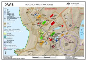 |
| 13699 | Davis: Buildings and Structures | 2009 | 1 : 2500 |
 |
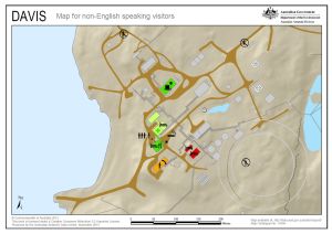
| 14494 | Davis: Critical safety map for non-English speaking visitors | 2015 | 1 : 2500 |
 |
| 13734 | Davis: Proposed Hydrographic Surveying 2009-10 | 2009 | 1 : 34 000 |
 |
| 13700 | Davis: Recreation Limits | 2009 | 1 : 40 000 |
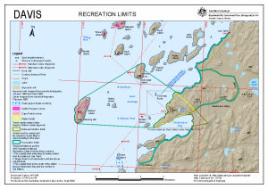 |
| 14296 | Davis: Recreation Limits | 2014 | 1 : 40 000 |
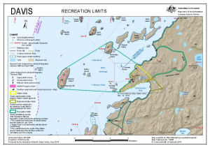 |
| 14150 | Davis: Recreation Limits | 2012 | 1 : 40 000 |
 |
| 14595 | Davis: Recreation Limits | 2017 | 1 : 40 000 |
 |
| 14630 | Davis: Recreation Limits | 2017 | 1 : 40 000 |
 |
| 14149 | Davis: Station Limits | 2012 | 1 : 10 000 |
 |
| 14606 | Davis: Station Limits | 2017 | 1 : 10 000 |
 |
| 13701 | Davis: Station Limits | 2009 | 1 : 10 000 |
 |
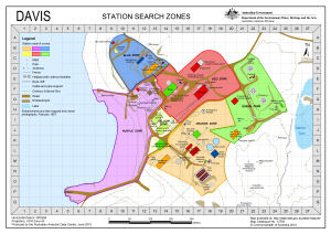
| 13793 | Davis: Station Search Zones | 2010 | 1 : 2700 |
 |
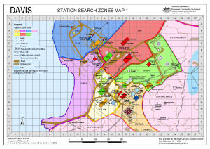
| 14129 | Davis: Station Search Zones Map 1 | 2012 | 1 : 2700 |
 |
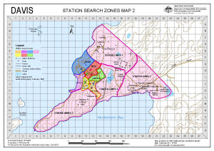
| 14138 | Davis: Station Search Zones Map 2 | 2012 | 1 : 10 500 |
 |
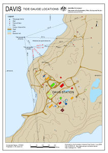
| 14262 | Davis: Tide Gauge Location | 2013 | 1 : 4200 |
 |
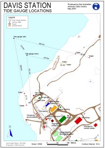
| 13649 | Davis: Tide Gauge Locations | 2009 | 1 : 4200 |
 |
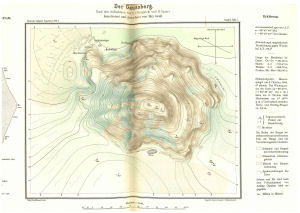
| 14157 | Der Gaussberg | 1921 | 1 : 7500 |
 |
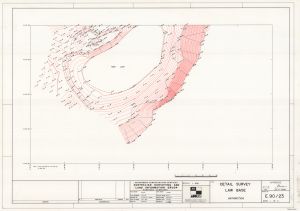
| 13814 | Detail Survey: Law Base (Sheet 1 of 2) | 1990 | 1 : 500 |
 |
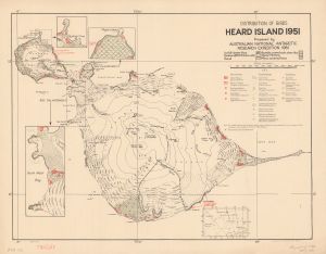
| 1544 | Distribution of Birds, Heard Island 1951 | 1952 | 1 : 82 286 |
 |
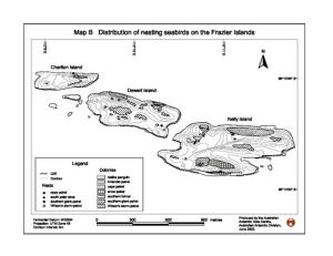
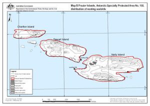
| 12933 | Distribution of nesting seabirds on the Frazier Islands | 2002 | 1 : 12 700 |
 |
| 12920 | Draft - Framnes Mountains, MacRobertson Land, Antarctica. Sheet 1 | 2002 | 1 : 50 000 |
 |
| 12918 | Draft - Framnes Mountains, MacRobertson Land, Antarctica. Sheet 2 | 2002 | 1 : 50 000 |
 |
| 12919 | Draft - Framnes Mountains, MacRobertson Land, Antarctica. Sheet 3 | 2002 | 1 : 50 000 |
 |
| 5131 | Draft - Larsemann Hills | 1987 | 1 : 25 000 |
 |
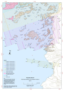
| 1736 | Draft - Rauer Group | 1 : 50 000 | ||
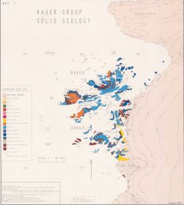
| 14239 | Draft - Rauer Group Solid Geology | 1992 | 1 : 50 000 |
 |
| 2031 | Draft - Vestfold Hills | 1997 | 1 : 25 000 | |
| 2032 | Draft - Vestfold Hills | 1997 | 1 : 25 000 | |
| 2033 | Draft - Vestfold Hills | 1997 | 1 : 25 000 | |
| 2034 | Draft - Vestfold Hills | 1997 | 1 : 25 000 | |
| 2035 | Draft - Vestfold Hills | 1997 | 1 : 25 000 | |
| 2036 | Draft - Vestfold Hills | 1997 | 1 : 25 000 | |
| 2037 | Draft - Vestfold Hills | 1997 | 1 : 25 000 | |
| 2038 | Draft - Vestfold Hills | 1997 | 1 : 25 000 | |
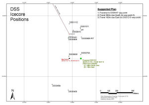
| 14543 | DSS Icecore Positions 2011/12 | 2012 | 1 : 5500 |
 |
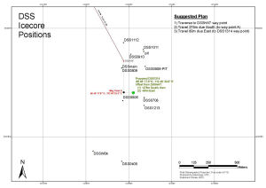
| 14544 | DSS Icecore Positions 2012/13 | 2013 | 1 : 5500 |
 |
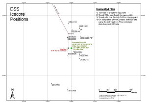
| 14545 | DSS Icecore Positions 2013/14 | 2013 | 1 : 5500 |
 |
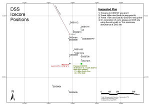
| 14546 | DSS Icecore Positions 2014/15 | 2014 | 1 : 5500 |
 |
| 14547 | DSS Icecore Positions 2015/16 | 2015 | 1 : 5500 |
 |
| 2991 | Edisto Glacier | 1959 | 1 : 50 000 |
 |
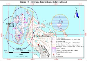
| 11374 | Figure 10 - Browning Peninsula and Peterson Island Helicopter Operations | 1999 | 1 : 75 000 |
 |
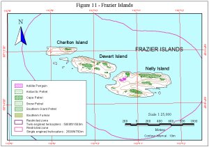
| 11375 | Figure 11 - Frazier Islands Helicopter Operations | 1999 | 1 : 25 000 |
 |
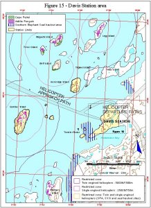
| 11379 | Figure 15 - Davis Station area Helicopter Operations | 1999 | 1 : 50 000 |
 |
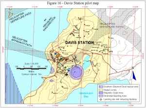
| 11380 | Figure 16 - Davis Station pilot map Helicopter Operations | 1999 | 1 : 10 000 |
 |
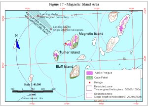
| 11381 | Figure 17 - Magnetic Island Area Helicopter Operations | 1999 | 1 : 40 000 |
 |
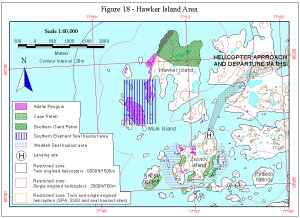
| 11382 | Figure 18 - Hawker Island Area Helicopter Operations | 1999 | 1 : 60 000 |
 |
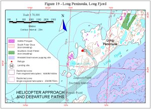
| 11383 | Figure 19 - Long Peninsula, Long Fjord Helicopter Operations | 1999 | 1 : 70 000 |
 |
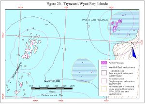
| 11384 | Figure 20 - Tryne and Wyatt Islands Helicopter Operations | 1999 | 1 : 60 000 |
 |
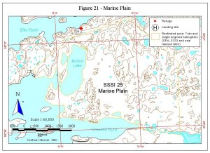
| 11385 | Figure 21 - Marine Plain Helicopter Operations | 1999 | 1 : 60 000 |
 |
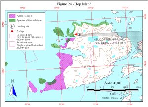
| 11388 | Figure 24 - Hop Island Helicopter Operations | 1999 | 1 : 40 000 |
 |
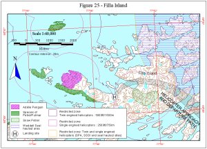
| 11389 | Figure 25 - Filla Island Helicopter Operations | 1999 | 1 : 60 000 |
 |
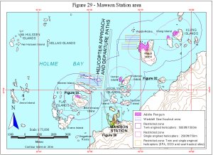
| 11393 | Figure 29 - Mawson Station area Helicopter Operations | 1999 | 1 : 75 000 |
 |
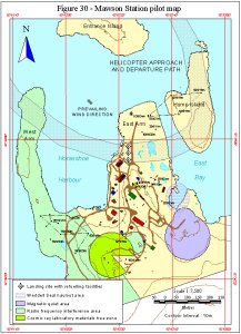
| 11394 | Figure 30 - Mawson Station pilot map Helicopter Operations | 1999 | 1 : 7500 |
 |
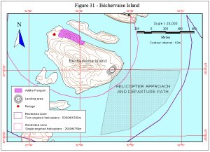
| 11395 | Figure 31 - B¿chervaise Island Helicopter Operations | 1999 | 1 : 20 000 |
 |
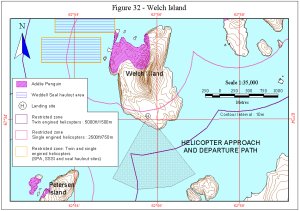
| 11396 | Figure 32 - Welch Island Helicopter Operations | 1999 | 1 : 35 000 |
 |
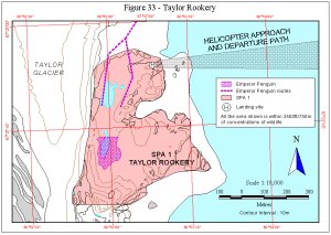
| 11397 | Figure 33 - Taylor Rookery Helicopter Operations | 1999 | 1 : 10 000 |
 |
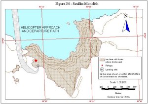
| 11398 | Figure 34 - Scullin Monolith Helicopter Operations | 1999 | 1 : 30 000 |
 |
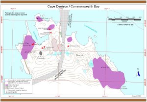
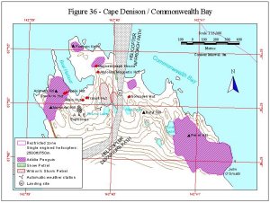
| 11400 | Figure 36 - Cape Denison / Commonwealth Bay Helicopter Operations | 1999 | 1 : 15 000 |
 |
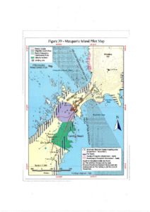
| 11525 | Figure 39 - Macquarie Island Pilot Map Helicopter Operations | 1999 | 1 : 7500 |
 |
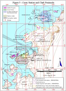
| 11369 | Figure 5 - Casey Station and Clark Peninsula Helicopter Operations | 1999 | 1 : 75 000 |
 |
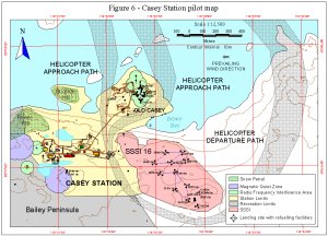
| 11370 | Figure 6 - Casey Station pilot map Helicopter Operations | 1999 | 1 : 12 500 |
 |
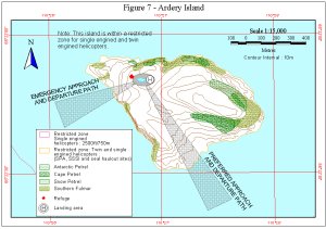
| 11371 | Figure 7 - Ardery Island Helicopter Operations | 1999 | 1 : 15 000 |
 |
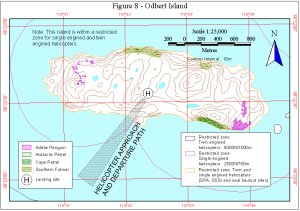
| 11372 | Figure 8 - Odbert Island Helicopter Operations | 1999 | 1 : 25 000 |
 |
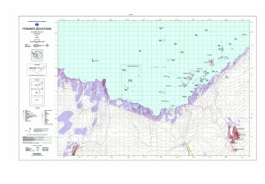
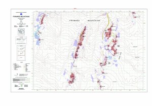
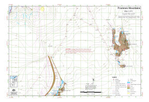
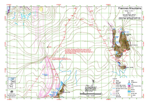
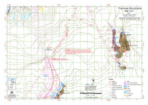
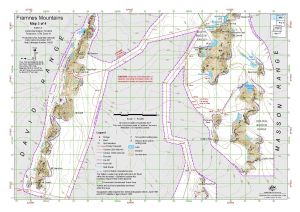
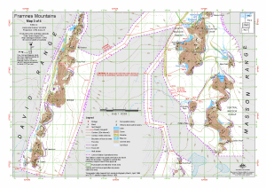
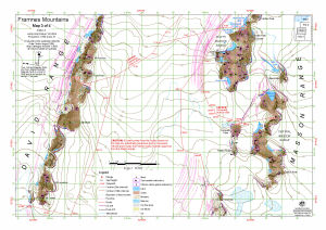
| 14623 | Framnes Mountains : Map 1 of 4 | 2017 | 1 : 50 000 |
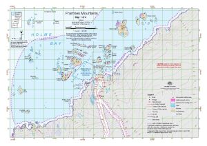 |
| 13940 | Framnes Mountains : Map 1 of 4 | 2011 | 1 : 50 000 |
 |
| 13657 | Framnes Mountains : Map 1 of 4 | 2009 | 1 : 50 000 |
 |
| 13490 | Framnes Mountains : Map 1 of 4 | 2008 | 1 : 50 000 |
 |
| 13182 | Framnes Mountains : Map 1 of 4 | 2005 | 1 : 50 000 |
 |
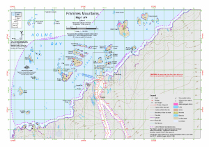
| 13183 | Framnes Mountains : Map 2 of 4 | 2005 | 1 : 50 000 |
 |
| 13491 | Framnes Mountains : Map 2 of 4 | 2008 | 1 : 50 000 |
 |
| 13658 | Framnes Mountains : Map 2 of 4 | 2009 | 1 : 50 000 |
 |
| 13941 | Framnes Mountains : Map 2 of 4 | 2011 | 1 : 50 000 |
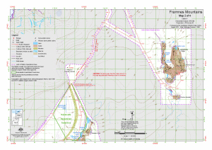 |
| 14624 | Framnes Mountains : Map 2 of 4 | 2017 | 1 : 50 000 |
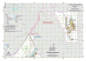 |
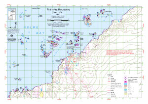
| 14625 | Framnes Mountains : Map 3 of 4 | 2017 | 1 : 50 000 |
 |
| 13942 | Framnes Mountains : Map 3 of 4 | 2011 | 1 : 50 000 |
 |
| 13659 | Framnes Mountains : Map 3 of 4 | 2009 | 1 : 50 000 |
 |
| 13492 | Framnes Mountains : Map 3 of 4 | 2008 | 1 : 50 000 |
 |
| 13184 | Framnes Mountains : Map 3 of 4 | 2005 | 1 : 50 000 |
 |
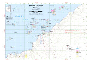
| 13185 | Framnes Mountains : Map 4 of 4 | 2005 | 1 : 50 000 |
 |
| 13493 | Framnes Mountains : Map 4 of 4 | 2008 | 1 : 50 000 |
 |
| 13660 | Framnes Mountains : Map 4 of 4 | 2009 | 1 : 50 000 |
 |
| 13943 | Framnes Mountains : Map 4 of 4 | 2011 | 1 : 50 000 |
 |
| 14626 | Framnes Mountains : Map 4 of 4 | 2017 | 1 : 50 000 |
 |
| 13191 | Framnes Mountains, MacRobertson Land, Antarctica. Sheet 1 | 2005 | 1 : 50 000 |
 |
| 13107 | Framnes Mountains, MacRobertson Land, Antarctica. Sheet 1 | 2004 | 1 : 50 000 |
 |
| 13108 | Framnes Mountains, MacRobertson Land, Antarctica. Sheet 2 | 2004 | 1 : 50 000 |
 |
| 13192 | Framnes Mountains, MacRobertson Land, Antarctica. Sheet 2 | 2005 | 1 : 50 000 |
 |
| 13193 | Framnes Mountains, MacRobertson Land, Antarctica. Sheet 3 | 2005 | 1 : 50 000 |
 |
| 13109 | Framnes Mountains, MacRobertson Land, Antarctica. Sheet 3 | 2004 | 1 : 50 000 |
 |
| 11207 | Frazier Islands | 1999 | 1 : 9000 |
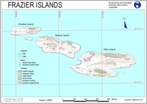 |
| 13884 | Frazier Islands (ASPA 160) (Helicopter Operations) | 2011 | 1 : 16 000 |
 |
| 12556 | Frazier Islands (Nelly, Dewart and Charlton) (Helicopter Operations) | 2000 | 1 : 16 000 |
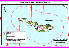 |
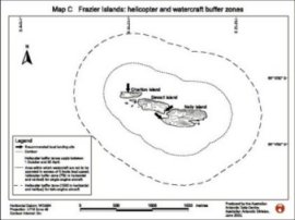
| 12934 | Frazier Islands : helicopter and watercraft buffer zones | 2002 | 1 : 22 000 |
 |
| 13936 | Frazier Islands Proposed Aerial Photography 2010-11 |
2011 | 1 : 10 000 |
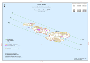 |
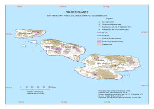
| 14128 | Frazier Islands Southern Giant Petrel Colonies Surveyed December 2011 |
2012 | 1 : 9000 |
 |
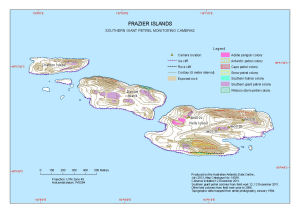
| 14039 | Frazier Islands Southern Giant Petrel Monitoring Cameras |
2012 | 1 : 9000 |
 |
| 5126 | Gaussberg Orthophoto Image of the Map | 1997 | 1 : 5000 | |
| 8206 | Geological chart of Mawson Base area | 1966 | 1 : 10 000 | |
| 8207 | Geological map of Komsomolskaja Hill | 1966 | 1 : 2000 | |
| 8204 | Geological map of Myrny Base area | 1966 | 1 : 20 000 | |
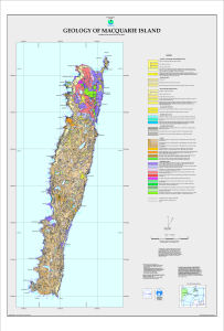
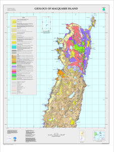
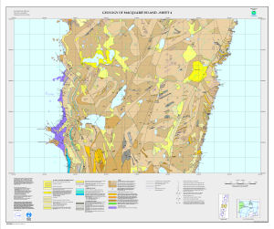
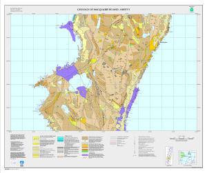
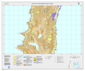
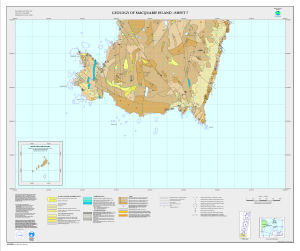
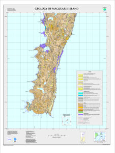
| 5122 | Geology of Macquarie Island | 1998 | 1 : 50 000 |
 |
| 5120 | Geology of Macquarie Island - North | 1998 | 1 : 25 000 |
 |
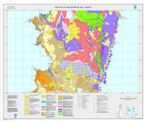
| 5113 | Geology of Macquarie Island - Sheet 1 | 1998 | 1 : 10 000 |
 |
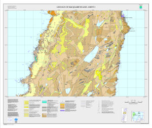
| 5114 | Geology of Macquarie Island - Sheet 2 | 1998 | 1 : 10 000 |
 |
| 5115 | Geology of Macquarie Island - Sheet 3 | 1998 | 1 : 10 000 |
 |
| 5116 | Geology of Macquarie Island - Sheet 4 | 1998 | 1 : 10 000 |
 |
| 5117 | Geology of Macquarie Island - Sheet 5 | 1998 | 1 : 10 000 |
 |
| 5118 | Geology of Macquarie Island - Sheet 6 | 1998 | 1 : 10 000 |
 |
| 5119 | Geology of Macquarie Island - Sheet 7 | 1998 | 1 : 10 000 |
 |
| 5121 | Geology of Macquarie Island - South | 1998 | 1 : 25 000 |
 |
| 13379 | Geology of the Larsemann Hills | 2007 | 1 : 25 000 |
 |
| 5137 | Geology of the Larsemann Hills Lithology |
1997 | 1 : 25 000 |
 |
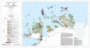
| 12717 | Geology of the Northern Vestfold Hills, East Antarctica | 2001 | 1 : 30 000 |
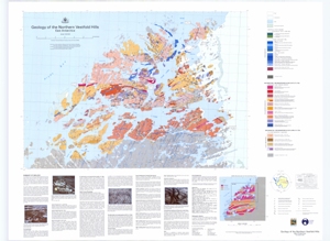 |
| 13521 | Geology of the Stillwell Hills | 2012 | 1 : 25 000 |
 |
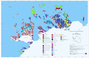
| 12748 | Geology of the Windmill Islands - Lithology | 1997 | 1 : 50 000 |
 |
| 13990 | Gibbney Island to Kista Strait | 2011 | 1 : 25 000 |
 |
| 13172 | Giganteus Island : Topography and Southern Giant-petrel and penguin distribution. Map C : Antarctic Specially Protected Area 102 : Rookery Island, Mawson Coast | 2006 | 1 : 3000 |
 |
| 12975 | GPS buoy deployment at Macquarie Island March 2003 | 2003 | 1 : 11 300 |
 |
| 2987 | Grace Rocks | 1959 | 1 : 50 000 |
 |
| 8203 | Gravity anomalies (Free air) of Myrny Base area | 1966 | 1 : 50 000 | |
| 12563 | Hawker Island Area Helicopter Operations) | 2000 | 1 : 30 000 |
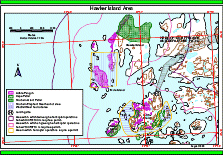 |
| 13891 | Hawker Island Area (Helicopter Operations) | 2011 | 1 : 37 000 |
 |
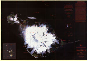
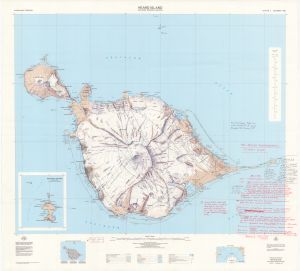
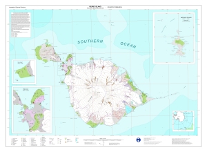
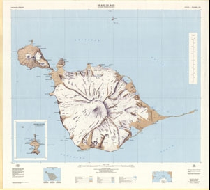
| 5169 | Heard Island | 1949 | 1 : 83 000 |
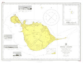 |
| 1522 | Heard Island | 1 : 80 467 | ||
| 1526 | Heard Island | 1964 | 1 : 75 000 | |
| 892 | Heard Island | 1986 | 1 : 50 000 | |
| 884 | Heard Island | 1 : 50 000 | ||
| 280 | Heard Island | 1968 | 1 : 83 000 | |
| 291 | Heard Island | 1968 | 1 : 83 000 | |
| 27 | Heard Island | 1964 | 1 : 50 000 |
 |
| 28 | Heard Island | 1977 | 1 : 50 000 |
 |
| 13029 | Heard Island - East : satellite image map | 2003 | 1 : 20 000 |
 |
| 13275 | Heard Island - East : satellite image map Heard Island January 2006 |
2006 | 1 : 20 000 |
 |
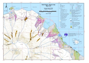
| 13013 | Heard Island - Science Map 1 of 5 | 2003 | 1 : 50 000 |
 |
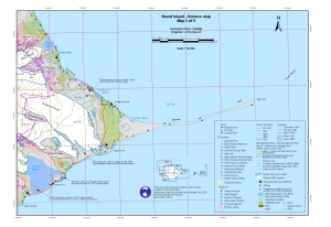
| 13014 | Heard Island - Science Map 2 of 5 | 2003 | 1 : 50 000 |
 |
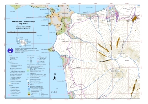
| 13015 | Heard Island - Science Map 3 of 5 | 2003 | 1 : 50 000 |
 |
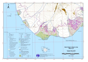
| 13016 | Heard Island - Science Map 4 of 5 | 2003 | 1 : 50 000 |
 |
| 13017 | Heard Island - Science Map 5 of 5 | 2003 | 1 : 50 000 |
 |
| 31 | Heard Island & McDonald Islands | 1991 | 1 : 50 000 |
 |
| 13412 | Heard Island 1951 : distribution of birds | 1959 | 1 : 90 000 | |
| 5160 | Heard Island 1986 Aerial Photography Flight Plan | 1987 | 1 : 50 000 |
 |
| 12817 | Heard Island and McDonald Islands / Scientific Research | 2002 | 1 : 50 000 |
 |
| 29 | Heard Island including McDonald Islands | 1985 | 1 : 50 000 |
 |
| 12204 | Heard Island including McDonald Islands | 2000 | 1 : 50 000 |
 |
| 12202 | Heard Island Interim Operations Map, Including McDonald Islands | 1998 | 1 : 50 000 |
 |
| 12128 | Heard Island Map 1 of 5 | 1999 | 1 : 50 000 |
 |
| 12680 | Heard Island Map 1 of 5 | 2000 | 1 : 50 000 |
 |
| 12681 | Heard Island Map 2 of 5 | 2000 | 1 : 50 000 |
 |
| 12129 | Heard Island Map 2 of 5 | 1999 | 1 : 50 000 |
 |
| 12130 | Heard Island Map 3 of 5 | 1999 | 1 : 50 000 |
 |
| 12682 | Heard Island Map 3 of 5 | 2000 | 1 : 50 000 |
 |
| 12683 | Heard Island Map 4 of 5 | 2000 | 1 : 50 000 |
 |
| 12131 | Heard Island Map 4 of 5 | 1999 | 1 : 50 000 |
 |
| 12132 | Heard Island Map 5 of 5 | 1999 | 1 : 50 000 |
 |
| 12684 | Heard Island Map 5 of 5 | 2000 | 1 : 50 000 |
 |
| 274 | Heard Island Survey from 1948 ANARE | 1949 | 1 : 83 000 |
 |
| 885 | Heard Island, Atlas Cove Camp on ground | 1 : 50 000 | ||
| 14520 | Heard Island, GeoEye satellite imagery - 2 February 2012, Map 1 of 5 | 2016 | 1 : 50 000 |
 |
| 14521 | Heard Island, GeoEye satellite imagery - 2 February 2012, Map 2 of 5 | 2016 | 1 : 50 000 |
 |
| 14522 | Heard Island, GeoEye satellite imagery - 2 February 2012, Map 3 of 5 | 2016 | 1 : 50 000 |
 |
| 14523 | Heard Island, GeoEye satellite imagery - 2 February 2012, Map 4 of 5 | 2016 | 1 : 50 000 |
 |
| 14524 | Heard Island, GeoEye satellite imagery - 2 February 2012, Map 5 of 5 | 2016 | 1 : 50 000 |
 |
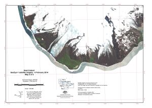
| 14525 | Heard Island, GeoEye satellite imagery - 6 February 2014, Map 1 of 5 | 2016 | 1 : 50 000 |
 |
| 14526 | Heard Island, GeoEye satellite imagery - 6 February 2014, Map 2 of 5 | 2016 | 1 : 50 000 |
 |
| 14527 | Heard Island, GeoEye satellite imagery - 6 February 2014, Map 3 of 5 | 2016 | 1 : 50 000 |
 |
| 14528 | Heard Island, GeoEye satellite imagery - 6 February 2014, Map 4 of 5 | 2016 | 1 : 50 000 |
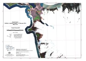 |
| 14529 | Heard Island, GeoEye satellite imagery - 6 February 2014, Map 5 of 5 | 2016 | 1 : 50 000 |
 |
| 13730 | Heidemann Valley and Davis: Proposed Scanning 2009-10 | 2009 | 1 : 15 000 |
 |
| 13729 | Heidemann Valley and Davis: Proposed Scanning and Aerial Photography 2009-10 | 2009 | 1 : 15 000 |
 |
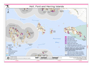
| 12554 | Holl, Ford and Herring Islands (Helicopter Operations) | 2000 | 1 : c55 000 |
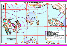 |
| 13882 | Holl, Ford and Herring Islands (Helicopter Operations) | 2011 | 1 : 55 000 |
 |
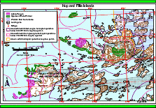
| 13897 | Hop and Filla Islands (Helicopter Operations) | 2011 | 1 : 47 000 |
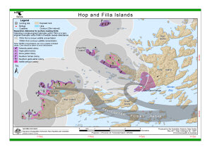 |
| 12569 | Hop and Filla Islands (Helicopter Operations) | 2000 | 1 : 47 000 |
 |
| 2102 | Iles Kerguelen / Port-aux-Francais | 1 : 5000 | ||
| 2970 | Indian Ocean, Antarctic Coast, Davis Sea. Mirny Road | 1958 | 1 : 10 000 |
 |
| 5381 | Indian Ocean: Antarctic Coast: Mirny Roadstead | 1958 | 1 : 10 000 | |
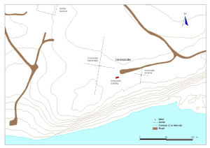
| 13205 | Ionosonde at Davis Station, Antarctica | 2005 | 1 : 1400 |
 |
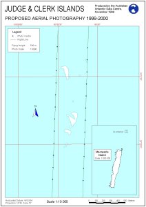
| 11506 | Judge and Clerk Islands proposed aerial photography 1999-2000 | 1999 | 1 : 10 000 |
 |
| 5202 | Kerguelen Archipelago | 1946 | 1 : 15 000 | |
| 5219 | Kerguelen Archipelago / Environs of Port-aux-Francais | 1963 | 1 : 10 000 | |
| 5203 | Kerguelen Archipelago / Morbihan Bay | 1961 | 1 : 30 000 | |
| 5225 | Kerguelen Archipelago / Reconnaissance Map of the presqu'ile Ronarc'h | 1964 | 1 : 50 000 | |
| 5218 | Kerguelen Archipelago / West sheet | 1969 | 1 : 5000 | |
| 5249 | Kerguelen Archipelago East Sheet | 1969 | 1 : 5000 | |
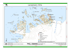
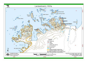
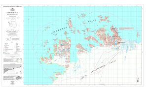
| 2070 | Larsemann Hills | 1993 | 1 : 10 000 |
 |
| 5129 | Larsemann Hills | 1987 | 1 : 50 000 | |
| 14089 | Larsemann Hills | 2005 | 1 : 20 000 | |
| 13898 | Larsemann Hills (Helicopter Operations) | 2011 | 1 : 95 000 |
 |
| 14300 | Larsemann Hills (Helicopter Operations) | 2014 | 1 : 95 000 |
 |
| 12570 | Larsemann Hills (Helicopter Operations) | 2000 | 1 : 94 000 |
 |
| 15 | Larsemann Hills / Princess Elizabeth Land | 1991 | 1 : 25 000 |
 |
| 13130 | Larsemann Hills : environmental management map | 2005 | 1 : 25 000 |
 |
| 14557 | Larsemann Hills Aerial Photography 31 January 1987 |
1987 | 1 : 25 000 |
 |
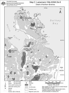
| 13261 | Larsemann Hills Antarctic Specially Managed Area [No. 6], Ingrid Christensen Coast, Princess Elizabeth Land, East Antarctica. Map C: Detail of Northern Broknes |
2007 | 1 : 18 200 |
 |
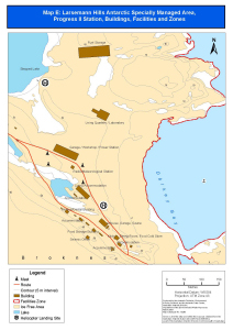
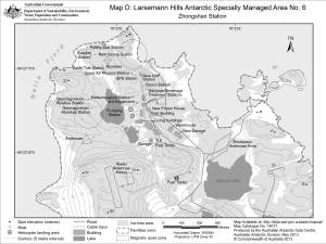
| 13262 | Larsemann Hills Antarctic Specially Managed Area [No. 6] Map D: Zhongshan Station, Buildings, Facilities and Zones |
2007 | 1 : 5000 |
 |
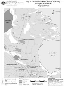
| 13263 | Larsemann Hills Antarctic Specially Managed Area [No.6] Map E: Progress II Station, Buildings, Facilities and Zones |
2007 | 1 : 3200 |
 |
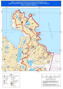
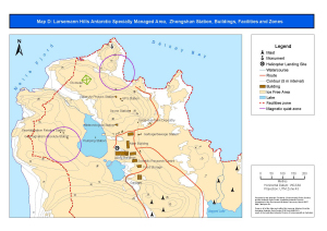
| 14077 | Larsemann Hills Antarctic Specially Managed Area No.6 Map D: Zhongshan Station. |
2013 | 1 : 9000 |
 |
| 14205 | Larsemann Hills Antarctic Specially Managed Area No.6 Map E: Progress Station |
2013 | 1 : 4700 |
 |
| 14076 | Larsemann Hills ASMA No.6 Map C: Detail of Northern Broknes |
2013 | 1 : 25 000 |
 |
| 13706 | Larsemann Hills mapping project : photo control | 2001 | 1 : 50 000 | |
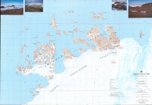
| 14102 | Larsemann Hills orthophoto | 2006 | 1 : 12 000 | |
| 14101 | Larsemann Hills satellite image map | 2006 | 1 : 12 000 | |
| 5136 | Larsemann Hills Survey Control | 1998 | 1 : 25 000 |
 |
| 16 | Larsemann Hills, Princess Elizabeth Land | 1990 | 1 : 25 000 |
 |
| 14241 | Larsemann Hills, Princess Elizabeth Land, Satellite Image Map | 2015 | 1 : 25 000 |
 |
| 14044 | Late Archaean - early Proterozoic high-grade structural relations in the vestfold Hills , East Antarctica | 1 : 21 000 | ||
| 13030 | Laurens Peninsula : satellite image map, Heard Island | 2003 | 1 : 12 500 |
 |
| 13867 | Lichen Island Proposed Aerial Photography of Penguin Colonies 2010-11 |
2010 | 1 : 40 000 |
 |
| 11107 | Locality map for the Fang Peak refuge, Framnes Mountains | 1999 | 1 : 5000 |
 |
| 11108 | Locality map for the Mt Henderson refuge, Framnes Mountains | 1999 | 1 : 5000 |
 |
| 11109 | Locality map for the Rumdoodle refuge, Framnes Mountains | 1999 | 1 : 5000 |
 |
| 13102 | Long Beach, Heard Island | 2004 | 1 : 29 250 |
 |
| 13892 | Long Peninsula and Long Fjord (Helicopter Operations) | 2011 | 1 : 43 500 |
 |
| 12564 | Long Peninsula, Long Fjord (Helicopter Operations) | 2000 | 1 : 42 800 |
 |
| 13229 | Low level aerial photography over Wilkes, March 2003 | 2006 | 1 : 8000 |
 |
| 42 | Macquarie Island | 1971 | 1 : 50 000 |
 |
| 1648 | Macquarie Island | 1963 | 1 : 50 000 | |
| 1668 | Macquarie Island | 1 : 53 645 | ||
| 1672 | Macquarie Island | 1970 | 1 : 50 000 |
 |
| 3669 | Macquarie Island | 1991 | 1 : 50 000 | |
| 3670 | Macquarie Island | 1995 | 1 : 50 000 | |
| 14081 | Macquarie Island | 1943 | 1 : 75 400 |
 |
| 14134 | Macquarie Island - Central | 1994 | 1 : 25 000 |
 |
| 13248 | Macquarie Island - Location of Levelling to Buildings | 2001 | 1 : 1460 |
 |
| 14133 | Macquarie Island - North | 1994 | 1 : 25 000 |
 |
| 14135 | Macquarie Island - South | 1994 | 1 : 25 000 |
 |
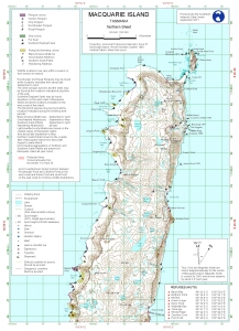
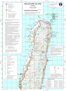
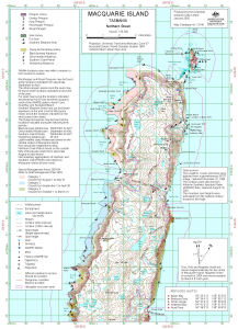
| 14446 | Macquarie Island (Northern Sheet) | 2015 | 1 : 50 000 |
 |
| 13539 | Macquarie Island (Northern Sheet) | 2012 | 1 : 50 000 |
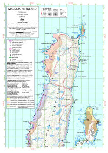 |
| 13061 | Macquarie Island (Northern Sheet) | 2004 | 1 : 50 000 |
 |
| 12744 | Macquarie Island (Northern Sheet) | 2001 | 1 : 50 000 |
 |
| 12756 | Macquarie Island (Northern Sheet) | 2002 | 1 : 50 000 |
 |
| 12885 | Macquarie Island (Northern Sheet) | 2002 | 1 : 50 000 |
 |
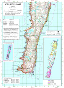
| 12886 | Macquarie Island (Southern Sheet) | 2002 | 1 : 50 000 |
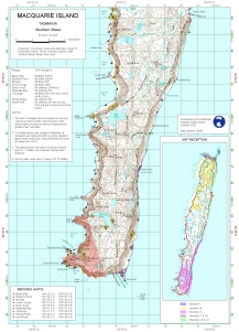 |
| 12757 | Macquarie Island (Southern Sheet) | 2002 | 1 : 50 000 |
 |
| 12745 | Macquarie Island (Southern Sheet) | 2001 | 1 : 50 000 |
 |
| 13062 | Macquarie Island (Southern Sheet) | 2004 | 1 : 50 000 |
 |
| 13540 | Macquarie Island (Southern Sheet) | 2012 | 1 : 50 000 |
 |
| 14447 | Macquarie Island (Southern Sheet) | 2015 | 1 : 50 000 |
 |
| 14224 | Macquarie Island (with inset of North End of Macquarie Island) | 1967 | 1 : 63 360 |
 |
| 1626 | Macquarie Island (with inset of northern portion) | 1968 | 1 : 50 000 |
 |
| 14225 | Macquarie Island (with northern portion inset) | 1968 | 1 : 50 000 |
 |
| 12585 | Macquarie Island approach paths (Helicopter Operations) | 2000 | 1 : c5300 |
 |
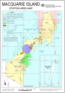
| 13056 | Macquarie Island Buildings and Structures | 2004 | 1 : 2500 |
 |
| 13444 | Macquarie Island Buildings and Structures | 2008 | 1 : 2500 |
 |
| 12444 | Macquarie Island Buildings and Structures | 2000 | 1 : 2500 |
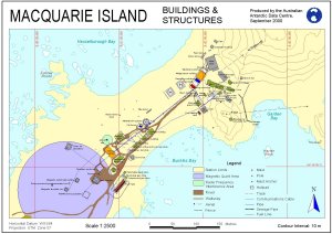 |
| 10085 | Macquarie Island Buildings and Structures | 1999 | 1 : 2500 |
 |
| 10446 | Macquarie Island Buildings and Structures | 1998 | 1 : 2000 |
 |
| 14498 | Macquarie Island Developmental Plan | 1965 | 1 : 300 |
 |
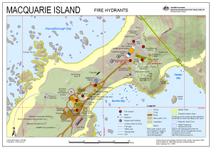
| 12400 | Macquarie Island Fire Hydrants | 2000 | 1 : 2600 |
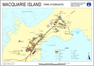 |
| 13565 | Macquarie Island Fire Hydrants (Superceded) | 2008 | 1 : 1700 |
 |
| 13145 | Macquarie Island Helicopter Exclusion Zone (Northern Sheet) | 2005 | 1 : 50 000 |
 |
| 13146 | Macquarie Island Helicopter Exclusion Zone (Southern Sheet) | 2005 | 1 : 50 000 |
 |
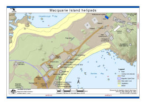
| 14470 | Macquarie Island helipads | 2015 | 1 : 1500 |
 |
| 12052 | Macquarie Island Map 1 of 4 | 2000 | 1 : 50 000 |
 |
| 12053 | Macquarie Island Map 2 of 4 | 2000 | 1 : 50 000 |
 |
| 12061 | Macquarie Island Map 3 of 4 | 2000 | 1 : 50 000 |
 |
| 12080 | Macquarie Island Map 4 of 4 | 2000 | 1 : 50 000 |
 |
| 427 | Macquarie Island Plotsheet (Sheet 1 of 2) | 1982 | 1 : 50 000 |
 |
| 425 | Macquarie Island Plotsheet (Sheet 2 of 2) | 1982 | 1 : 50 000 |
 |
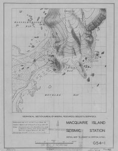
| 14222 | Macquarie Island Seismic Station | 1949 | 1 : 950 |
 |
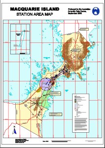
| 12445 | Macquarie Island Station Area Map | 2000 | 1 : 7500 |
 |
| 10105 | Macquarie Island Station Area Map | 1999 | 1 : 7500 |
 |
| 11113 | Macquarie Island Station Area Map | 1999 | 1 : 2000 |
 |
| 13055 | Macquarie Island Station Area Map | 2004 | 1 : 7500 |
 |
| 12710 | Macquarie Island Station Area Map | 2000 | 1 : 2000 |
 |
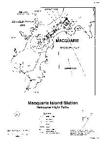
| 12324 | Macquarie Island Station Helicopter Flight Paths | 1996 | 1 : 5300 |
 |
| 14559 | Macquarie Island Station Layout | 1970 | 1 : c200 |
 |
| 13445 | Macquarie Island Station Limits Map | 2008 | 1 : 7090 |
 |
| 11485 | Macquarie Island Station proposed aerial photography 1999-2000 | 1999 | 1 : 18 000 |
 |
| 11425 | Macquarie Island survey and photo control and proposed aerial photography (all heights) 1999-2000 | 1999 | 1 : 50 000 |
 |
| 11426 | Macquarie Island survey and photo control and proposed aerial photography (height 1000 m) 1999-2000, | 1999 | 1 : 50 000 |
 |
| 11427 | Macquarie Island survey and photo control and proposed aerial photography (height 1500 m) 1999-2000 | 1999 | 1 : 50 000 |
 |
| 11428 | Macquarie Island survey and photo control and proposed aerial photography (height 2000 m) 1999-2000 | 1999 | 1 : 50 000 |
 |
| 11445 | Macquarie Island survey and photo control and proposed aerial photography (height 2500 m) 1999-2000 | 1999 | 1 : 50 000 |
 |
| 11465 | Macquarie Island survey and photo control and proposed aerial photography (height 3000 m) 1999-2000 | 1999 | 1 : 50 000 |
 |
| 13106 | Macquarie Island vegetation | 2004 | 1 : 89 000 |
 |
| 12916 | Macquarie Island Vegetation, Structure & Drainage - Northern Sheet | 2001 | 1 : 25 000 |
 |
| 5123 | Macquarie Island Vegetation, Structure & Drainage - Northern Sheet | 1998 | 1 : 25 000 |
 |
| 5124 | Macquarie Island Vegetation, Structure & Drainage - South | 1998 | 1 : 25 000 |
 |
| 12917 | Macquarie Island Vegetation, Structure & Drainage - South | 2001 | 1 : 25 000 |
 |
| 14336 | Macquarie Island, North Distribution of Structural Lineaments and Interpretations of Apparent Evidence of Glaciation |
1984 | 1 : c67 800 | |
| 14337 | Macquarie Island, South Distribution of Structural Lineaments and Interpretations of Apparent Evidence of Glaciation |
1984 | 1 : c67 800 | |
| 12884 | Macquarie Island, Tasmania | 2002 | 1 : 50 000 |
 |
| 12758 | Macquarie Island, Tasmania | 2002 | 1 : 50 000 |
 |
| 12707 | Macquarie Island, Tasmania | 2001 | 1 : 50 000 |
 |
| 12541 | Macquarie Island, Tasmania | 2000 | 1 : 50 000 |
 |
| 43 | Macquarie Island, Tasmania Interim Image Map |
1991 | 1 : 50 000 |
 |
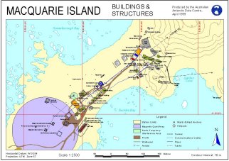
| 14331 | Macquarie Island: Buildings and Structures | 2014 | 1 : 2500 |
 |
| 14333 | Macquarie Island: Station Limits | 2014 | 1 : 7090 |
 |
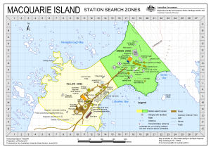
| 14455 | Macquarie Island: Station Search Zones | 2015 | 1 : 3000 |
 |
| 14158 | Macquarie Island: Station Search Zones | 2012 | 1 : 3000 |
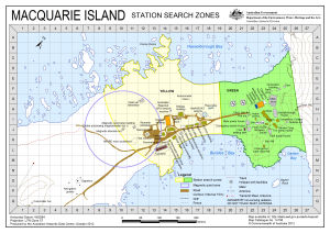 |
| 13804 | Macquarie Island: Station Search Zones | 2010 | 1 : 3000 |
 |
| 14083 | Macquarie Island Map annotated with locations of giant petrel rookeries January, February 1961 |
1 : 32 180 |
 |
|
| 14334 | Macquarie Island North Raised Terraces and Cobble Beach Deposits |
1984 | 1 : c67 800 | |
| 14335 | Macquarie Island South Raised Terraces and Cobble Beach Deposits |
1984 | 1 : c67 800 | |
| 12562 | Magnetic, Turner and Bluff Islands (Helicopter Operations) | 2000 | 1 : 26 600 |
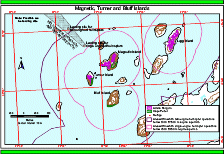 |
| 13890 | Magnetic, Turner and Bluff Islands (Helicopter Operations) | 2011 | 1 : 26 600 |
 |
| 11145 | Main flow directions Casey Area |
1998 | 1 : 6000 |
 |
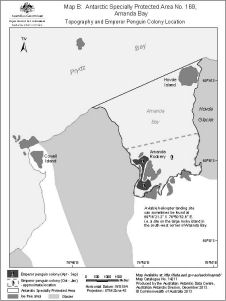
| 13517 | Map B : Amanda Bay, Antarctic Specially Protected Area No. 169 Ingrid Christensen Coast, Princess Elizabeth Land, East Antarctica. Location of Emperor Penguin Colony and Physical Features. | 2008 | 1 : 50 000 |
 |
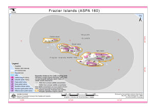
| 14198 | Map B : Antarctic Specially Protected Area No. 160, Frazier Islands Topography and bird distribution |
2013 | 1 : 12 570 |
 |
| 13519 | Map B Frazier Islands, Antarctic Specially Protected Area No. 160, distribution of nesting seabirds | 2008 | 1 : 8450 |
 |
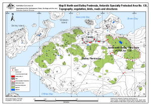
| 14180 | Map B: Antarctic Specially Protected Area No. 135, North-east Bailey Peninsula, Topography and Bird Distribution | 2012 | 1 : 6000 |
 |
| 14211 | Map B: Antarctic Specially Protected Area No. 169 , Amanda Bay Topography and Emperor Penguin Colony Location |
2013 | 1 : 70 000 |
 |
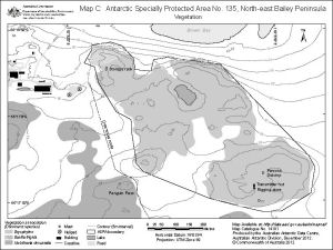
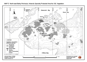
| 14181 | Map C: Antarctic Specially Protected Area No. 135, North-east Bailey Peninsula, Vegetation | 2012 | 1 : 6000 |
 |
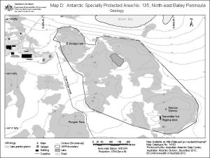
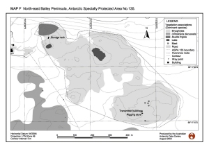
| 14182 | Map D: Antarctic Specially Protected Area No. 135, North-east Bailey Peninsula, Geology | 2012 | 1 : 6000 |
 |
| 14183 | Map E: Antarctic Specially Protected Area No. 135, North-east Bailey Peninsula, Long term scientific monitoring sites | 2012 | 1 : 2000 |
 |
| 13894 | Marine Plain (ASPA 143) (Helicopter Operations) | 2011 | 1 : 37 500 |
 |
| 12566 | Marine Plain (SSSI 25) (Helicopter Operations) | 2000 | 1 : 37 500 |
 |
| 13048 | Marine Plain : Satellite image map, Vestfold Hills | 2003 | 1 : 20 000 |
 |
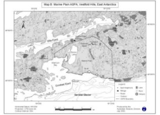
| 12968 | Marine Plain ASPA 143, Vestfold Hills, East Antarctica. Map B | 2002 | 1 : 85 100 |
 |
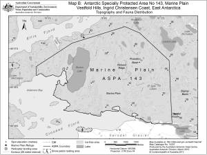
| 14207 | Marine Plain, Vestfold Hills, Ingrid Christensen Coast, East Antarctica Antarctic Specially Protected Area No 143 Map B: Topography and Fauna Distribution |
2013 | 1 : 50 000 |
 |
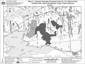
| 14208 | Marine Plain, Vestfold Hills, Ingrid Christensen Coast, East Antarctica Antarctic Specially Protected Area No 143 Map C: Geology |
2013 | 1 : 50 000 |
 |
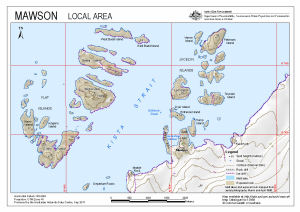
| 13988 | Mawson : Local Area | 2011 | 1 : 27 000 |
 |
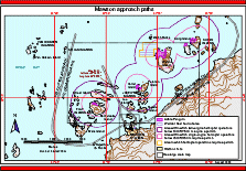
| 12575 | Mawson approach paths (Helicopter Operations) | 2000 | 1 : 62 500 |
 |
| 13773 | Mawson Data, Mawson Antarctica Sheet 2 of 2 | 1996 | 1 : 1000 |
 |
| 13772 | Mawson Data, Mawson Antarctica Sheet 1 of 2 | 1996 | 1 : 1000 |
 |
| 13903 | Mawson final helicopter approach (Helicopter Operations) | 2011 | 1 : 5600 |
 |
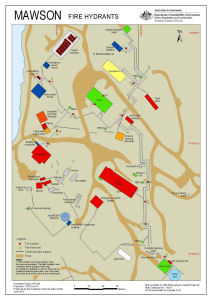
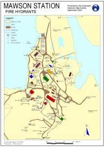
| 14218 | Mawson Fire Hydrants (Superceded) | 2013 | 1 : 1000 |
 |
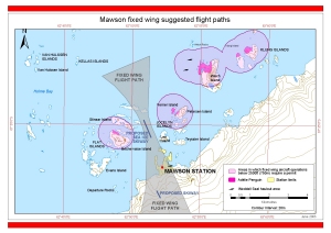
| 14308 | Mawson fixed wing suggested flight paths | 2014 | 1 : 70 000 |
 |
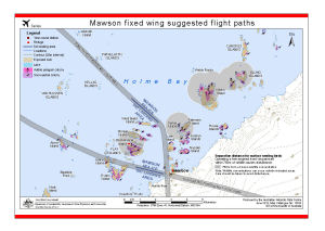
| 13932 | Mawson fixed wing suggested flight paths | 2012 | 1 : 70 000 |
 |
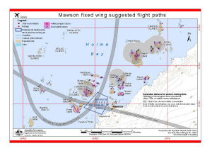
| 13027 | Mawson fixed wing suggested flight paths | 2003 | 1 : 58 000 |
 |
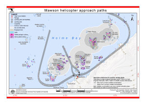
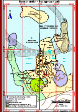
| 13902 | Mawson helicopter approach paths (Helicopter Operations) | 2011 | 1 : 70 000 |
 |
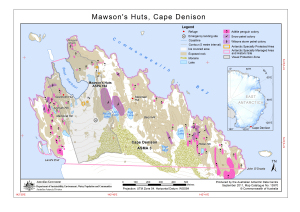
| 13970 | Mawson' Huts, Cape Denison | 2011 | 1 : 8000 |
 |
| 5155 | Mawson Local Area Map | 1992 | 1 : 10 000 |
 |
| 5156 | Mawson Local Area Map | 1994 | 1 : 10 000 |
 |
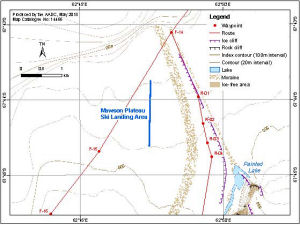
| 14466 | Mawson Plateau Ski Landing Area | 2015 | 1 : 50 000 |
 |
| 910 | Mawson Rock [Horseshoe Habour] | 1957 | 1 : c2400 | |
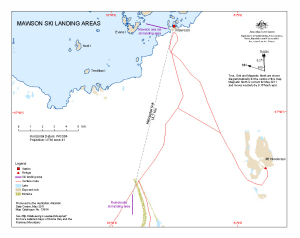
| 13954 | Mawson Ski Landing Areas | 2011 | 1 : 95 000 |
 |
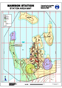
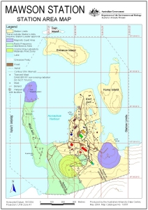
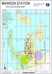
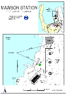
| 1597 | Mawson Station | 1980 | 1 : 1000 |
 |
| 12576 | Mawson station - final approach path (Helicopter Operations) | 2000 | 1 : 5700 |
 |
| 12925 | Mawson Station Area : Orthophoto map | 2003 | 1 : 1500 |
 |
| 12711 | Mawson Station Area Map | 2000 | 1 : 1500 |
 |
| 13057 | Mawson Station Area Map | 2004 | 1 : 6500 |
 |
| 11111 | Mawson Station Area Map | 1999 | 1 : 1500 |
 |
| 10165 | Mawson Station Area Map | 1999 | 1 : 6500 |
 |
| 12261 | Mawson Station Area Map | 1998 | 1 : 6500 |
 |
| 12443 | Mawson Station Area Map | 2000 | 1 : 6500 |
 |
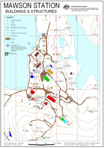
| 12442 | Mawson Station Buildings and Structures | 2000 | 1 : 3000 |
 |
| 12243 | Mawson Station Buildings and Structures | 1998 | 1 : 3000 |
 |
| 10166 | Mawson Station Buildings and Structures | 1999 | 1 : 3000 |
 |
| 10447 | Mawson Station Buildings and Structures | 1998 | 1 : 2500 |
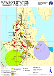 |
| 13058 | Mawson Station Buildings and Structures | 2004 | 1 : 3000 |
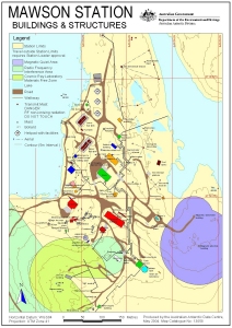 |
| 13247 | Mawson Station Buildings and Structures: without Management Zones | 2006 | 1 : 3000 |
 |
| 12422 | Mawson Station Fire Hydrants | 2000 | 1 : 3125 |
 |
| 10326 | Mawson Station Helicopter Access | 1998 | 1 : 45 000 |
 |
| 12323 | Mawson Station Helicopter Flight Paths | 1996 | 1 : 5000 |
 |
| 13132 | Mawson Station local area map | 1992 | 1 : 10 000 |
 |
| 13133 | Mawson Station Local Area Map | 1994 | 1 : 25 000 |
 |
| 12300 | Mawson Station Tide Gauge Location | 1997 | 1 : c950 |
 |
| 12262 | Mawson Station Tide Gauge Locations | 2000 | 1 : 1000 |
 |
| 12700 | Mawson Station, Mawson Data, Antarctica | 1996 | 1 : 1000 |
 |
| 13389 | Mawson Station: Buildings and Structures | 2007 | 1 : 3000 |
 |
| 13391 | Mawson Station: Recreation Limits | 2007 | 1 : 11 500 |
 |
| 13390 | Mawson Station: Station Limits | 2007 | 1 : 5500 |
 |
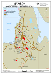
| 13712 | Mawson: Asbestos presence in buildings | 2009 | 1 : 2119 |
 |
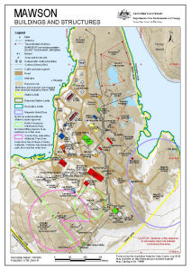
| 14456 | Mawson: Buildings and Structures | 2016 | 1 : 3000 |
 |
| 14490 | Mawson: Critical safety map for non-English speaking visitors | 2015 | 1 : c2400 |
 |
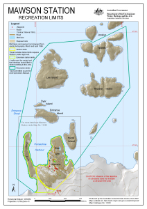
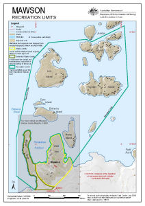
| 14510 | Mawson: Recreation Limits | 2016 | 1 : 11 500 |
 |
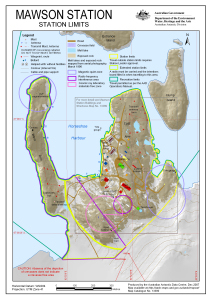
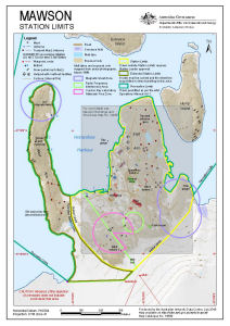
| 14509 | Mawson: Station Limits | 2016 | 1 : 5500 |
 |
| 13792 | Mawson: Station Search Zones | 2010 | 1 : 3000 |
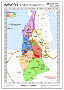 |
| 13522 | Mawson: Station Search Zones | 2008 | 1 : 3000 |
 |
| 14263 | Mawson: Tide Gauge Location | 2013 | 1 : 1000 |
 |
| 13639 | Mawson: Tide Gauge Locations | 2009 | 1 : 1000 |
 |
| 13971 | Mawson's Huts, Cape Denison, Visual Protection Zone | 2011 | 1 : 4500 |
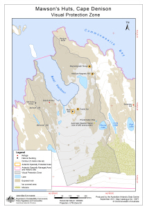 |
| 14251 | Mawson's Huts, Cape Denison Map A |
2013 | 1 : 10 000 |
 |
| 13177 | McDonald Islands | 2005 | 1 : 39 693 |
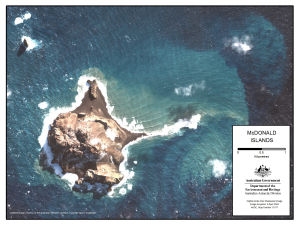 |
| 13038 | McDonald Islands : satellite image map | 2004 | 1 : 7500 |
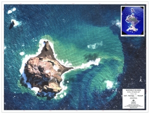 |
| 13159 | McDonald Islands Satellite Image Map | 2005 | 1 : 7500 |
 |
| 14506 | McDonald Islands Satellite Image Map | 2012 | 1 : 38 000 |
 |
| 13204 | MFSA radar at Davis Station, Antarctica | 2005 | 1 : 1400 |
 |
| 2969 | Mirny Road | 1956 | 1 : 17 500 |
 |
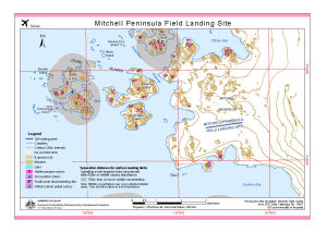
| 14277 | Mitchell Peninsula Field Landing Site | 2014 | 1 : 45 000 |
 |
| 13858 | Mitchell Peninsula Field Landing Site | 2010 | 1 : 45 000 |
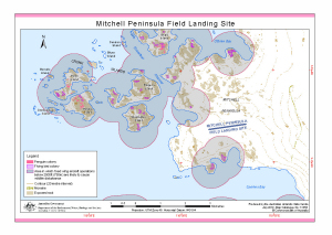 |
| 14027 | Mitchell Peninsula Field Landing Site | 2012 | 1 : 45 000 |
 |
| 12124 | Murray Monolith | 2000 | 1 : 30 000 |
 |
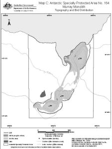
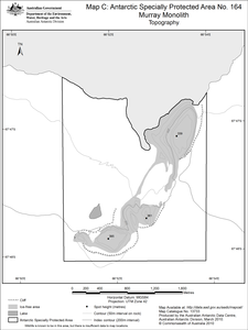
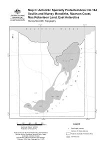
| 13733 | Murray Monolith Antarctic Specially Protected Area No. 164 Map C: Topography |
2010 | 1 : 24 000 |
 |
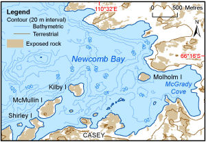
| 14109 | Newcomb Bay | 2012 | 1 : 47 000 |
 |
| 12940 | North-east Bailey Peninsula, Antarctic Specially Protected Area No. 135 | 2002 | 1 : 4000 |
 |
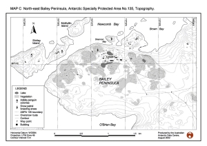
| 13512 | North-east Bailey Peninsula, Antarctic Specially Protected Area No. 135 : Topography, vegetation, birds, roads and structures (Map B) | 2008 | 1 : 12 000 |
 |
| 12937 | North-east Bailey Peninsula, Antarctic Specially Protected Area No. 135, Topography | 2002 | 1 : 15 400 |
 |
| 12938 | North-east Bailey Peninsula, Antarctic Specially Protected Area No. 135, Vegetation | 2002 | 1 : 15 400 |
 |
| 2994 | Oasis | 1956 | 1 : 50 000 |
 |
| 2995 | Oasis | 1956 | 1 : 50 000 |
 |
| 2986 | Oasis Polar Station | 1959 | 1 : 50 000 |
 |
| 11206 | Odbert Island | 1999 | 1 : 11 000 |
 |
| 13176 | Odbert Island : Topography and distribution of birds. Map C : Antarctic Specially Protected Area no. 103 | 2006 | 1 : 12 000 |
 |
| 12930 | Oil spill site at Casey Station: predicted flow paths, predicted drainage basins, measured hydrocarbon concentrations (Fig 1) | 2002 | 1 : 700 |
 |
| 12931 | Oil spill site at Casey Station: predicted flow paths, predicted drainage basins, measured hydrocarbon concentrations (Fig 2) | 2002 | 1 : 2600 |
 |
| 12887 | Old Casey and Thala valley : Orthophoto map | 2002 | 1 : 1000 |
 |
| 2107 | Petrel Island / Dumont D'urville Station | 1962 | 1 : 2000 | |
| 14164 | Plant formations of Macquarie Island | 1959 | 1 : 63 360 |
 |
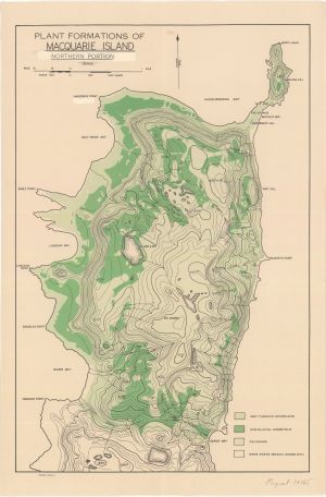
| 14165 | Plant formations of Macquarie Island : northern portion | 1959 | 1 : 22 000 |
 |
| 2104 | Point Geologie Archipelago | 1982 | 1 : 1000 | |
| 12818 | Point Geologie Archipelago | 1983 | 1 : 1000 | |
| 12824 | Point Geologie Archipelago | 1975 | 1 : 20 000 | |
| 2103 | Point Geololgie Archipelago | 1982 | 1 : 1000 | |
| 5248 | Port-aux-Francais, Iles Kerguelen (Sheet 2) | 1969 | 1 : 5000 | |
| 5102 | Preliminary - Framnes Mountains - Sheet 2 | 1998 | 1 : 50 000 |
 |
| 5128 | Preliminary - Gaussberg photogrammetric plot | 1997 | 1 : 5000 | |
| 5134 | Preliminary - Larsemann Hills | 1988 | 1 : 25 000 | |
| 5135 | Preliminary - Larsemann Hills | 1988 | 1 : 25 000 | |
| 14057 | Preliminary - Mawson Station Local Area Map | 1993 | 1 : 25 000 |
 |
| 12660 | Preliminary - Preliminary delineation of catchments on Broknes Peninsula, Larsemann Hills, Antarctica | 1997 | 1 : c30 770 |
 |
| 44 | Preliminary - Rauer Group / Princess Elizabeth Land | 1992 | 1 : 50 000 | |
| 45 | Preliminary - Rauer Group / Princess Elizabeth Land | 1992 | 1 : 50 000 | |
| 46 | Preliminary - Rauer Group / Princess Elizabeth Land | 1992 | 1 : 50 000 | |
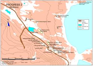
| 12341 | Progress 2 Station (Russia) | 2000 | 1 : 2500 |
 |
| 13436 | Proposed runway sites in the Vestfold Hills surveyed by Australian Construction Services in 1983 |
2007 | 1 : 37 000 |
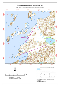 |
| 13437 | Proposed runway sites in the Vestfold Hills surveyed by Australian Construction Services in 1983 |
2007 | 1 : 37 000 |
 |
| 5198 | Puertos en el Territorio Antartico Chileno: Bahia Neny | 1969 | 1 : 20 000 | |
| 47 | Rauer Group / Princess Elizabeth Land | 1991 | 1 : 50 000 |
 |
| 48 | Rauer Group / Princess Elizabeth Land | 1992 | 1 : 50 000 |
 |
| 12964 | Rauer Group : Mapping Project - Photo control | 2002 | 1 : 40 000 |
 |
| 12205 | Rauer Group Helicopter Access | 1998 | 1 : 80 000 |
 |
| 13723 | Rauer Group: Proposed Aerial Photography 2009-10 Map 1 |
2009 | 1 : 50 000 |
 |
| 13724 | Rauer Group: Proposed Aerial Photography 2009-10 Map 2 |
2009 | 1 : 50 000 |
 |
| 13725 | Rauer Group: Proposed Aerial Photography 2009-10 Map 3 |
2009 | 1 : 50 000 |
 |
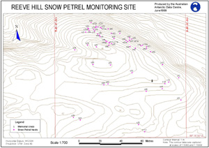
| 11208 | Reeve Hill Snow Petrel Monitoring Site | 1999 | 1 : 700 |
 |
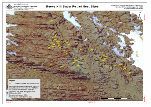
| 13993 | Reeve Hill Snow Petrel Nest Sites | 2011 | 1 : 385 |
 |
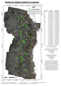
| 14451 | Robinson Ridge Quadrat Locations | 2015 | 1 : 400 |
 |
| 12739 | Rookery Islands | 2001 | 1 : 40 000 |
 |
| 12738 | Rookery Islands (SPA 2) | 2001 | 1 : 20 000 |
 |
| 13169 | Rookery Islands, Holme Bay, Mawson Coast. Map B : Antarctic Specially Protected Area no. 102. Bird distribution | 2006 | 1 : 36 000 |
 |
| 2989 | Scott Glacier | 1959 | 1 : 50 000 |
 |
| 14488 | Scullin and Murray Monoliths (ASPA 164) (Helicopter Operations) | 2015 | 1 : 37 000 |
 |
| 13906 | Scullin and Murray Monoliths (ASPA 164) (Helicopter Operations) | 2011 | 1 : 37 000 |
 |
| 14115 | Scullin and Murray Monoliths [Black and white] | 2012 | 1 : 38 000 |
 |
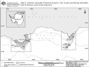
| 13731 | Scullin and Murray Monoliths, Mawson Coast, Mac.Robertson Land, East Antarctica Antarctic Specially Protected Area No. 164 Map A |
2010 | 1 : 65 000 |
 |
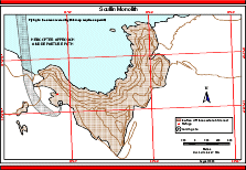
| 13162 | Scullin and Murray Monoliths, Mawson Coast. Map B : Antarctic Specially Protected Area no. 164. Scullin Monolith : Topography and bird distribution | 2006 | 1 : 18 000 |
 |
| 13161 | Scullin and Murray Monoliths, Mawson Coast. Map A : Antarctic Specially Protected Area no. 164 | 2006 | 1 : 35 000 |
 |
| 13163 | Scullin and Murray Monoliths, Mawson Coast. Map C : Antarctic Specially Protected Area no. 164. Murray Monolith: Topography | 2006 | 1 : 16 000 |
 |
| 12123 | Scullin Monolith | 2000 | 1 : 20 000 |
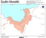 |
| 12580 | Scullin Monolith : Helicopter approach and departure path | 2000 | 1 : 15 800 |
 |
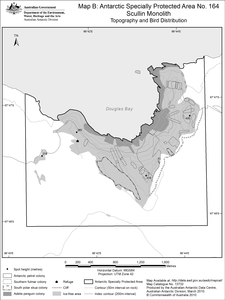
| 13732 | Scullin Monolith Antarctic Specially Protected Area No. 164 Map B: Topography and Bird Distribution |
2010 | 1 : 24 000 |
 |
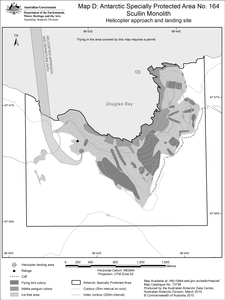
| 13738 | Scullin Monolith Antarctic Specially Protected Area No. 164 Map D: Helicopter approach and landing site |
2010 | 1 : 24 000 |
 |
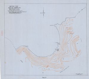
| 14341 | Scullin Monolith Sketch Map |
1954 | 1 : 4800 |
 |
| 12830 | Shallow areas close to Casey Station | 2001 | 1 : 85 000 |
 |
| 11 | Site of Special Scientific Interest No. 25 Marine Plain, Mule Peninsula, Vestfold Hills, Princess Elizabeth Land |
1993 | 1 : 10 000 |
 |
| 5 | Site of Special Scientific Interest Number 16, Wilkes Land, Antarctica | 1996 | 1 : 2000 |
 |
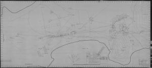
| 14175 | Sketch map of A.N.A.R.E. station area, Macquarie Island | 1950 | 1 : 2400 |
 |
| 14274 | Sketch Map of Macquarie Island North End Isthmus | 1949 | 1 : 2200 |
 |
| 12970 | Sørsdal Formation, Marine Plain ASPA 143, Antarctic Specially Protected Area. Map D | 2002 | 1 : 48 780 |
 |
| 5557 | South or Perseverance Harbour (Campbell Island) | 1952 | 1 : 50 000 | |
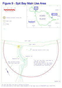
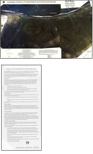
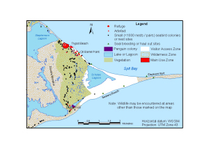
| 14174 | Spit Bay Main Use Area | 1995 | 1 : c1350 |
 |
| 14171 | Spit Bay Main Use Area | 1995 | 1 : 1875 |
 |
| 12 | Spit Bay, Heard Island | 1993 | 1 : 1000 |
 |
| 13103 | Spit Bay, Heard Island | 2004 | 1 : 76 070 |
 |
| 5212 | St Paul Island | 1963 | 1 : 20 000 | |
| 13866 | Steinnes Proposed Aerial Photography of Penguin Colonies 2010-11 |
2010 | 1 : 40 000 |
 |
| 13958 | Stornes, Larsemann Hills Map B: Geology |
2013 | 1 : 67 000 |
 |
| 13863 | Svenner Islands Proposed Aerial Photography of Penguin Colonies 2010-11 |
2010 | 1 : 40 000 |
 |
| 13864 | Svenner South Proposed Aerial Photography of Penguin Colonies 2010-11 |
2010 | 1 : 40 000 |
 |
| 13865 | Svenner South-East Proposed Aerial Photography of Penguin Colonies 2010-11 |
2010 | 1 : 40 000 |
 |
| 2990 | Taylor Islands | 1959 | 1 : 50 000 |
 |
| 13905 | Taylor Rookery (ASPA 101) (Helicopter Operations) | 2011 | 1 : 10 000 |
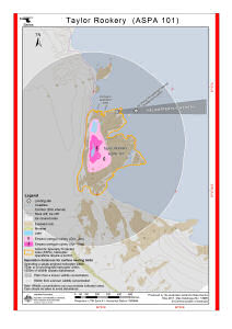 |
| 5109 | Taylor Rookery Specially Protected Area No.1 topographical map (A4) | 1998 | 1 : 5000 |
 |
| 12549 | Taylor Rookery (SPA 1) (Helicopter Operations) | 2000 | 1 : 5300 |
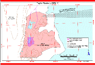 |
| 13166 | Taylor Rookery, Mawson Coast. Map B : Antarctic Specially Protected Area No. 101. Detail Taylor Rookery : topography and emperor penguin colony | 2005 | 1 : 5000 |
 |
| 13167 | Taylor Rookery, Mawson Coast. Map C : Antarctic Specially Protected Area No. 101. Helicopter approach and landing site | 2005 | 1 : 5000 |
 |
| 5110 | Taylor Rookery, Specially Protected Area No.1 topographical map | 1998 | 1 : 5000 |
 |
| 5111 | Taylor Rookery, Specially Protected Area No.1, Orthophoto Map | 1998 | 1 : 5000 |
 |
| 13313 | Terytorium Antarktydy Oaza Bungera : Polska Stacja im. A.B. Dobrowolskiego | 1979 | 1 : 5000 |
 |
| 14216 | The Isthmus at Macquarie Island with a Macquarie Island inset and an inset showing the location of Macquarie Island in relation to Australia and New Zealand [Black and white] |
2013 | 1 : 18 500 |
 |
| 14284 | The Main Base locality, Cape Denison | 1942 | 1 : 4020 |
 |
| 2993 | Thomas Island | 1959 | 1 : 50 000 |
 |
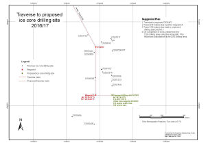
| 14541 | Traverse to proposed ice core drilling site 2016/17 | 2016 | 1 : 5500 |
 |
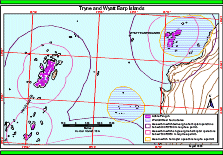
| 13893 | Tryne and Wyatt Earp Islands (Helicopter Operations) | 2011 | 1 : 40 000 |
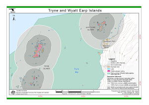 |
| 12565 | Tryne and Wyatt Islands (Helicopter Operations) | 2000 | 1 : 33 500 |
 |
| 12728 | Verner Island and Petersen Island [Penguin Colonies : Topographical map] | 2000 | 1 : 6000 |
 |
| 12725 | Verner Island and Petersen Island Penguin Colonies : Orthophoto map | 2000 | 1 : 5000 |
 |
| 12722 | Verner Island and Petersen Island topographical map | 2000 | 1 : 10 000 |
 |
| 12890 | Vestfold Hills | 2001 | 1 : 50 000 |
 |
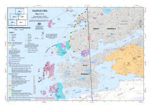
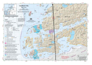
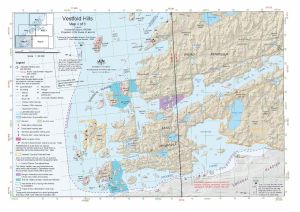
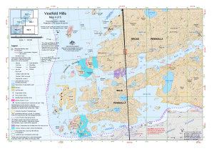
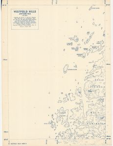
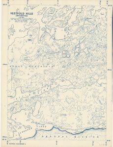
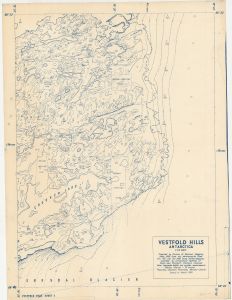
| 2025 | Vestfold Hills | 1965 | 1 : 50 000 | |
| 2026 | Vestfold Hills | 1997 | 1 : 25 000 | |
| 2027 | Vestfold Hills | 1997 | 1 : 25 000 | |
| 2028 | Vestfold Hills | 1997 | 1 : 25 000 | |
| 2029 | Vestfold Hills | 1997 | 1 : 25 000 | |
| 1738 | Vestfold Hills | 1992 | 1 : 50 000 | |
| 1743 | Vestfold Hills | 1 : 20 000 | ||
| 1764 | Vestfold Hills | 1973 | 1 : 50 000 | |
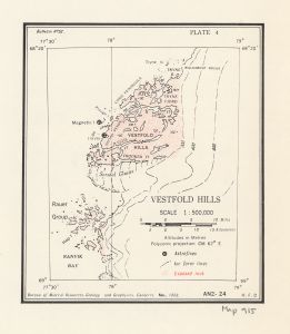
| 915 | Vestfold Hills | 1958 | 1 : 50 000 |
 |
| 14202 | Vestfold Hills | 2013 | 1 : 50 000 |
 |
| 14132 | Vestfold Hills | 1989 | 1 : 50 000 |
 |
| 1797 | Vestfold Hills - shows Crooked Lake | 1959 | 1 : 20 000 | |
| 1795 | Vestfold Hills - shows Long Peninsula | 1 : 20 000 | ||
| 1796 | Vestfold Hills - shows Tryne Bay, Sound and Fjord | 1959 | 1 : 20 000 | |
| 49 | Vestfold Hills / Princess Elizabeth Land | 1982 | 1 : 50 000 |
 |
| 14042 | Vestfold Hills : Aerial photography for 1996/97 and aerial triangulation for 1994/95 | 1998 | 1 : 50 000 |
 |
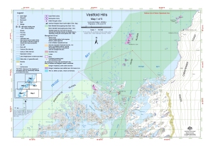
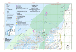
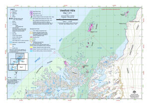
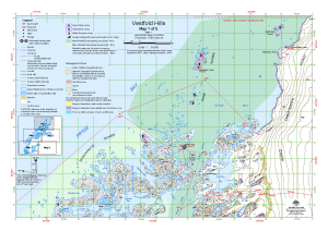
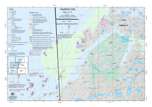
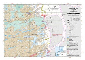
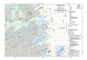
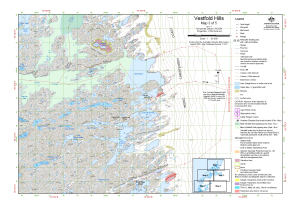
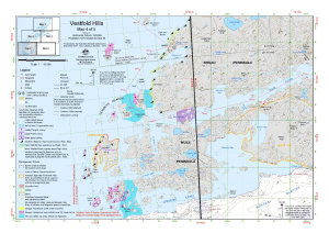
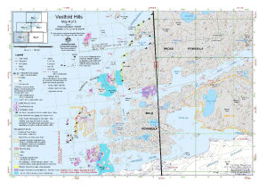
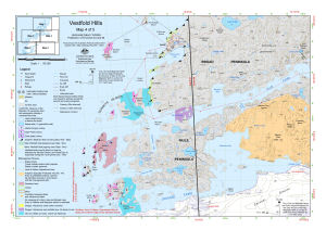
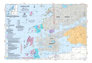
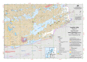
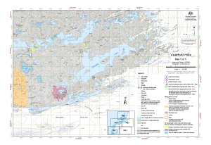
| 13979 | Vestfold Hills : Map 1 of 5 | 2012 | 1 : 50 000 |
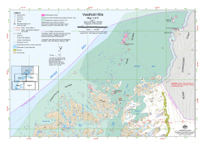 |
| 14590 | Vestfold Hills : Map 1 of 5 | 2017 | 1 : 50 000 |
 |
| 14515 | Vestfold Hills : Map 1 of 5 | 2016 | 1 : 50 000 |
 |
| 13151 | Vestfold Hills : Map 1 of 5 | 2005 | 1 : 50 000 |
 |
| 13093 | Vestfold Hills : Map 1 of 5 | 2004 | 1 : 50 000 |
 |
| 13314 | Vestfold Hills : Map 1 of 5 | 2006 | 1 : 50 000 |
 |
| 13482 | Vestfold Hills : Map 1 of 5 | 2008 | 1 : 50 000 |
 |
| 13417 | Vestfold Hills : Map 1 of 5 | 2007 | 1 : 50 000 |
 |
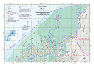
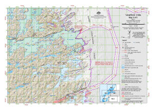
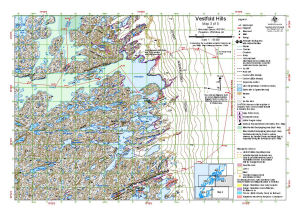
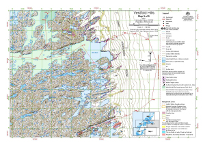
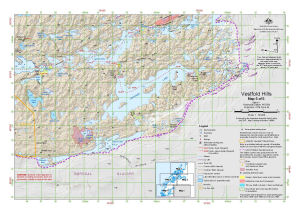
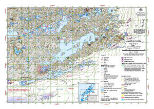
| 13418 | Vestfold Hills : Map 2 of 5 | 2007 | 1 : 50 000 |
 |
| 13483 | Vestfold Hills : Map 2 of 5 | 2008 | 1 : 50 000 |
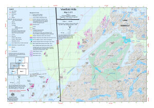 |
| 13293 | Vestfold Hills : Map 2 of 5 | 2006 | 1 : 50 000 |
 |
| 13094 | Vestfold Hills : Map 2 of 5 | 2004 | 1 : 50 000 |
 |
| 13152 | Vestfold Hills : Map 2 of 5 | 2005 | 1 : 50 000 |
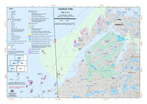 |
| 14516 | Vestfold Hills : Map 2 of 5 | 2016 | 1 : 50 000 |
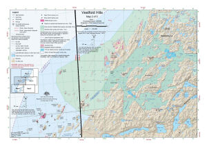 |
| 14591 | Vestfold Hills : Map 2 of 5 | 2017 | 1 : 50 000 |
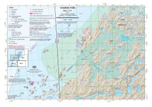 |
| 13980 | Vestfold Hills : Map 2 of 5 | 2012 | 1 : 50 000 |
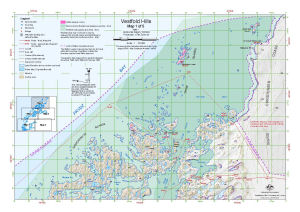
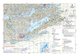
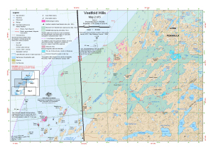 |
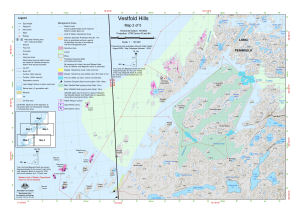
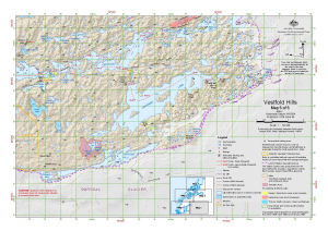
| 13981 | Vestfold Hills : Map 3 of 5 | 2012 | 1 : 50 000 |
 |
| 14592 | Vestfold Hills : Map 3 of 5 | 2017 | 1 : 50 000 |
 |
| 14517 | Vestfold Hills : Map 3 of 5 | 2016 | 1 : 50 000 |
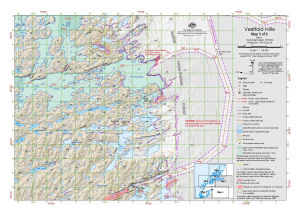 |
| 13153 | Vestfold Hills : Map 3 of 5 | 2005 | 1 : 50 000 |
 |
| 13095 | Vestfold Hills : Map 3 of 5 | 2004 | 1 : 50 000 |
 |
| 13315 | Vestfold Hills : Map 3 of 5 | 2006 | 1 : 50 000 |
 |
| 13484 | Vestfold Hills : Map 3 of 5 | 2008 | 1 : 50 000 |
 |
| 13419 | Vestfold Hills : Map 3 of 5 | 2007 | 1 : 50 000 |
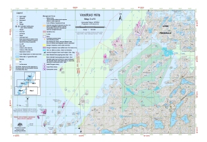
 |
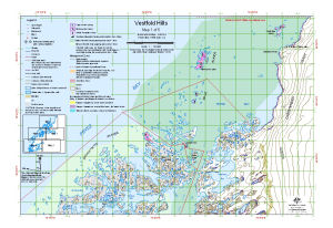
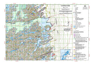
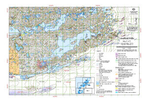
| 13420 | Vestfold Hills : Map 4 of 5 | 2007 | 1 : 50 000 |
 |
| 13485 | Vestfold Hills : Map 4 of 5 | 2008 | 1 : 50 000 |
 |
| 13294 | Vestfold Hills : Map 4 of 5 | 2006 | 1 : 50 000 |
 |
| 13096 | Vestfold Hills : Map 4 of 5 | 2004 | 1 : 50 000 |
 |
| 13149 | Vestfold Hills : Map 4 of 5 | 2005 | 1 : 50 000 |
 |
| 14518 | Vestfold Hills : Map 4 of 5 | 2016 | 1 : 50 000 |
 |
| 14593 | Vestfold Hills : Map 4 of 5 | 2017 | 1 : 50 000 |
 |
| 13982 | Vestfold Hills : Map 4 of 5 | 2012 | 1 : 50 000 |
 |
| 13983 | Vestfold Hills : Map 5 of 5 | 2012 | 1 : 50 000 |
 |
| 14594 | Vestfold Hills : Map 5 of 5 | 2017 | 1 : 50 000 |
 |
| 14519 | Vestfold Hills : Map 5 of 5 | 2016 | 1 : 50 000 |
 |
| 13150 | Vestfold Hills : Map 5 of 5 | 2005 | 1 : 50 000 |
 |
| 13097 | Vestfold Hills : Map 5 of 5 | 2004 | 1 : 50 000 |
 |
| 13486 | Vestfold Hills : Map 5 of 5 | 2008 | 1 : 50 000 |
 |
| 13421 | Vestfold Hills : Map 5 of 5 | 2007 | 1 : 50 000 |
 |
| 13304 | Vestfold Hills : Map 5 of 5 | 2006 | 1 : 50 000 |
 |
| 14278 | Vestfold Hills Bathymetry Map 1 |
2014 | 1 : 15 000 |
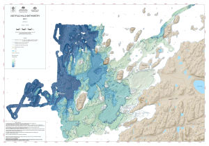 |
| 14317 | Vestfold Hills Bathymetry Map 2 |
2014 | 1 : 15 000 |
 |
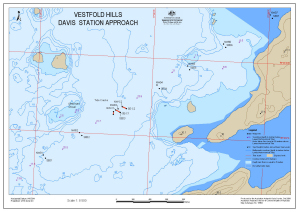
| 13559 | Vestfold Hills Davis Station approach | 2008 | 1 : 50 000 |
 |
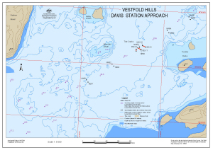
| 13560 | Vestfold Hills Davis Station approach : Map 2 of 6 | 2008 | 1 : 34 000 |
 |
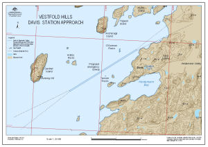
| 13561 | Vestfold Hills Davis Station approach : Map 3 of 6 | 2008 | 1 : 8500 |
 |
| 13562 | Vestfold Hills Davis Station approach : Map 4 of 6 | 2008 | 1 : 8500 |
 |
| 13563 | Vestfold Hills Davis Station approach : Map 5 of 6 | 2008 | 1 : 8500 |
 |
| 13564 | Vestfold Hills Davis Station approach : Map 6 of 6 | 2008 | 1 : 20 000 |
 |
| 14130 | Vestfold Hills Lake Levels 1979 to 1985 | 1985 | 1 : 50 000 |
 |
| 14131 | Vestfold Hills Lake Levels 1979 to 1988 | 1988 | 1 : 50 000 |
 |
| 14232 | Vestfold Hills Level Control Network 1979 (3 maps) | 1979 | 1 : c50 000 | |
| 13874 | Vestfold Hills Plateau Area Proposed Scanning 2010-11 |
2010 | 1 : 90 000 |
 |
| 11065 | Vestfold Hills Topographic - 20m Contours. Black and white version | 1999 | 1 : 50 000 | |
| 11047 | Vestfold Hills Topographic - 5m Contours | 1999 | 1 : 50 000 |
 |
| 1751 | Vestfold Hills, Antarctica 1958 1:20,000 (Sheet 1) | 1958 | 1 : 20 000 |
 |
| 1752 | Vestfold Hills, Antarctica 1958 1:20,000 (Sheet 2) | 1958 | 1 : 20 000 |
 |
| 1753 | Vestfold Hills, Antarctica 1958 1:20,000 (Sheet 3) | 1958 | 1 : 20 000 |
 |
| 1754 | Vestfold Hills, Antarctica 1958 1:20,000 (Sheet 4) | 1958 | 1 : 20 000 |
 |
| 1755 | Vestfold Hills, Antarctica 1958 1:20,000 (Sheet 5) | 1958 | 1 : 20 000 |
 |
| 51 | Vestfold Hills, Princess Elizabeth Land | 1991 | 1 : 50 000 |
 |
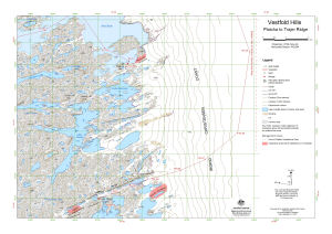
| 13574 | Vestfold Hills: Platcha to Trajer Ridge | 2009 | 1 : 25 000 |
 |
| 13718 | Vestfold Hills: Proposed Aerial Photography of Penguin Colonies 2009-10 Map 1 |
2009 | 1 : 50 000 |
 |
| 13719 | Vestfold Hills: Proposed Aerial Photography of Penguin Colonies 2009-10 Map 2 |
2009 | 1 : 50 000 |
 |
| 13720 | Vestfold Hills: Proposed Aerial Photography of Penguin Colonies 2009-10 Map 3 |
2009 | 1 : 50 000 |
 |
| 13873 | Vestfold Hills Proposed Scanning 2010-11 |
2010 | 1 : 15 000 |
 |
| 13105 | VHF radar at Davis Station, Antarctica | 2004 | 1 : 1230 |
 |
| 12713 | VHF Reception on Macquarie Island | 2001 | 1 : 50 000 |
 |
| 12729 | Welch Island [Penguin Colonies : topographical map] | 2000 | 1 : 6500 |
 |
| 12726 | Welch Island Penguin Colonies : Orthophoto map | 2000 | 1 : 5000 |
 |
| 12723 | Welch Island topographical map | 2000 | 1 : 10 000 |
 |
| 195 | Western approaches to Casey | 1997 | 1 : 25 000 | |
| 196 | Western approaches to Casey | 1997 | 1 : 25 000 | |
| 197 | Western approaches to Casey | 1997 | 1 : 10 000 | |
| 292 | Wilkes Station Approaches | 1987 | 1 : 50 000 | |
| 317 | Wilkes Station Approaches | 1966 | 1 : 50 000 | |
| 14123 | Wilkins Aerodrome Search Zones | 2012 | 1 : 30 000 |
 |
| 14260 | Wilkins Aerodrome Search Zones | 2013 | 1 : 30 000 |
 |
| 14238 | Windmill Islands | 2013 | 1 : 50 000 |
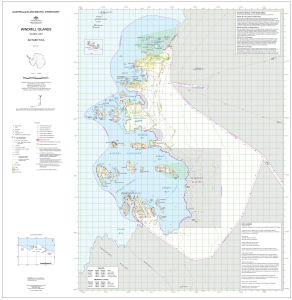 |
| 5811 | Windmill Islands | 1969 | 1 : 50 000 | |
| 5796 | Windmill Islands - Sheet 1 | 1956 | 1 : 12 000 |
 |
| 14126 | Windmill Islands - Sheet 3 | 1956 | 1 : 12 000 |
 |
| 5797 | Windmill Islands (Sheet 2) - Corrected July 1968 | 1957 | 1 : 12 000 | |
| 5798 | Windmill Islands (Sheet 3) | 1967 | 1 : 12 000 | |
| 5104 | Windmill Islands / Wilkes Land | 1997 | 1 : 50 000 |
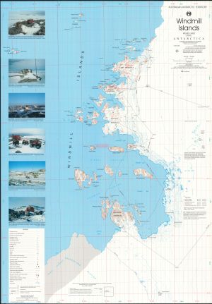 |
| 13651 | Windmill Islands : Map 1 of 5 | 2009 | 1 : 50 000 |
 |
| 13426 | Windmill Islands : Map 1 of 5 | 2007 | 1 : 50 000 |
 |
| 13494 | Windmill Islands : Map 1 of 5 | 2008 | 1 : 50 000 |
 |
| 13297 | Windmill Islands : Map 1 of 5 | 2006 | 1 : 50 000 |
 |
| 14110 | Windmill Islands : Map 1 of 5 | 2012 | 1 : 50 000 |
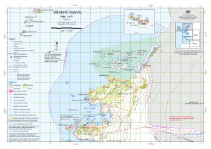 |
| 13920 | Windmill Islands : Map 1 of 5 | 2011 | 1 : 50 000 |
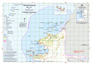 |
| 14613 | Windmill Islands : Map 1 of 5 | 2017 | 1 : 50 000 |
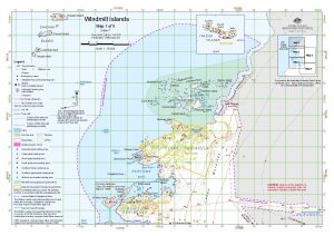 |
| 14614 | Windmill Islands : Map 2 of 5 | 2017 | 1 : 50 000 |
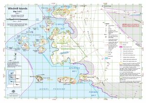 |
| 13921 | Windmill Islands : Map 2 of 5 | 2011 | 1 : 50 000 |
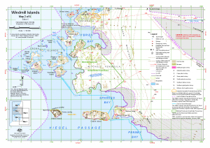 |
| 14111 | Windmill Islands : Map 2 of 5 | 2012 | 1 : 50 000 |
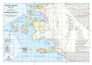 |
| 13298 | Windmill Islands : Map 2 of 5 | 2006 | 1 : 50 000 |
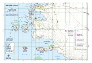 |
| 13495 | Windmill Islands : Map 2 of 5 | 2008 | 1 : 50 000 |
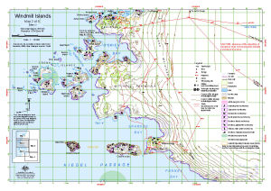 |
| 13427 | Windmill Islands : Map 2 of 5 | 2007 | 1 : 50 000 |
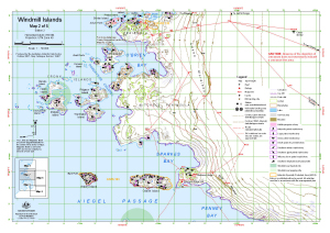 |
| 13652 | Windmill Islands : Map 2 of 5 | 2009 | 1 : 50 000 |
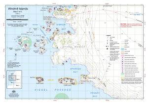 |
| 13653 | Windmill Islands : Map 3 of 5 | 2009 | 1 : 50 000 |
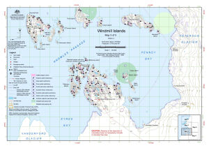 |
| 13428 | Windmill Islands : Map 3 of 5 | 2007 | 1 : 50 000 |
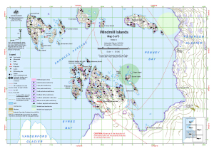 |
| 13496 | Windmill Islands : Map 3 of 5 | 2008 | 1 : 50 000 |
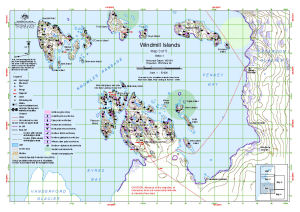 |
| 13299 | Windmill Islands : Map 3 of 5 | 2006 | 1 : 50 000 |
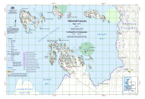 |
| 14112 | Windmill Islands : Map 3 of 5 | 2012 | 1 : 50 000 |
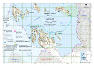 |
| 13922 | Windmill Islands : Map 3 of 5 | 2011 | 1 : 50 000 |
 |
| 14615 | Windmill Islands : Map 3 of 5 | 2017 | 1 : 50 000 |
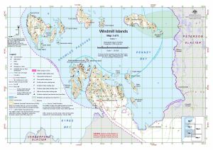 |
| 14616 | Windmill Islands : Map 4 of 5 | 2017 | 1 : 50 000 |
 |
| 13923 | Windmill Islands : Map 4 of 5 | 2011 | 1 : 50 000 |
 |
| 14113 | Windmill Islands : Map 4 of 5 | 2012 | 1 : 50 000 |
 |
| 13300 | Windmill Islands : Map 4 of 5 | 2006 | 1 : 50 000 |
 |
| 13497 | Windmill Islands : Map 4 of 5 | 2008 | 1 : 50 000 |
 |
| 13429 | Windmill Islands : Map 4 of 5 | 2007 | 1 : 50 000 |
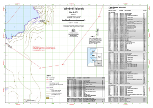 |
| 13654 | Windmill Islands : Map 4 of 5 | 2009 | 1 : 50 000 |
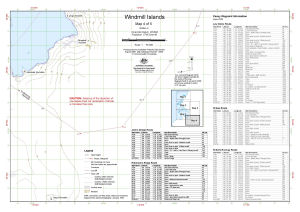 |
| 13655 | Windmill Islands : Map 5 of 5 | 2009 | 1 : 50 000 |
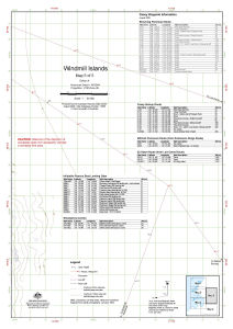 |
| 13430 | Windmill Islands : Map 5 of 5 | 2007 | 1 : 50 000 |
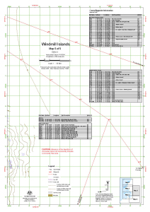 |
| 13498 | Windmill Islands : Map 5 of 5 | 2008 | 1 : 50 000 |
 |
| 13301 | Windmill Islands : Map 5 of 5 | 2006 | 1 : 50 000 |
 |
| 14114 | Windmill Islands : Map 5 of 5 | 2012 | 1 : 50 000 |
 |
| 13924 | Windmill Islands : Map 5 of 5 | 2011 | 1 : 50 000 |
 |
| 14617 | Windmill Islands : Map 5 of 5 | 2017 | 1 : 50 000 |
 |
| 14565 | Windmill Islands Bathymetry | 2017 | 1 : 15 000 |
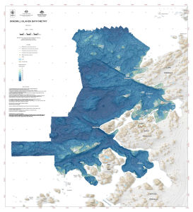 |
| 13196 | Windmill Islands Flight lines and photograph centres from the Linhof camera, December 1990 | 2005 | 1 : 50 000 |
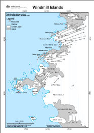 |
| 13008 | Windmill Islands, Wilkes Land | 1989 | 1 : 50 000 |
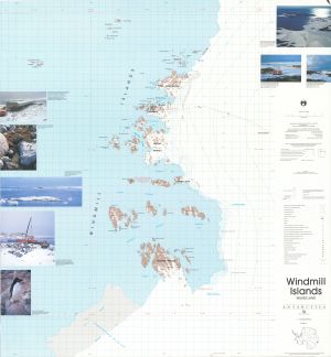 |
| 13012 | Windmill Islands, Wilkes Land | 1989 | 1 : 50 000 |
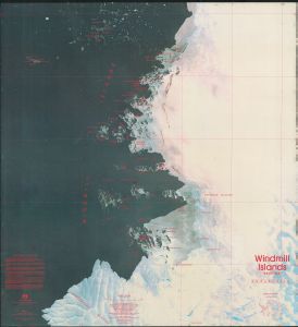 |
| 10 | Windmill Islands, Wilkes Land | 1995 | 1 : 50 000 |
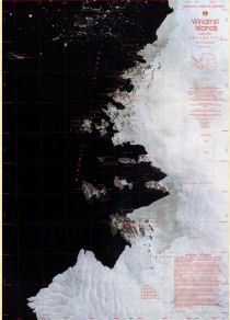 |
| 11547 | Working map of Red Island, Heard Island | 1999 | 1 : 20 000 |
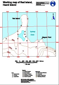 |
| 11546 | Working map of Saddle Point, Heard Island | 1999 | 1 : 20 000 |
 |
| 11545 | Working map of Stephenson Lagoon, Heard Island | 1999 | 1 : 20 000 |
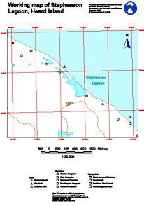 |
| 2071 | Zhong Shan Station of China | 1991 | 1 : 2000 |
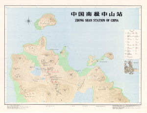 |
| 12340 | Zhongshan Station (PRC) | 2000 | 1 : 2500 |
 |