Antarctic Maps
Large scale maps covering scales below 1:100 000
-
that cover
| 52° 54' 00.0" S to 53° 13' 00.0" S |
| 73° 14' 00.0" E to 73° 53' 00.0" E |
For additional maps, see the Mapping for the Map Catalogue.
Use the link on the Map No or the preview if it exists to see full details.
| Map No | Map Title | Year | Scale | Preview |
|---|---|---|---|---|
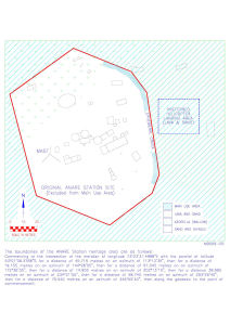
| 14170 | ANARE station heritage area, Atlas Cove | 1995 | 1 : c1000 |
 |
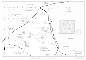
| 14173 | Atlas Cove former ANARE Station site | 1995 | 1 : 570 |
 |
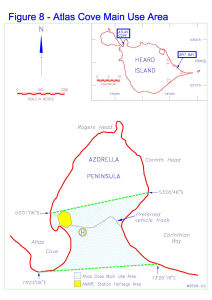
| 14169 | Atlas Cove Main Use Area | 1995 | 1 : c23 250 |
 |
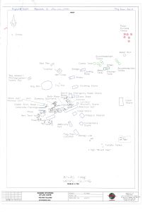
| 13656 | Atlas Cove photograph locations | 2008 | 1 : 750 |
 |
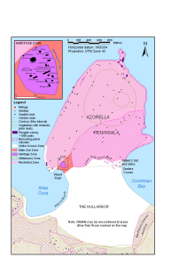
| 13101 | Azorella Peninsula, Heard Island | 2004 | 1 : 24 200 |
 |
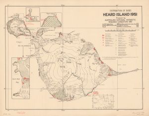
| 1544 | Distribution of Birds, Heard Island 1951 | 1952 | 1 : 82 286 |
 |
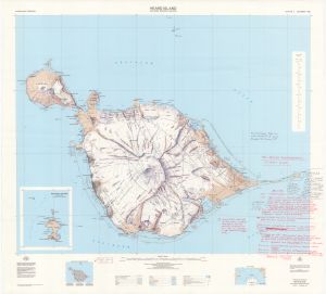
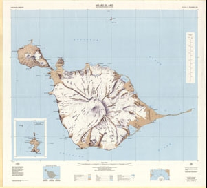
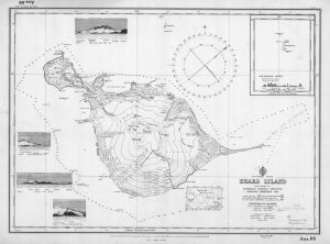
| 892 | Heard Island | 1986 | 1 : 50 000 | |
| 1522 | Heard Island | 1 : 80 467 | ||
| 5169 | Heard Island | 1949 | 1 : 83 000 |
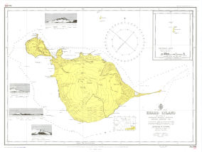 |
| 27 | Heard Island | 1964 | 1 : 50 000 |
 |
| 28 | Heard Island | 1977 | 1 : 50 000 |
 |
| 280 | Heard Island | 1968 | 1 : 83 000 | |
| 291 | Heard Island | 1968 | 1 : 83 000 | |
| 884 | Heard Island | 1 : 50 000 | ||
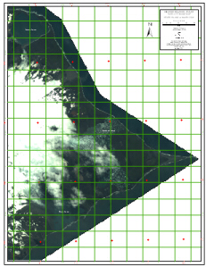
| 13029 | Heard Island - East : satellite image map | 2003 | 1 : 20 000 |
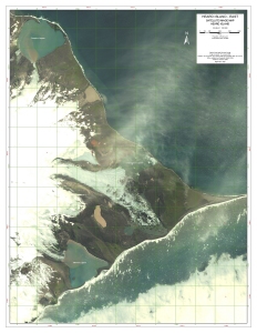 |
| 13275 | Heard Island - East : satellite image map Heard Island January 2006 |
2006 | 1 : 20 000 |
 |
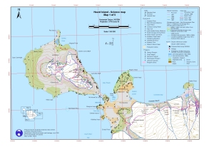
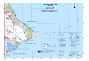
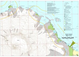
| 13013 | Heard Island - Science Map 1 of 5 | 2003 | 1 : 50 000 |
 |
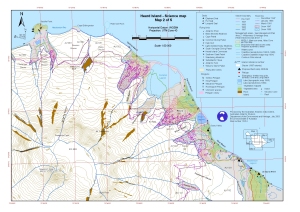
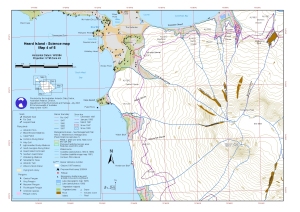
| 13014 | Heard Island - Science Map 2 of 5 | 2003 | 1 : 50 000 |
 |
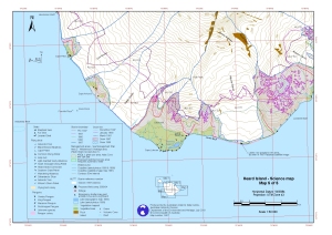
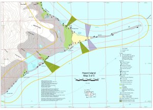
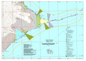
| 13015 | Heard Island - Science Map 3 of 5 | 2003 | 1 : 50 000 |
 |
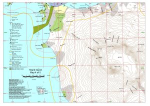
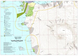
| 13016 | Heard Island - Science Map 4 of 5 | 2003 | 1 : 50 000 |
 |
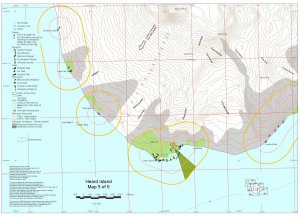
| 13017 | Heard Island - Science Map 5 of 5 | 2003 | 1 : 50 000 |
 |
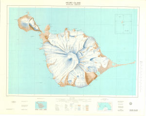
| 31 | Heard Island & McDonald Islands | 1991 | 1 : 50 000 |
 |
| 13412 | Heard Island 1951 : distribution of birds | 1959 | 1 : 90 000 | |
| 5160 | Heard Island 1986 Aerial Photography Flight Plan | 1987 | 1 : 50 000 |
 |
| 12817 | Heard Island and McDonald Islands / Scientific Research | 2002 | 1 : 50 000 |
 |
| 29 | Heard Island including McDonald Islands | 1985 | 1 : 50 000 |
 |
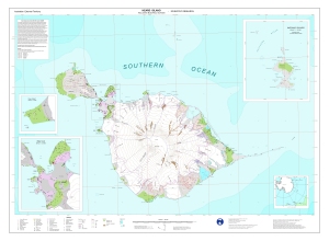
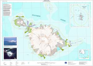
| 12204 | Heard Island including McDonald Islands | 2000 | 1 : 50 000 |
 |
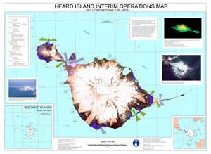
| 12202 | Heard Island Interim Operations Map, Including McDonald Islands | 1998 | 1 : 50 000 |
 |
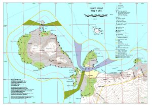
| 12680 | Heard Island Map 1 of 5 | 2000 | 1 : 50 000 |
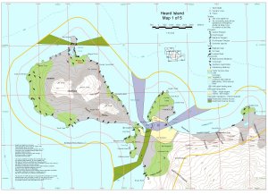 |
| 12128 | Heard Island Map 1 of 5 | 1999 | 1 : 50 000 |
 |
| 12129 | Heard Island Map 2 of 5 | 1999 | 1 : 50 000 |
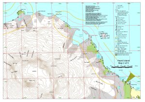 |
| 12681 | Heard Island Map 2 of 5 | 2000 | 1 : 50 000 |
 |
| 12682 | Heard Island Map 3 of 5 | 2000 | 1 : 50 000 |
 |
| 12130 | Heard Island Map 3 of 5 | 1999 | 1 : 50 000 |
 |
| 12131 | Heard Island Map 4 of 5 | 1999 | 1 : 50 000 |
 |
| 12683 | Heard Island Map 4 of 5 | 2000 | 1 : 50 000 |
 |
| 12684 | Heard Island Map 5 of 5 | 2000 | 1 : 50 000 |
 |
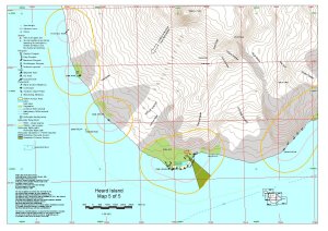
| 12132 | Heard Island Map 5 of 5 | 1999 | 1 : 50 000 |
 |
| 274 | Heard Island Survey from 1948 ANARE | 1949 | 1 : 83 000 |
 |
| 885 | Heard Island, Atlas Cove Camp on ground | 1 : 50 000 | ||
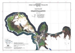
| 14520 | Heard Island, GeoEye satellite imagery - 2 February 2012, Map 1 of 5 | 2016 | 1 : 50 000 |
 |
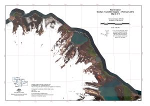
| 14521 | Heard Island, GeoEye satellite imagery - 2 February 2012, Map 2 of 5 | 2016 | 1 : 50 000 |
 |
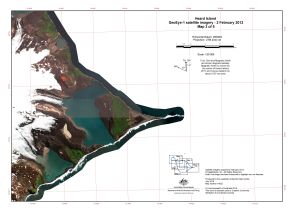
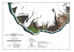
| 14522 | Heard Island, GeoEye satellite imagery - 2 February 2012, Map 3 of 5 | 2016 | 1 : 50 000 |
 |
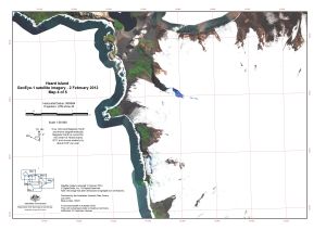
| 14523 | Heard Island, GeoEye satellite imagery - 2 February 2012, Map 4 of 5 | 2016 | 1 : 50 000 |
 |
| 14524 | Heard Island, GeoEye satellite imagery - 2 February 2012, Map 5 of 5 | 2016 | 1 : 50 000 |
 |
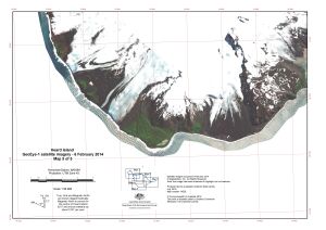
| 14525 | Heard Island, GeoEye satellite imagery - 6 February 2014, Map 1 of 5 | 2016 | 1 : 50 000 |
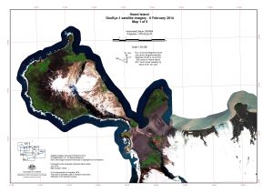 |
| 14526 | Heard Island, GeoEye satellite imagery - 6 February 2014, Map 2 of 5 | 2016 | 1 : 50 000 |
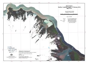 |
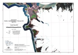
| 14527 | Heard Island, GeoEye satellite imagery - 6 February 2014, Map 3 of 5 | 2016 | 1 : 50 000 |
 |
| 14528 | Heard Island, GeoEye satellite imagery - 6 February 2014, Map 4 of 5 | 2016 | 1 : 50 000 |
 |
| 14529 | Heard Island, GeoEye satellite imagery - 6 February 2014, Map 5 of 5 | 2016 | 1 : 50 000 |
 |
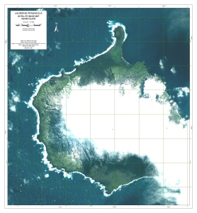
| 13030 | Laurens Peninsula : satellite image map, Heard Island | 2003 | 1 : 12 500 |
 |
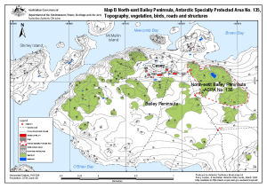
| 13512 | North-east Bailey Peninsula, Antarctic Specially Protected Area No. 135 : Topography, vegetation, birds, roads and structures (Map B) | 2008 | 1 : 12 000 |
 |
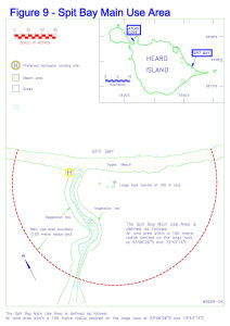
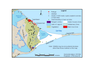
| 14171 | Spit Bay Main Use Area | 1995 | 1 : 1875 |
 |
| 14174 | Spit Bay Main Use Area | 1995 | 1 : c1350 |
 |
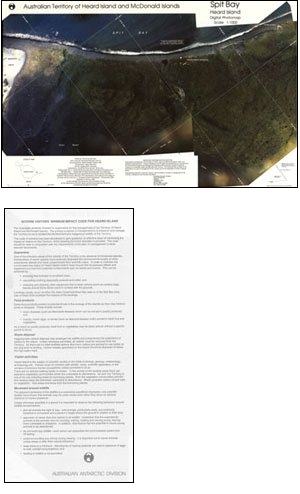
| 13103 | Spit Bay, Heard Island | 2004 | 1 : 76 070 |
 |
| 12 | Spit Bay, Heard Island | 1993 | 1 : 1000 |
 |
| 11547 | Working map of Red Island, Heard Island | 1999 | 1 : 20 000 |
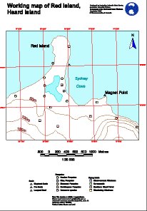 |
| 11546 | Working map of Saddle Point, Heard Island | 1999 | 1 : 20 000 |
 |
| 11545 | Working map of Stephenson Lagoon, Heard Island | 1999 | 1 : 20 000 |
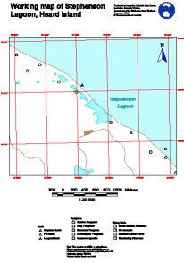 |