Antarctic Maps
Large scale maps covering scales below 1:100 000
-
that cover
| 67° 35' 56.0" S to 67° 36' 19.4" S |
| 62° 52' 05.2" E to 62° 52' 50.9" E |
For additional maps, see the Mapping for the Map Catalogue.
Use the link on the Map No or the preview if it exists to see full details.
| Map No | Map Title | Year | Scale | Preview |
|---|---|---|---|---|
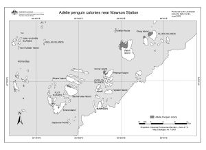
| 13043 | Adelie penguin colonies near Mawson Station | 2003 | 1 : 58 000 |
 |
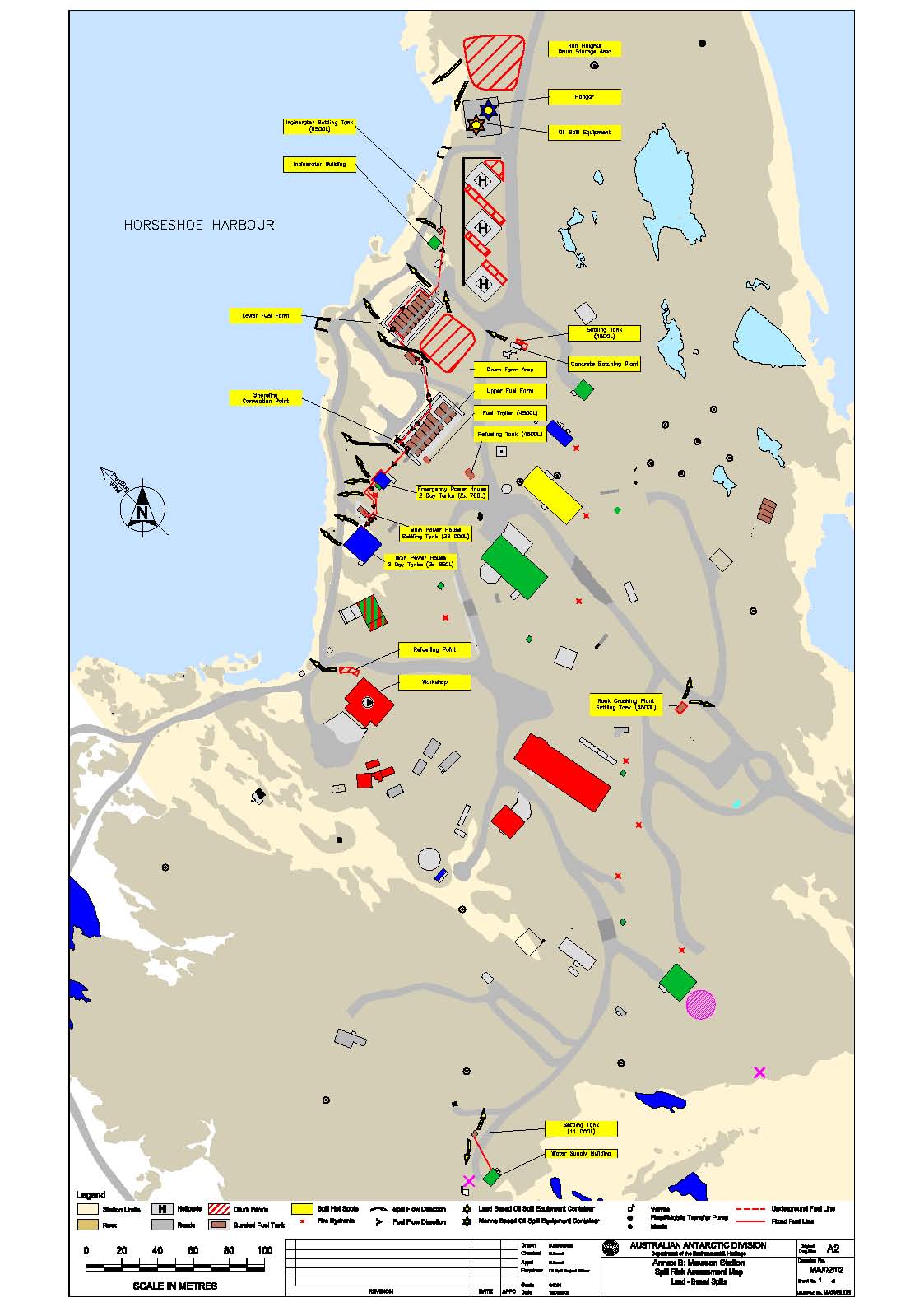
| 14452 | Annex B: Mawson Station Spill Risk Assessment Map Land - Based Spills |
2002 | 1 : 1000 |
 |
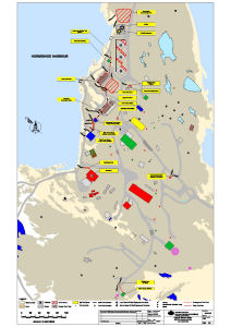
| 14453 | Annex B: Mawson Station Spill Risk Assessment Map Land - Based Spills |
2004 | 1 : 1000 |
 |
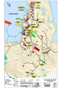
| 14454 | Annex B: Mawson Station Spill Risk Assessment Map Land and Marine-Based Spills |
2014 | 1 : 1000 |
 |
| 13704 | Annex B: Mawson Station Spill Risk Assessment Map Land and Marine-Based Spills |
2008 | 1 : 1000 |
 |
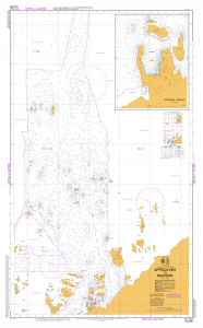
| 14601 | AUS 600 Approaches to Mawson | 2016 | 1 : 25 000 |
 |
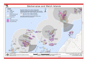
| 12581 | Bechervaise and Welch Islands (Helicopter Operations) | 2000 | 1 : 36 500 |
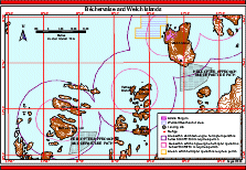 |
| 13904 | Béchervaise and Welch Islands (Helicopter Operations) | 2011 | 1 : 37 500 |
 |
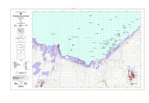
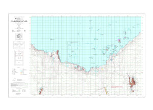
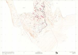
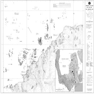
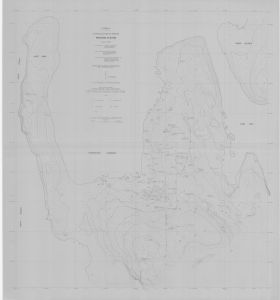
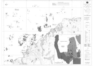
| 12920 | Draft - Framnes Mountains, MacRobertson Land, Antarctica. Sheet 1 | 2002 | 1 : 50 000 |
 |
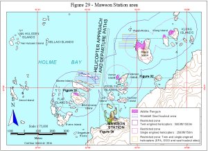
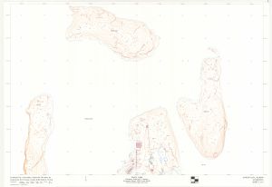
| 11393 | Figure 29 - Mawson Station area Helicopter Operations | 1999 | 1 : 75 000 |
 |
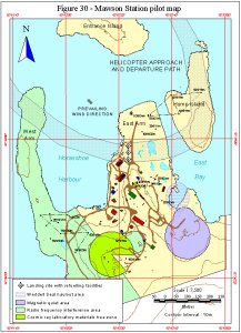
| 11394 | Figure 30 - Mawson Station pilot map Helicopter Operations | 1999 | 1 : 7500 |
 |
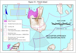
| 11396 | Figure 32 - Welch Island Helicopter Operations | 1999 | 1 : 35 000 |
 |
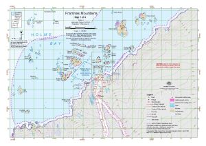
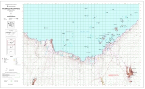
| 14623 | Framnes Mountains : Map 1 of 4 | 2017 | 1 : 50 000 |
 |
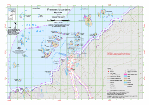
| 13940 | Framnes Mountains : Map 1 of 4 | 2011 | 1 : 50 000 |
 |
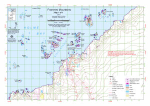
| 13657 | Framnes Mountains : Map 1 of 4 | 2009 | 1 : 50 000 |
 |
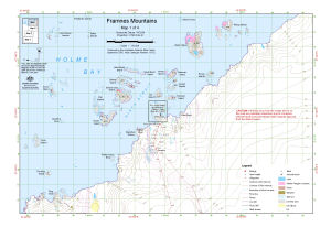
| 13182 | Framnes Mountains : Map 1 of 4 | 2005 | 1 : 50 000 |
 |
| 13490 | Framnes Mountains : Map 1 of 4 | 2008 | 1 : 50 000 |
 |
| 13191 | Framnes Mountains, MacRobertson Land, Antarctica. Sheet 1 | 2005 | 1 : 50 000 |
 |
| 13107 | Framnes Mountains, MacRobertson Land, Antarctica. Sheet 1 | 2004 | 1 : 50 000 |
 |
| 8206 | Geological chart of Mawson Base area | 1966 | 1 : 10 000 | |
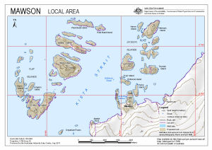
| 13988 | Mawson : Local Area | 2011 | 1 : 27 000 |
 |
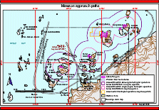
| 12575 | Mawson approach paths (Helicopter Operations) | 2000 | 1 : 62 500 |
 |
| 13773 | Mawson Data, Mawson Antarctica Sheet 2 of 2 | 1996 | 1 : 1000 |
 |
| 13772 | Mawson Data, Mawson Antarctica Sheet 1 of 2 | 1996 | 1 : 1000 |
 |
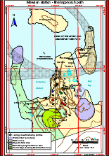
| 13903 | Mawson final helicopter approach (Helicopter Operations) | 2011 | 1 : 5600 |
 |
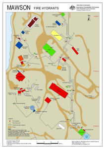
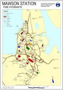
| 14218 | Mawson Fire Hydrants (Superceded) | 2013 | 1 : 1000 |
 |
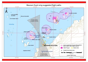
| 14308 | Mawson fixed wing suggested flight paths | 2014 | 1 : 70 000 |
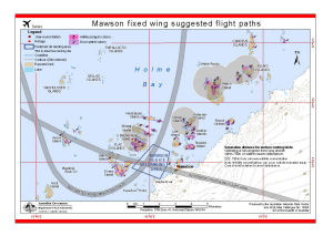 |
| 13932 | Mawson fixed wing suggested flight paths | 2012 | 1 : 70 000 |
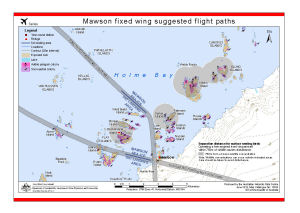 |
| 13027 | Mawson fixed wing suggested flight paths | 2003 | 1 : 58 000 |
 |
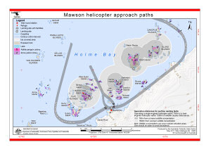
| 13902 | Mawson helicopter approach paths (Helicopter Operations) | 2011 | 1 : 70 000 |
 |
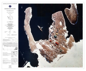
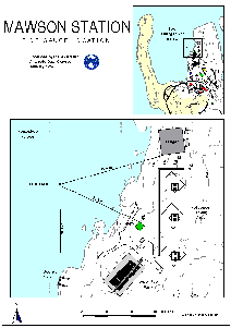
| 5155 | Mawson Local Area Map | 1992 | 1 : 10 000 |
 |
| 5156 | Mawson Local Area Map | 1994 | 1 : 10 000 |
 |
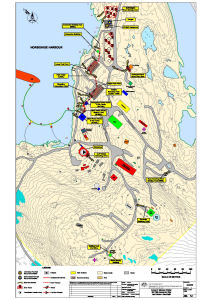
| 910 | Mawson Rock [Horseshoe Habour] | 1957 | 1 : c2400 | |
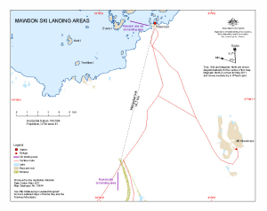
| 13954 | Mawson Ski Landing Areas | 2011 | 1 : 95 000 |
 |
| 1597 | Mawson Station | 1980 | 1 : 1000 |
 |
| 12576 | Mawson station - final approach path (Helicopter Operations) | 2000 | 1 : 5700 |
 |
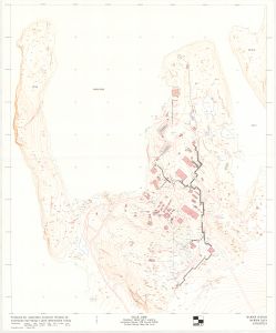
| 12925 | Mawson Station Area : Orthophoto map | 2003 | 1 : 1500 |
 |
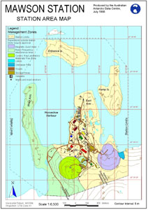
| 12443 | Mawson Station Area Map | 2000 | 1 : 6500 |
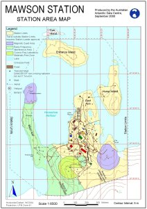 |
| 12711 | Mawson Station Area Map | 2000 | 1 : 1500 |
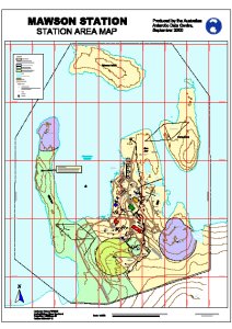 |
| 13057 | Mawson Station Area Map | 2004 | 1 : 6500 |
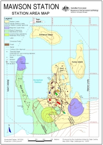 |
| 10165 | Mawson Station Area Map | 1999 | 1 : 6500 |
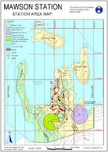 |
| 11111 | Mawson Station Area Map | 1999 | 1 : 1500 |
 |
| 12261 | Mawson Station Area Map | 1998 | 1 : 6500 |
 |
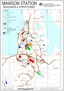
| 10447 | Mawson Station Buildings and Structures | 1998 | 1 : 2500 |
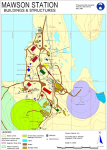 |
| 12243 | Mawson Station Buildings and Structures | 1998 | 1 : 3000 |
 |
| 10166 | Mawson Station Buildings and Structures | 1999 | 1 : 3000 |
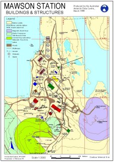 |
| 13058 | Mawson Station Buildings and Structures | 2004 | 1 : 3000 |
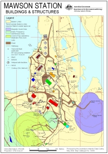 |
| 12442 | Mawson Station Buildings and Structures | 2000 | 1 : 3000 |
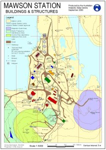 |
| 13247 | Mawson Station Buildings and Structures: without Management Zones | 2006 | 1 : 3000 |
 |
| 12422 | Mawson Station Fire Hydrants | 2000 | 1 : 3125 |
 |
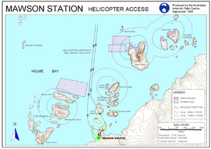
| 10326 | Mawson Station Helicopter Access | 1998 | 1 : 45 000 |
 |
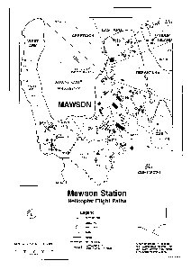
| 12323 | Mawson Station Helicopter Flight Paths | 1996 | 1 : 5000 |
 |
| 13132 | Mawson Station local area map | 1992 | 1 : 10 000 |
 |
| 13133 | Mawson Station Local Area Map | 1994 | 1 : 25 000 |
 |
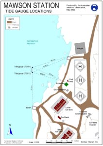
| 12300 | Mawson Station Tide Gauge Location | 1997 | 1 : c950 |
 |
| 12262 | Mawson Station Tide Gauge Locations | 2000 | 1 : 1000 |
 |
| 12700 | Mawson Station, Mawson Data, Antarctica | 1996 | 1 : 1000 |
 |
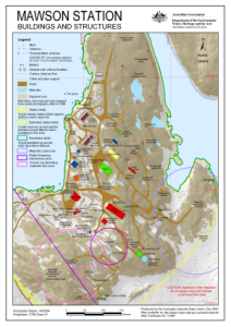
| 13389 | Mawson Station: Buildings and Structures | 2007 | 1 : 3000 |
 |
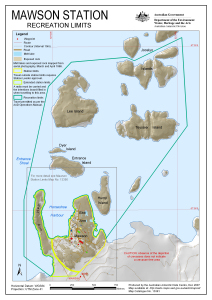
| 13391 | Mawson Station: Recreation Limits | 2007 | 1 : 11 500 |
 |
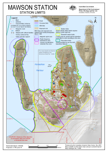
| 13390 | Mawson Station: Station Limits | 2007 | 1 : 5500 |
 |
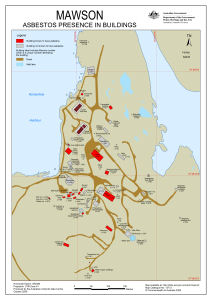
| 13712 | Mawson: Asbestos presence in buildings | 2009 | 1 : 2119 |
 |
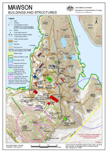
| 14456 | Mawson: Buildings and Structures | 2016 | 1 : 3000 |
 |
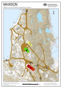
| 14490 | Mawson: Critical safety map for non-English speaking visitors | 2015 | 1 : c2400 |
 |
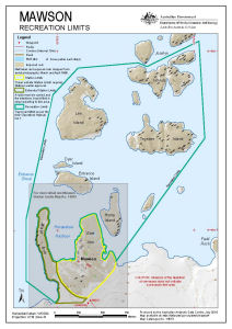
| 14510 | Mawson: Recreation Limits | 2016 | 1 : 11 500 |
 |
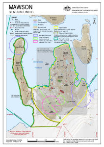
| 14509 | Mawson: Station Limits | 2016 | 1 : 5500 |
 |
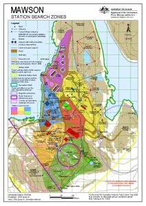
| 13522 | Mawson: Station Search Zones | 2008 | 1 : 3000 |
 |
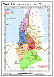
| 13792 | Mawson: Station Search Zones | 2010 | 1 : 3000 |
 |
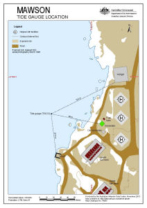
| 14263 | Mawson: Tide Gauge Location | 2013 | 1 : 1000 |
 |
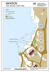
| 13639 | Mawson: Tide Gauge Locations | 2009 | 1 : 1000 |
 |
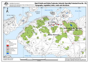
| 13512 | North-east Bailey Peninsula, Antarctic Specially Protected Area No. 135 : Topography, vegetation, birds, roads and structures (Map B) | 2008 | 1 : 12 000 |
 |
| 14057 | Preliminary - Mawson Station Local Area Map | 1993 | 1 : 25 000 |
 |
| 5198 | Puertos en el Territorio Antartico Chileno: Bahia Neny | 1969 | 1 : 20 000 |