NMS174 station information
Station identification
- Primary name
- NMS174
Locality
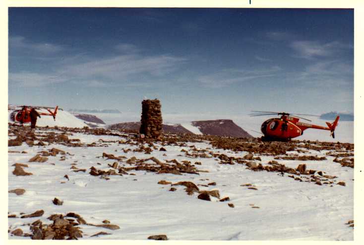
Barkell Platform
View place name details in the gazetteer
Type
NGCP Control - Station 40061
This station is part of the Geoscience Australia National Geodetic Data Base - you will have to renavigate to the station page.
General
- Date last visited
-
No visits or not recorded (if present then see metadata record)
- Date last maintained
- Location details
| Coordinates |
| Datum | Latitude | Longitude | Accuracy (m) | Order | Grid | Easting | Northing | Date released | Status |
| ITRF2000 |
-72° 41' 26.787300"
-72.69077425 |
68° 11' 8.556940"
68.18571026 |
1.2 |
|
42 |
472959.040 |
1933831.240 |
16-Aug-2001 |
Current |
| ITRF96 |
-72° 41' 26.799260"
-72.69077757 |
68° 11' 8.625183"
68.18572922 |
|
3 |
42 |
472959.670 |
1933830.880 |
|
Superseded |
| ITRF96 |
-72° 41' 26.799260"
-72.69077757 |
68° 11' 8.625183"
68.18572922 |
|
3 |
42 |
472959.670 |
1933830.880 |
|
Current |
| WGS84 |
-72° 41' 26.362600"
-72.69065628 |
68° 11' 11.213170"
68.18644810 |
|
3 |
42 |
472983.360 |
1933844.730 |
|
Current |
| WGS84 |
-72° 41' 26.362600"
-72.69065628 |
68° 11' 11.213170"
68.18644810 |
|
3 |
42 |
472983.360 |
1933844.730 |
|
Superseded |
|
Orthometric
Heights |
| Datum | Height (m) | Accuracy (m) | Order | Date released | Status |
| |
1286 |
|
|
|
Current |
|
| Documents |
|
There are no nearby stations within 0.25 degrees of this station.