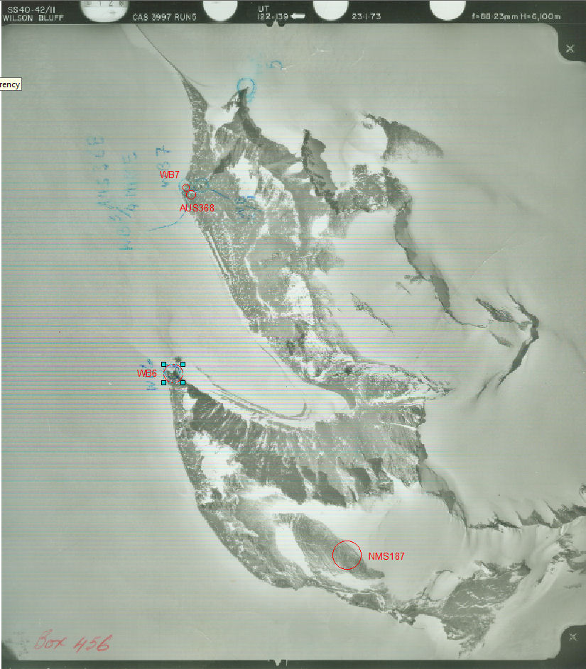
NMS187 station information
Station identification
- Primary name
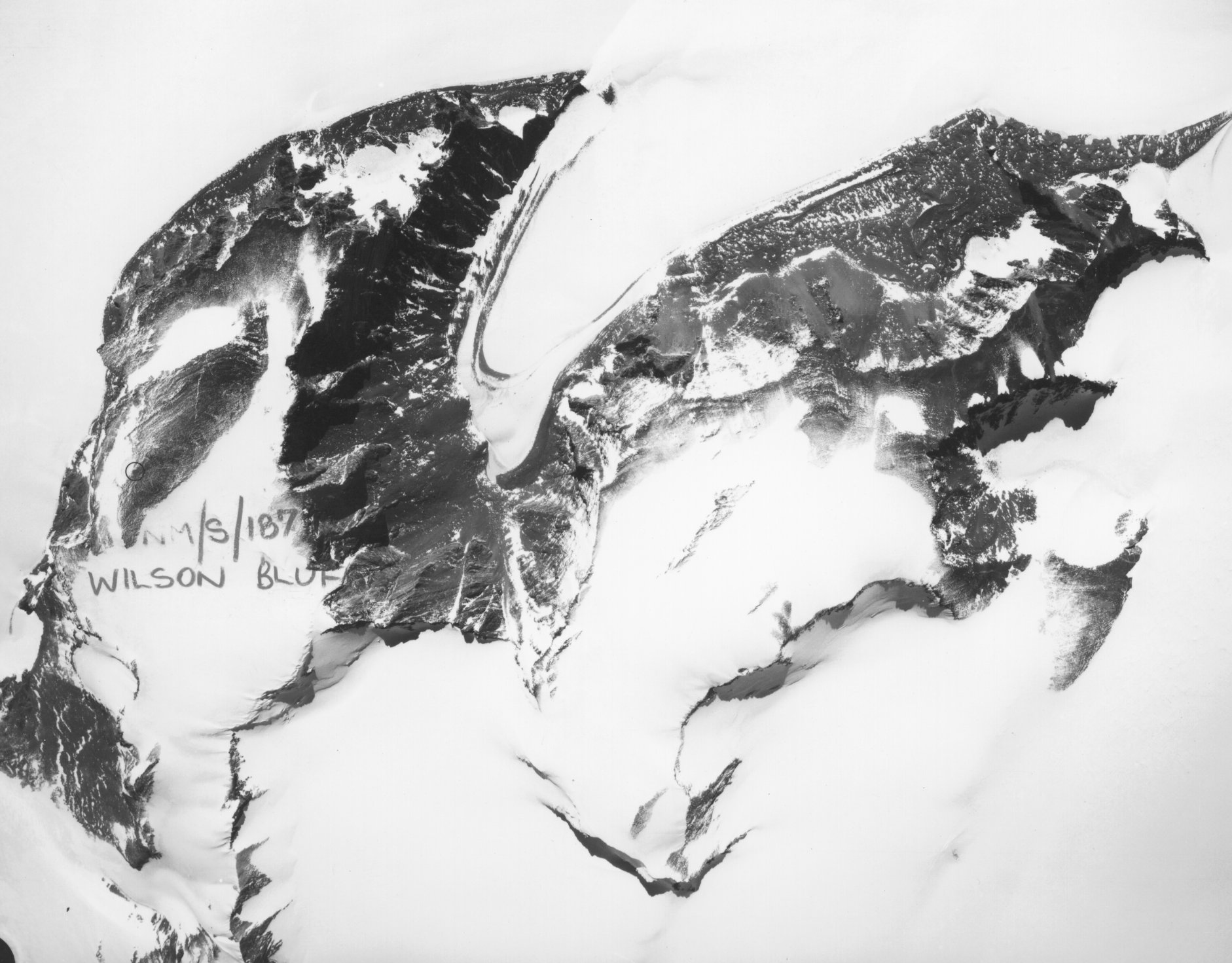
- NMS187
Locality
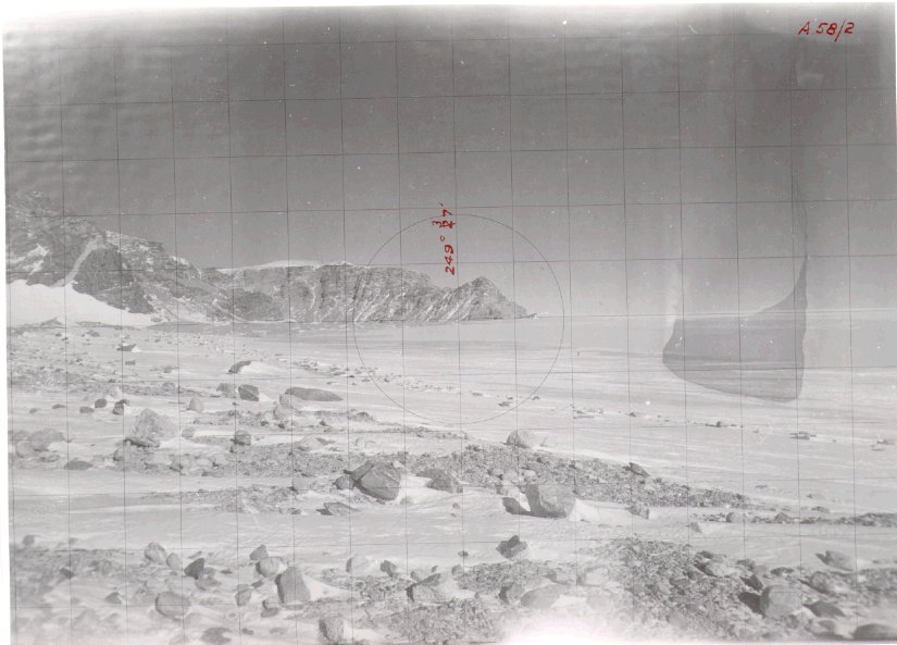
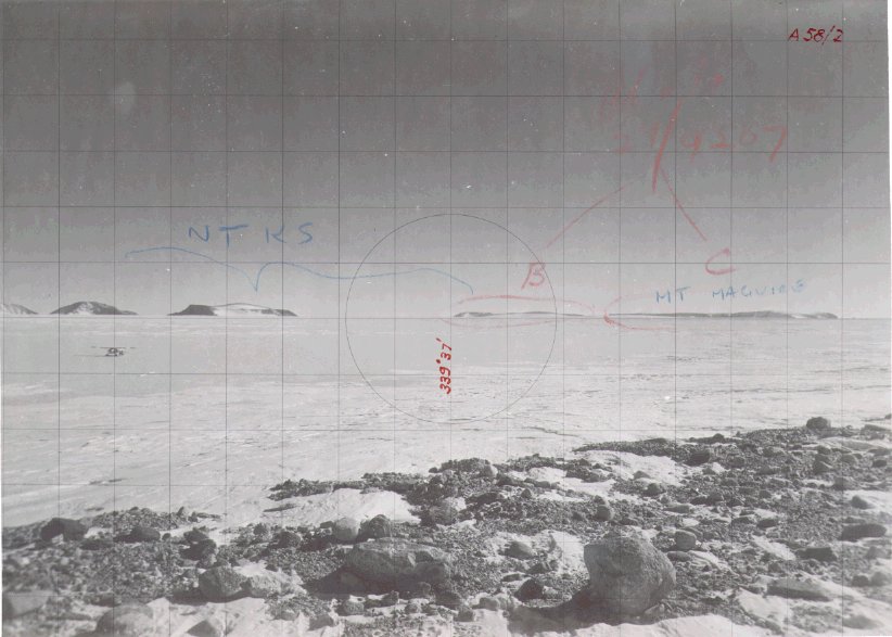
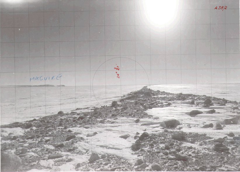
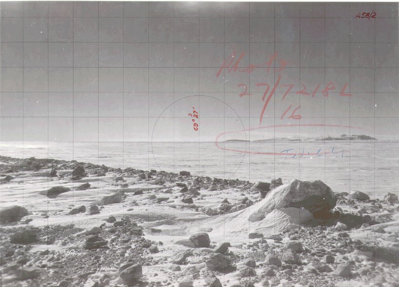
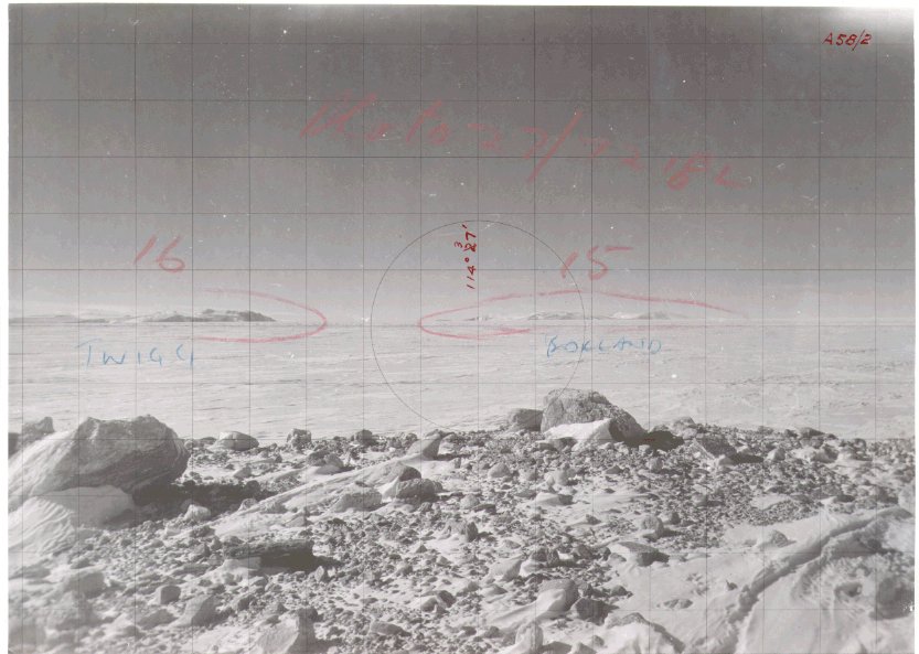
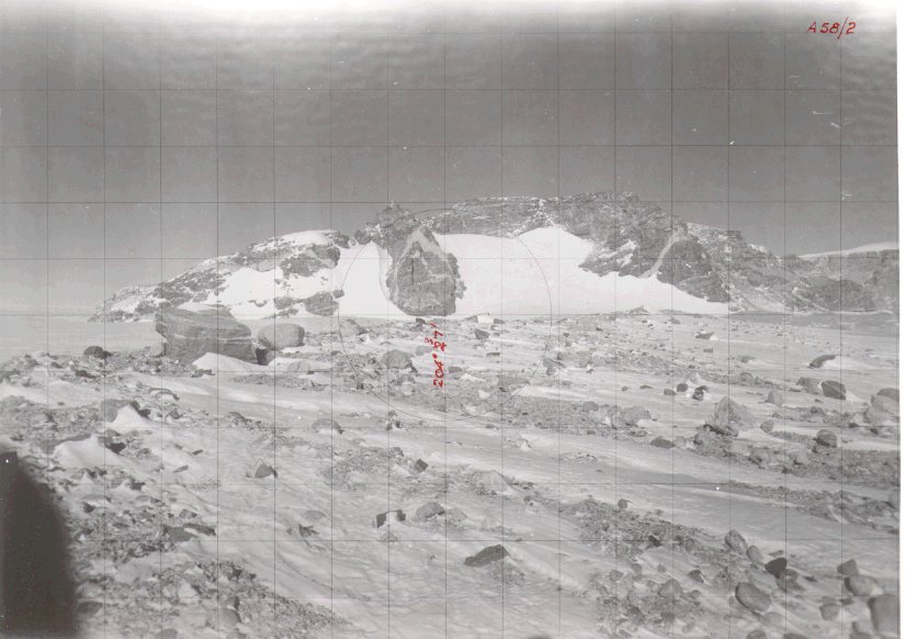
Wilson Bluff
View place name details in the gazetteer
Type
NGCP Control - Station 40072
This station is part of the Geoscience Australia National Geodetic Data Base - you will have to renavigate to the station page.
General
- Metadata
- survey_2003_04 - Survey report 2003/04 summer season Australian Antarctic Division Author - Adrian Corvino / University of Melbourne
- Mark description
- Geodetic mark in bedrock
- Date last visited
- No visits or not recorded (if present then see metadata record)
- Date last maintained
- Location details
| Coordinates |
| ||||||||||||||||||||||||||||||||||||||||||||||||||||||||||||
| Orthometric Heights |
| ||||||||||||||||||||||||||||||||||||||||||||||||||||||||||||
| Documents |
|
There are no nearby stations within 0.25 degrees of this station.