NMS218 station information
Station identification
- Primary name
- NMS218
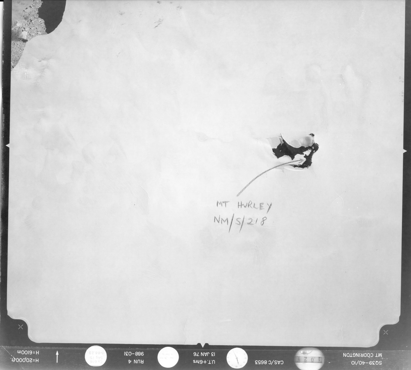
Locality
Hurley
Type
NGCP Control - Station 40201
This station is part of the Geoscience Australia National Geodetic Data Base - you will have to renavigate to the station page.
General
- Date last visited
-
No visits or not recorded (if present then see metadata record)
- Date last maintained
- Location details
| Coordinates |
| Datum | Latitude | Longitude | Accuracy (m) | Order | Grid | Easting | Northing | Date released | Status |
| ITRF2000 |
-66° 17' 32.182640"
-66.29227296 |
51° 19' 6.949060"
51.31859696 |
2.5 |
|
39 |
514294.290 |
2647475.370 |
16-Aug-2001 |
Current |
| ITRF96 |
-66° 17' 32.182367"
-66.29227288 |
51° 19' 6.947643"
51.31859657 |
|
4 |
39 |
514294.280 |
2647475.380 |
|
Current |
| ITRF96 |
-66° 17' 32.182367"
-66.29227288 |
51° 19' 6.947643"
51.31859657 |
|
4 |
39 |
514294.280 |
2647475.380 |
|
Superseded |
| WGS84 |
-66° 17' 32.182050"
-66.29227279 |
51° 19' 6.960720"
51.31860020 |
|
4 |
39 |
514294.440 |
2647475.390 |
|
Superseded |
| WGS84 |
-66° 17' 32.182050"
-66.29227279 |
51° 19' 6.960720"
51.31860020 |
|
4 |
39 |
514294.440 |
2647475.390 |
|
Current |
|
Orthometric
Heights |
| Datum | Height (m) | Accuracy (m) | Order | Date released | Status |
| |
560.4 |
|
|
|
Current |
|
| Documents |
|
There are no nearby stations within 0.25 degrees of this station.