Name details
Berkley Island
Berkley Island (The name as it would appear in a gazetteer)
Berkley Island (The name as it would appear on a map)
If this information is incorrect, please e-mail mapping@aad.gov.au
Feature type: Island (5)
Origin
This name originates from United States of America. It is part of the United States Gazetteer and the SCAR Composite Gazetteer of Antarctica.
Names that other countries have for this feature:
- Berkley Island (Australia)
- Berkley Island (Russia)
Narrative
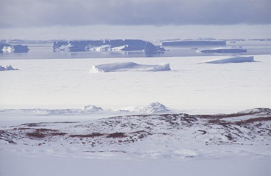
Island, 0.5 mi long, which marks the NE end of the Swain Islands. First mapped from air photos taken by USN Operation HighJump, 1946-47, and included in a survey of Swain Islands in 1957 by Wilkes Station personnel under C.R. Eklund. Named by Eklund for Richard J. Berkley, geomagnetician with the US-IGY wintering party of 1957 at Wilkes Station.
Named For
Location
Images
©AAD, Copyright Commonwealth of Australia 1998
- Catalogue id
- 3426B6
- Photographer
- Dixon, Grant
Map
Source
Comments
NoneApproval status
Display Scales
For example, selecting 'Aus_display_scale_20M' would only return names that would appear on a 1:20 million scale map.
| Aus_display_scale_20M: | No | Aus_display_scale_10M: | No | ||
| Aus_display_scale_5M: | No | Aus_display_scale_2M: | No | ||
| Aus_display_scale_1M: | No | Aus_display_scale_500k: | No | ||
| Aus_display_scale_250k: | No | Aus_display_scale_100k: | No | ||
| Aus_display_scale_50k: | No | Aus_display_scale_25k: | No | ||
| Aus_display_scale_10k: | No | Aus_display_scale_5k: | No | ||
| Aus_display_scale_1k: | No |
Related information
Biodiversity
View
fauna,
flora or
both
within 1.0 degree of this location
Place names
View
American or
international
place names within 1.0 degree of this location.