Name details
Frazier Islands
Frazier Islands (The name as it would appear in a gazetteer)
Frazier Islands (The name as it would appear on a map)
If this information is incorrect, please e-mail mapping@aad.gov.au
Feature type: Island (5)
Origin
This name originates from United States of America. It is part of the United States Gazetteer and the SCAR Composite Gazetteer of Antarctica.
Names that other countries have for this feature:
- Frazier Islands (Australia)
- Frazier Islands (Russia)
Narrative
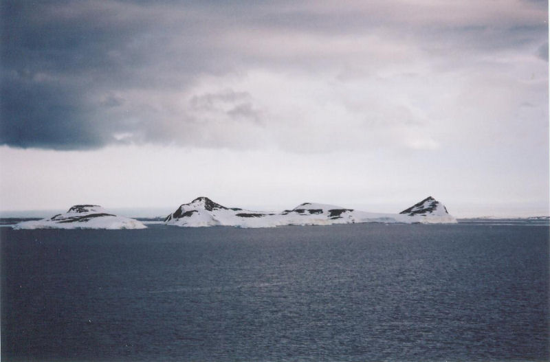
A group of four rocky islands in the eastern part of Vincennes Bay, 8 mi WNW of Clark Peninsula. The islands were first photographed from the air by USN Operation HighJump, 1946-47. Named by US-ACAN for Cdr. Paul W. Frazier, USN, navigator and projects officer with USN Operation Windmill which visited this area in January 1948, who later served as operations officer with USN OpDFrz I at Little America V.
Named For
Location
Images
©David Smith 2005
- Catalogue id
- IA16629
- Caption
- Frazier Islands from the west
- Photographer
- Smith, David
Map
Source
Comments
NoneApproval status
Display Scales
For example, selecting 'Aus_display_scale_20M' would only return names that would appear on a 1:20 million scale map.
| Aus_display_scale_20M: | No | Aus_display_scale_10M: | No | ||
| Aus_display_scale_5M: | No | Aus_display_scale_2M: | No | ||
| Aus_display_scale_1M: | No | Aus_display_scale_500k: | No | ||
| Aus_display_scale_250k: | No | Aus_display_scale_100k: | No | ||
| Aus_display_scale_50k: | No | Aus_display_scale_25k: | No | ||
| Aus_display_scale_10k: | No | Aus_display_scale_5k: | No | ||
| Aus_display_scale_1k: | No |
Related information
Biodiversity
View
fauna,
flora or
both
within 1.0 degree of this location
Place names
View
American or
international
place names within 1.0 degree of this location.