Cape Folger
Folger, Cape (The name as it would appear in a gazetteer)
Cape Folger (The name as it would appear on a map)
If this information is incorrect, please e-mail mapping@aad.gov.au
Place ID: 4782
Name ID: 125244
Feature type:
Cape
(8)
Origin
This name originates from United States of America.
It is part of the
United States Gazetteer and the SCAR Composite Gazetteer of Antarctica.
Names that other countries have for this feature:
Narrative
An ice-covered cape forming the E side of the entrance to Vincennes Bay on Budd Coast. The position of Cape Folger correlates closely with the W end of Wilkes' "Budd's High Land," as charted as a coastal landfall by the USEE in 1840. Mapped from aerial photographs taken by USN Operation HighJump, 1946-47, and named by the US-ACAN for Cdr. Edward C. Folger, Jr., USN, commander of the icebreaker astronomical control stations in the Windmill Islands, close SW in Vincennes Bay.
Named For
Location
Latitude:
66° 08' 00.0" S
-66.13333°
Unknown precision
Longitude:
110° 44' 00.0" E
110.73333°
Unknown precision
Altitude:
Not recorded
Unknown precision
Images
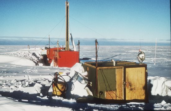
©AAD, Copyright Commonwealth of Australia 1969
- Catalogue id
- 703D4
- Photographer
- Saunders, Lynn N
Map
Source
Source Institution:
Unknown
Source Publisher:
Unknown
Remote sensing:
Not Applicable
Comments
None
Approval status
Date approved:
1-Jan-1955
Related information