Cape Folger
Folger, Cape (The name as it would appear in a gazetteer)
Cape Folger (The name as it would appear on a map)
If this information is incorrect, please e-mail mapping@aad.gov.au
Place ID: 4782
Name ID: 298
Feature type:
Cape
Origin
This name originates from Australia.
It is part of the
Australian Antarctic Gazetteer and the SCAR Composite Gazetteer of Antarctica.
Names that other countries have for this feature:
Narrative
An ice cape, about 19 km NNE of Casey Station. The region was photographed by USN Operation Highjump (1946-47), ANARE (1956) and the Soviet Antarctic Expedition (1956). Named after Commander E C Folger, USN commander of USS Edisto, which took part in USN Operation Windmill (1947-48).
Named For
Location
Latitude:
66° 07' 52.7" S
-66.13131°
Accurate to 30m
Longitude:
110° 44' 42.0" E
110.74500°
Accurate to 30m
Altitude:
Not recorded
Accurate to 5m
Images
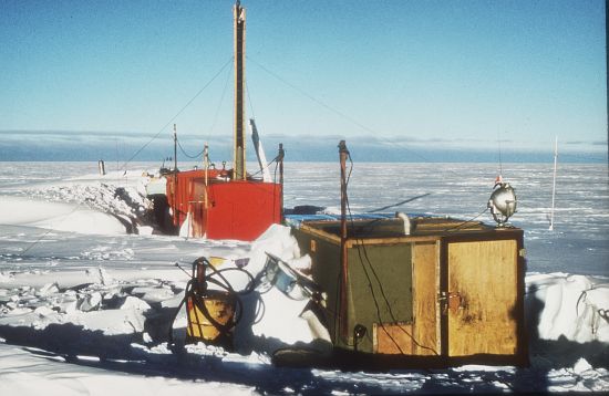
©AAD, Copyright Commonwealth of Australia 1969
- Catalogue id
- 703D4
- Photographer
- Saunders, Lynn N
Map
Source
Source Name:
Windmill Islands 1:50000 GIS Dataset
Source Identifier:
Wind50K
Source Institution:
Australian Antarctic Division
Source Publisher:
Australian Antarctic Division
Remote sensing:
Not Applicable
Comments
None
Approval status
Related information