Hippo Island
Hippo Island (The name as it would appear in a gazetteer)
Hippo Island (The name as it would appear on a map)
If this information is incorrect, please e-mail mapping@aad.gov.au
Place ID: 6405
Name ID: 126545
Feature type:
Island
(5)
Origin
This name originates from United States of America.
It is part of the
United States Gazetteer and the SCAR Composite Gazetteer of Antarctica.
Names that other countries have for this feature:
Narrative
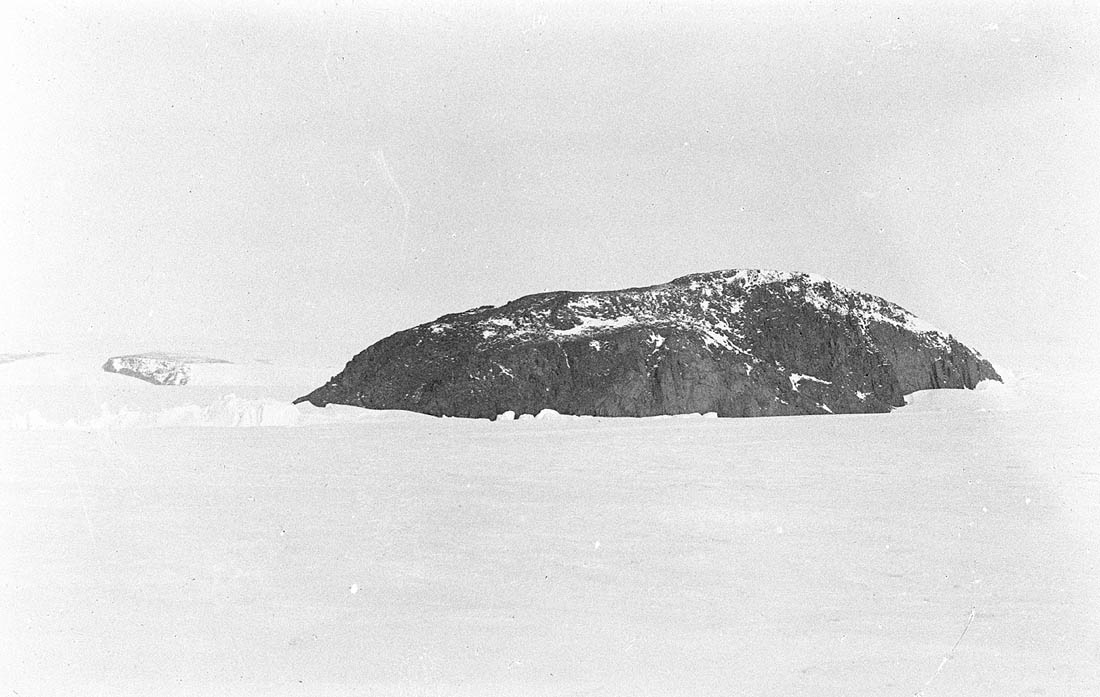
Steep, rocky island, 0.5 mi long, which rises above Shackleton Ice Shelf 1.5 mi N of Delay Point. Discovered by the Western Base Party of the AAE under Mawson, 1911-l4, who so named it because of its shape.
Named For
Location
Latitude:
66° 25' 00.0" S
-66.41667°
Unknown precision
Longitude:
98° 10' 00.0" E
98.16667°
Unknown precision
Altitude:
Not recorded
Unknown precision
Images
©Dr. ANdrew Watson 1912
- Catalogue id
- IA16638
- Caption
- Hippo Island from the north. Delay Point, on the coast of the mainland, is seen in the distance on the left.
- Photographer
- Watson, Andrew
Map
Source
Source Institution:
Unknown
Source Publisher:
Unknown
Remote sensing:
Not Applicable
Comments
None
Approval status
Date approved:
1-Jan-1963
Related information