Penney Bay
Penney Bay (The name as it would appear in a gazetteer)
Penney Bay (The name as it would appear on a map)
If this information is incorrect, please e-mail mapping@aad.gov.au
Place ID: 11082
Name ID: 130003
Feature type:
Bay
(3)
Origin
This name originates from United States of America.
It is part of the
United States Gazetteer and the SCAR Composite Gazetteer of Antarctica.
Names that other countries have for this feature:
Narrative
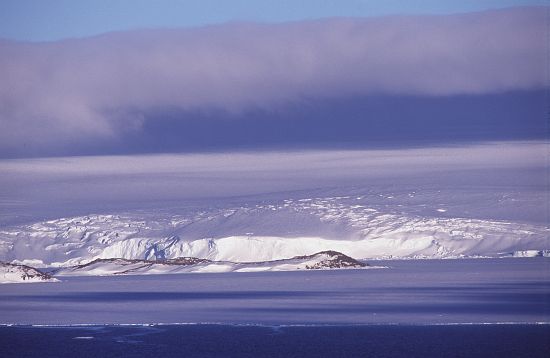
A large bay extending from Robinson Ridge to Browning Peninsula, at the E side of the Windmill Islands. First mapped from air photos taken by USN Operation HighJump, 1946-47. Named by US-ACAN for Richard L. Penney, ornithologist and biologist at Wilkes Station in 1959 and 1960.
Named For
Location
Latitude:
66° 26' 00.0" S
-66.43333°
Unknown precision
Longitude:
110° 36' 00.0" E
110.60000°
Unknown precision
Altitude:
Not recorded
Unknown precision
Images
©AAD, Copyright Commonwealth of Australia 1998
- Catalogue id
- 3435C6
- Photographer
- Dixon, Grant
Map
Source
Source Institution:
Unknown
Source Publisher:
Unknown
Remote sensing:
Not Applicable
Comments
None
Approval status
Date approved:
1-Jan-1963
Related information