Corry Massif
Corry Massif (The name as it would appear in a gazetteer)
Corry Massif (The name as it would appear on a map)
If this information is incorrect, please e-mail mapping@aad.gov.au
Place ID: 3014
Name ID: 1310
Feature type:
Massif
Origin
This name originates from Australia.
It is part of the
Australian Antarctic Gazetteer and the SCAR Composite Gazetteer of Antarctica.
Names that other countries have for this feature:
Narrative
A large massif about 6.5 km north-west of Crohn Massif in the Porthos Range, Prince Charles Mountains. The northern side of the massif is marked by an unusual moraine pattern. Recorded on terrestrial photographs taken by R H Lacey, surveyor at Mawson in 1955, and on aerial photographs by ANARE in 1959 and 1965. Named after Max J Corry, surveyor at Mawson in 1965.
Altitude is at southern end of the massif - survey station NMS176.
Named For
Location
Latitude:
70° 26' 10.0" S
-70.43611°
Accurate to 200m
Longitude:
64° 37' 31.4" E
64.62539°
Accurate to 200m
Altitude:
2065 m
Accurate to 30m
Images
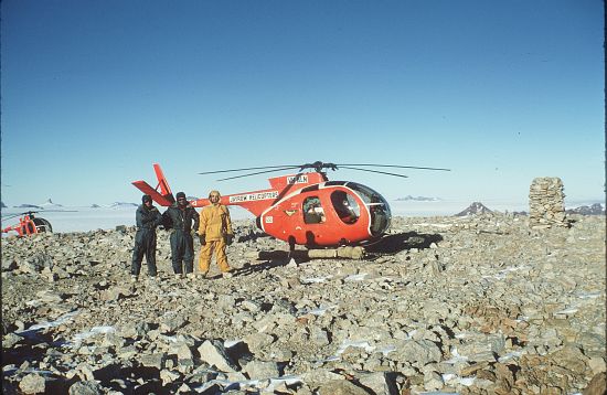
©AAD, Copyright Commonwealth of Australia 1970
- Catalogue id
- 2017D3
- Photographer
- Manning, John
Map
Source
Location Method:
Satellite Image
Source Name:
LIMA - Landsat Image Mosaic Antarctica
Source Identifier:
Survey Control (
NMS176 - Corry Massif)
Source Institution:
Australian Antarctic FDivision
Source Publisher:
USGS - United Sates Geological Survey
Remote sensing:
Not Applicable
Comments
None
Approval status
Related information