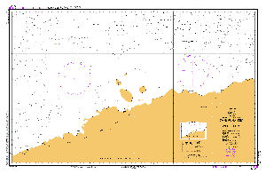
Map 11550: Aus 452 Australian Antarctic Territory - Cape Rundingen to Cape Filchner
Map details
| Map Number | 11550 |
| Title | Aus 452 Australian Antarctic Territory - Cape Rundingen to Cape Filchner |
| Edition | 1 |
| Scale | 1 : 500 000 |
| Publication date | 01 November 2002 |
| Publisher |
Hydrographic Service, Department of the Navy, Wollongong (Australia)
|
| Spatial coverage |
( 79.7500° -65.1167°)
,
( 92.1667° -65.1167°)
,
( 92.1667° -68.1750°)
( 79.7500° -68.1750°) |
| Projection | Mercator |
| Physical size | 73 x 110 cm |
| Reference | AUS 452 (M4), INT 9031, chart |
| Keywords | Aus 452 , Dubinin Trough , West Ice Shelf , Davis Sea , Leskov Island , Mikhaylov Island , Zavadovskiy Island , Int 9031 , Chart , Nautical , Chart |
Downloads
No downloads available.
This is a hard copy map. See information about obtaining copies of hard copy maps.
Map Lists
This map belongs to the following lists. Use the link on the list to see all maps belonging to that list
Additional Information
| Horizontal datum | WGS84 |
Preview