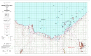
Map 13107: Framnes Mountains, MacRobertson Land, Antarctica. Sheet 1
Map details
| Map Number | 13107 |
| Title | Framnes Mountains, MacRobertson Land, Antarctica. Sheet 1 |
| Edition | 2 (Out of Date) |
| Previous edition | [Previous edition : 1] |
| Next Edition | [Next Edition : 3] |
| Scale | 1 : 50 000 |
| Publication date | September 2004 |
| Publisher |
Australian Antarctic Division (Australia)
|
| Spatial coverage |
( 62.1333° -67.4500°)
,
( 63.1333° -67.4500°)
,
( 63.1333° -67.7500°)
( 62.1333° -67.7500°) |
| Projection | Transverse Mercator |
| Physical size | 64.5 x 106 cm |
| Keywords | Framnes Mountains , Casey Range , Mawson Station , Forbes Glacier , Spa 2 , Mount Henderson , Fischer Nunatak , Goldsworthy Ridge , Holme Bay , Topographic |
Downloads
This is a digital map available for downloading.
Map Lists
This map belongs to the following lists. Use the link on the list to see all maps belonging to that list
Additional Information
| Horizontal datum | WGS84 |
| Vertical datum | Mean sea level |
| Magnetic variation | 66 deg. west of north |
Preview