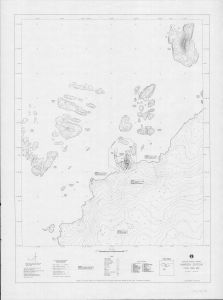
Map 13132: Mawson Station local area map
Map details
| Map Number | 13132 |
| Title | Mawson Station local area map |
| Edition | 1 (Out of Date) |
| Next Edition | [Next Edition : 2] |
| Scale | 1 : 10 000 |
| Publication date | January 1992 |
| Publisher |
Australian Surveying and Land Information Group, Department of Administrative Services, Canberra (Australia)
|
| Spatial coverage |
( 62.8222° -67.5500°)
,
( 62.9500° -67.5500°)
,
( 62.9500° -67.6333°)
( 62.8222° -67.6333°) |
| Projection | Universal Transverse Mercator |
| Physical size | 122.5 x 91 cm |
| Keywords | Mawson Station , Local Area , Survey Marks , Topographic |
Downloads
This is a hard copy map that has been scanned. See information about obtaining copies of hard copy maps.
Map Lists
No maps lists available.
Additional Information
| Horizontal datum | WGS84 |
| Vertical datum | Mean sea level |
Preview