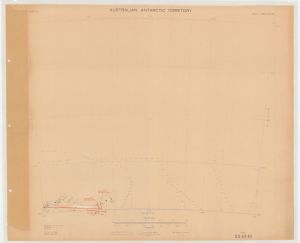
Map 13857: Aerial Photography Flight Lines from Operation Highjump 1946/47 on map SQ 42-43
Map details
| Map Number | 13857 |
| Title | Aerial Photography Flight Lines from Operation Highjump 1946/47 on map SQ 42-43 |
| Edition | - |
| Scale | 1 : 1 000 000 |
| Publication date | 1947 |
| Publisher |
United States Armed Forces (United States of America)
|
| Spatial coverage |
( 66.0000° -64.0000°)
,
( 78.0000° -64.0000°)
,
( 78.0000° -68.0000°)
( 66.0000° -68.0000°) |
| Projection | Lambert Conformal Conic |
| Physical size | 55.5 x 68.5 cm |
| Notes | For the latest flight line information refer to the Aerial Photograph Catalogue |
| Keywords | Highjump , Aerial Photography , Flight Lines |
Downloads
This is a hard copy map that has been scanned. See information about obtaining copies of hard copy maps.
Map Lists
No maps lists available.
Additional Information
| Vertical unit | Metres |
Preview