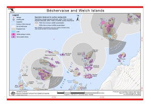
Map 13904: Béchervaise and Welch Islands (Helicopter Operations)
Map details
| Map Number | 13904 |
| Title | Béchervaise and Welch Islands (Helicopter Operations) |
| Edition | 3 |
| Previous edition | [Previous edition : 2] |
| Scale | 1 : 37 500 |
| Publication date | May 2011 |
| Publisher | - |
| Spatial coverage |
( 62.7564° -67.5496°)
,
( 62.9827° -67.5496°)
,
( 62.9827° -67.6006°)
( 62.7564° -67.6006°) |
| Projection | Universal Transverse Mercator |
| Physical size | 21 x 29.7 cm A4 |
| Keywords | - |
Downloads
This is a digital map available for downloading.
Map Lists
This map belongs to the following lists. Use the link on the list to see all maps belonging to that list
Additional Information
| Horizontal datum | WGS84 |
| Vertical datum | Mean sea level |
| Nomenclature | Australian Antarctic Names Gazetteer |
Preview