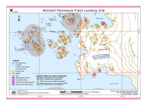
Map 14027: Mitchell Peninsula Field Landing Site
Map details
| Map Number | 14027 |
| Title | Mitchell Peninsula Field Landing Site |
| Edition | 2 (Out of Date) |
| Previous edition | [Previous edition : 1] |
| Next Edition | [Next Edition : 3] |
| Scale | 1 : 45 000 |
| Publication date | June 2012 |
| Publisher |
Australian Antarctic Division (Australia)
|
| Spatial coverage |
(110.3567° -66.3017°)
,
(110.6150° -66.3017°)
,
(110.6150° -66.3633°)
(110.3567° -66.3633°) |
| Projection | Universal Transverse Mercator |
| Physical size | 21 x 29.7 cm A4 |
| Keywords | Cronk Islands , Hollin Island , Midgley Island , Ommundsen Island , Borrello Island , Denison Island , Blunn Island , Beall Issland , Robertson Channel , O'brien Bay , Warrington Island , Pidgeon Island , Sparkes Bay , Fixed Wing , Aeronautic |
Downloads
This is a digital map available for downloading.
Map Lists
No maps lists available.
Additional Information
| Horizontal datum | WGS84 |
| Vertical datum | Mean sea level |
Preview