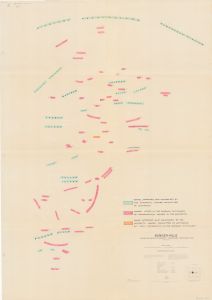
Map 14163: Bunger Hills
Map details
| Map Number | 14163 |
| Title | Bunger Hills |
| Edition | - |
| Scale | 1 : 50 000 |
| Publication date | 1988 |
| Publisher |
Australian Surveying and Land Information Group, Department of Administrative Services, Canberra (Australia)
|
| Spatial coverage |
(100.8733° -65.9333°)
,
(101.6433° -65.9333°)
,
(101.6433° -66.3500°)
(100.8733° -66.3500°) |
| Projection | Universal Transverse Mercator |
| Physical size | 100 x 71 cm |
| Notes | Includes names approved and confirmed by the Antarctic Names Committee of Australia; names listed in the Russian dictionary of geographical names in the Antarctic; and a name approved and confirmed by the Antarctic Names Committee of Australia but spelt differently in the Russian dictionary |
| Reference | NMP 87/005 57 |
| Keywords | Antarctic Names Committee Of Australia , place names , Bunger Hills |
Downloads
Map Lists
No maps lists available.
Additional Information
Preview