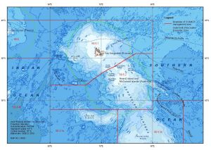
Map 14933: Kerguelen Plateau with Australian and French EEZs and CCAMLR management areas
Map details
| Map Number | 14933 |
| Title | Kerguelen Plateau with Australian and French EEZs and CCAMLR management areas |
| Edition | 2 |
| Scale | 1 : 9 300 000 |
| Publication date | May 2019 |
| Publisher |
Australian Antarctic Division (Australia)
|
| Spatial coverage |
( 52.0000° -43.0000°)
,
( 90.0000° -43.0000°)
,
( 90.0000° -60.0000°)
( 52.0000° -60.0000°) |
| Projection | Mercator |
| Physical size | 21 x 29.7 cm A4 |
| Notes |
Bathymetric data source: GEBCO Compilation Group (2019) GEBCO 2019 Grid (doi:10.5285/836f016a-33be-6ddc-e053-6c86abc0788e) The map uses Australia's limit of the Southern Ocean. |
| Keywords | - |
Downloads
This is a digital map available for downloading.
Map Lists
No maps lists available.
Additional Information
| Horizontal datum | WGS84 |
| Vertical unit | Metres |
Preview