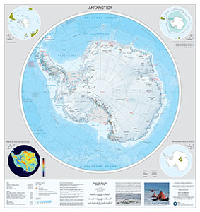
Map 15291: Antarctica
Map details
| Map Number | 15291 |
| Title | Antarctica |
| Edition | 4 |
| Previous edition | [Previous edition : 1] |
| Scale | 1 : 10 000 000 |
| Publication date | 2018 |
| Publisher |
British Antarctic Survey, Cambridge (United Kingdom)
|
| Spatial coverage |
(-180.0000° -60.0000°)
,
(180.0000° -60.0000°)
,
(180.0000° -90.0000°)
(-180.0000° -90.0000°) |
| Projection | Polar Stereographic |
| Physical size | 89 x 87.5 cm |
| Notes | This is side A of a double-sided map. A map of 'The Arctic' is on the reverse. For more information see https://www.bas.ac.uk/data/our-data/maps/topographic-maps/antarctica-and-the-arctic/ |
| Reference | BAS (Misc) 15A |
| Keywords | Antarctica , Topographic |
Downloads
No downloads available.
Map Lists
This map belongs to the following lists. Use the link on the list to see all maps belonging to that list
Additional Information
| Horizontal datum | WGS84 |
| Vertical unit | Metres |
| Nomenclature | UK Antarctic Place-names gazetteer |
Preview