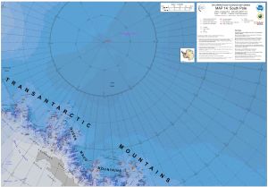
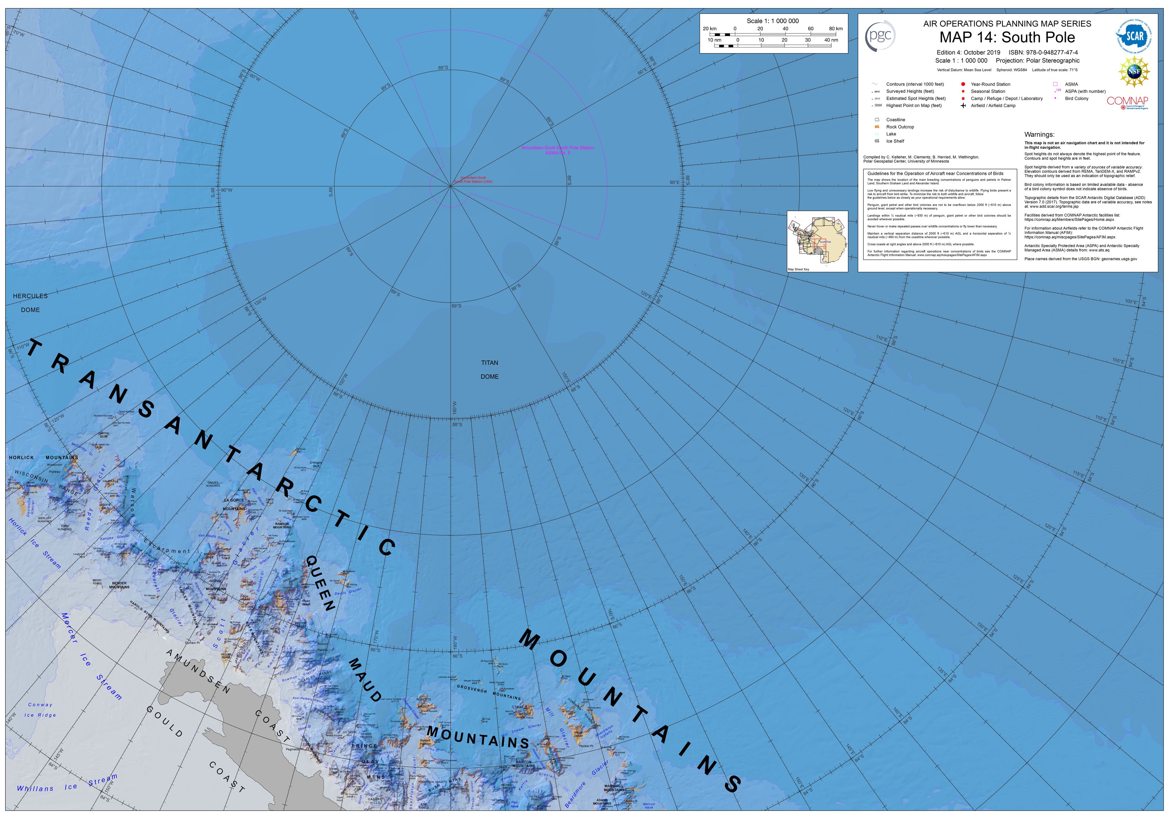
Map 15956: Map 14: South Pole
Map details
| Map Number | 15956 |
| Title | Map 14: South Pole |
| Edition | 4 |
| Scale | 1 : 1 000 000 |
| Publication date | October 2019 |
| Publisher |
Polar Geospatial Center (United States of America)
|
| Spatial coverage |
(-144.4623° -83.6771°)
,
( 75.9638° -83.6771°)
,
( 75.9638° -83.4046°)
(-144.4623° -83.4046°) |
| Projection | Polar Stereographic |
| Physical size | 76.2 x 109.2 cm |
| Reference |
ISBN: 978-0-948277-47-4 PGC: ANT NAV-OT2017-022 |
| Alternative title | Air Operations Planning Maps |
| Keywords | - |
Downloads
This is a digital map available for downloading.
- A large preview image (JPEG)
- PGC web page with map details
- A print file (PDF)
- A tiff image
- A zipped file containing a geotiff image
Map Lists
This map belongs to the following lists. Use the link on the list to see all maps belonging to that list
Additional Information
| Vertical unit | Feet |
| Nomenclature | USGS GNIS |
Preview