Map 2969: Mirny Road
Map details
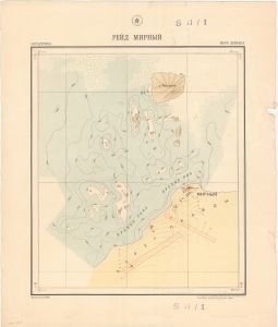
| Map Number | 2969 |
| Title | Mirny Road |
| Edition | - |
| Scale | 1 : 17 500 |
| Publication date | 1956 |
| Publisher |
Administration of the Chief of the Naval Hydrographic Service (Russia)
|
| Spatial coverage |
( 92.9183° -66.5161°)
,
( 93.0533° -66.5161°)
,
( 93.0533° -66.5789°)
( 92.9183° -66.5789°) |
| Projection | Mercator |
| Physical size | - |
| Keywords | Mirny Road , Nautical |
Downloads
This is a hard copy map that has been scanned. See information about obtaining copies of hard copy maps.
Map Lists
No maps lists available.
Additional Information
Preview