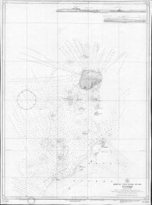
Map 2970: Indian Ocean, Antarctic Coast, Davis Sea. Mirny Road
Map details
| Map Number | 2970 |
| Title | Indian Ocean, Antarctic Coast, Davis Sea. Mirny Road |
| Edition | - |
| Scale | 1 : 10 000 |
| Publication date | July 1958 |
| Publisher |
Administration of the Chief of the Naval Hydrographic Service (Russia)
|
| Spatial coverage |
( 92.9167° -66.4833°)
,
( 93.0667° -66.4833°)
,
( 93.0667° -66.5667°)
( 92.9167° -66.5667°) |
| Projection | Mercator |
| Physical size | - |
| Notes | Dyeline copy only - original held at the National Library of Australia |
| Reference | 5985 |
| Keywords | Indian Ocean , Antarctic Coast , Davis Sea , Mirny Road |
Downloads
No downloads available.
Map Lists
No maps lists available.
Additional Information
Preview