Map 3558: Daniels Range
Map details
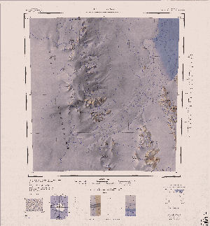
| Map Number | 3558 |
| Title | Daniels Range |
| Edition | 1 |
| Scale | 1 : 250 000 |
| Publication date | 1970 |
| Publisher |
US Geological Survey (United States of America)
|
| Spatial coverage |
(159.0000° -71.0000°)
,
(162.0000° -71.0000°)
,
(162.0000° -72.0000°)
(159.0000° -72.0000°) |
| Projection | Lambert Conformal Conic |
| Physical size | - |
| Notes | Antarctica 1:250,000 reconnaissance series |
| Reference | SR 57-58/14 |
| Keywords | Daniels Range , Usarp Mountains , Gressitt Glacier , Morozumi Range , Helliwell Hills , Topographic |
Downloads
Map Lists
This map belongs to the following lists. Use the link on the list to see all maps belonging to that list
Additional Information
| Vertical datum | Mean Sea Level |
| Nomenclature | U.S Board on Geographic Names |
Preview