Map 427: Macquarie Island Plotsheet (Sheet 1 of 2)
Map details
| Map Number | 427 |
| Title | Macquarie Island Plotsheet (Sheet 1 of 2) |
| Edition | - |
| Scale | 1 : 50 000 |
| Publication date | January 1982 |
| Publisher |
Australia
|
| Spatial coverage |
(158.5833° -54.2500°)
,
(159.0833° -54.2500°)
,
(159.0833° -54.7500°)
(158.5833° -54.7500°) |
| Projection | Transverse Mercator |
| Physical size | 139.5 x 84 cm |
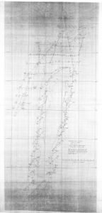
| Notes |
Tracking plots. Coastline delineation: Radar radiations were made from several anchored positions and whilst underway. Some reflections were from outlying rocks. |
| Reference | Natmap Sheet 1, 5458/12, 304/12 |
| Keywords | - |
Downloads
This is a hard copy map that has been scanned. See information about obtaining copies of hard copy maps.
Map Lists
No maps lists available.
Additional Information
Preview