Map 5136: Larsemann Hills Survey Control
Map details
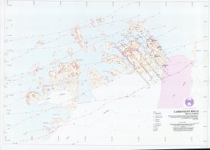
| Map Number | 5136 |
| Title | Larsemann Hills Survey Control |
| Edition | 1 |
| Scale | 1 : 25 000 |
| Publication date | May 1998 |
| Publisher |
Australian Antarctic Division (Australia)
|
| Spatial coverage |
( 75.9160° -69.3160°)
,
( 76.6330° -69.3160°)
,
( 76.6330° -69.5000°)
( 75.9160° -69.5000°) |
| Projection | Universal Transverse Mercator |
| Physical size | - |
| Notes | Printer Run only |
| Keywords | - |
Downloads
This is a hard copy map that has been scanned. See information about obtaining copies of hard copy maps.
Map Lists
No maps lists available.
Additional Information
Preview