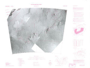
Map 5273: Ritscherhochland
Map details
| Map Number | 5273 |
| Title | Ritscherhochland |
| Edition | Preliminary (Out of Date) |
| Next Edition | [Next Edition : 2] |
| Scale | 1 : 1 000 000 |
| Publication date | 1986 |
| Publisher |
Institut fuer Angewandte Geodaesie (Germany)
|
| Spatial coverage |
( -18.0000° -72.0000°)
,
( 0.0000° -72.0000°)
,
( 0.0000° -76.0000°)
( -18.0000° -76.0000°) |
| Projection | Lambert Conformal Conic |
| Physical size | 68 x 90 cm |
| Notes | Insets: location diagram, geographical names diagram |
| Reference | SS 28-30 |
| Alternative title | Ritscher Upland |
| Keywords | Ritscher Upland , Ritscherhochland , Ss 28-30 , Ss28-30 , Survey Marks , Satellite Imagery |
Downloads
No downloads available.
Map Lists
No maps lists available.
Additional Information
| Horizontal datum | WGS72 |
| Vertical datum | msl |
Preview