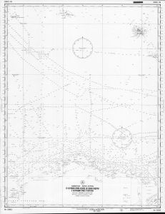
Map 5431: Indian Ocean, Antarctic Coast: Prince Edward Islands to Enderby Land, including Crozet and Kerguelen Islands
Map details
| Map Number | 5431 |
| Title | Indian Ocean, Antarctic Coast: Prince Edward Islands to Enderby Land, including Crozet and Kerguelen Islands |
| Edition | - |
| Scale | 1 : 2 500 000 |
| Publication date | July 1958 |
| Publisher |
Administration of the Chief of the Naval Hydrographic Service (Russia)
|
| Spatial coverage |
( 36.0000° -45.0000°)
,
( 74.0000° -45.0000°)
,
( 74.0000° -70.5000°)
( 36.0000° -70.5000°) |
| Projection | Mercator |
| Physical size | - |
| Notes | Indian Ocean: Antarctic Coast: Prince Edward Islands to Enderby Land, including Crozet and Kerguelen Islands Dyeline copy only - original held at the National Library of Australia |
| Reference | 5993 |
| Alternative title | Indiyskiy Okean: Poberezh'e Antarktidy: Ot Ostrovov Prins-Eduard do Zemli Enderbi c Ostrovami Kroze I Kergelen. Large correction in September 1962 |
| Keywords | Enderby Land , Prince Edward Islands , Crozet , Kerguelen |
Downloads
No downloads available.
Map Lists
No maps lists available.
Additional Information
Preview