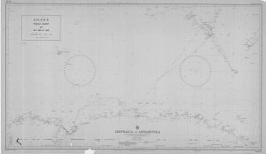
Map 566: A.N.A.R.E. Track Chart of M.S. Nella Dan December 1967 to April 1968
Map details
| Map Number | 566 |
| Title | A.N.A.R.E. Track Chart of M.S. Nella Dan December 1967 to April 1968 |
| Edition | - |
| Scale | 1 : 8 500 000 |
| Publication date | 1968 |
| Publisher |
Australian Antarctic Division (Australia)
|
| Spatial coverage |
( 43.0000° -31.0000°)
,
(173.0000° -31.0000°)
,
(173.0000° -72.0000°)
( 43.0000° -72.0000°) |
| Projection | Mercator |
| Physical size | - |
| Reference | Aus 401 |
| Keywords | Ship Tracks |
Downloads
This is a hard copy map that has been scanned. See information about obtaining copies of hard copy maps.
Map Lists
No maps lists available.
Additional Information
Preview