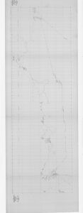
Map 627: Magga Dan Track Chart - 1961 / Scoble Glacier-Cape Poinsett
Map details
| Map Number | 627 |
| Title | Magga Dan Track Chart - 1961 / Scoble Glacier-Cape Poinsett |
| Edition | - |
| Scale | 1 : 1 000 000 |
| Publication date | 1961 |
| Publisher |
Department of National Development, Division of National Mapping (Australia)
|
| Spatial coverage |
( 60.0000° -63.0000°)
,
(115.0000° -63.0000°)
,
(115.0000° -70.0000°)
( 60.0000° -70.0000°) |
| Projection | Mercator |
| Physical size | 103 x 303 cm |
| Reference | NMP/61/225 |
| Keywords | Ship Tracks , Magga Dan , |
Downloads
This is a hard copy map that has been scanned. See information about obtaining copies of hard copy maps.
Map Lists
No maps lists available.
Additional Information
Preview