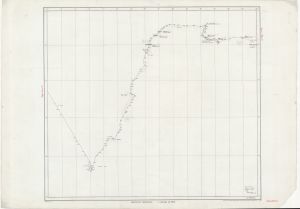
Map 688: A.N.A.R.E. Track Chart Thala Dan 1958 / Davis and Larsemann Hills [Sheet 10]
Map details
| Map Number | 688 |
| Title | A.N.A.R.E. Track Chart Thala Dan 1958 / Davis and Larsemann Hills [Sheet 10] |
| Edition | - |
| Scale | 1 : 1 000 000 |
| Publication date | 1958 |
| Publisher |
Australian Antarctic Division (Australia)
|
| Spatial coverage |
( 73.0000° -65.0000°)
,
( 88.0000° -65.0000°)
,
( 88.0000° -70.0000°)
( 73.0000° -70.0000°) |
| Projection | Mercator |
| Physical size | 70 x 100 cm |
| Notes | Adjoins sheets 9 and 11 - Includes areas of pack ice |
| Reference | Sheet 10 |
| Keywords | Ship Tracks |
Downloads
This is a hard copy map that has been scanned. See information about obtaining copies of hard copy maps.
Map Lists
No maps lists available.
Additional Information
Preview