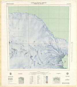
Map 78: Aker Peaks & Cape Borley, Enderby Land - Kemp Land
Map details
| Map Number | 78 |
| Title | Aker Peaks & Cape Borley, Enderby Land - Kemp Land |
| Edition | 1 |
| Scale | 1 : 250 000 |
| Publication date | September 1967 |
| Publisher | - |
| Spatial coverage |
( 54.0000° -65.7500°)
,
( 57.0000° -65.7500°)
,
( 57.0000° -67.0000°)
( 54.0000° -67.0000°) |
| Projection | Universal Transverse Mercator |
| Physical size | 71 x 67 cm |
| Notes | Aker Peaks & Cape Borley SQ 40-41/9 & Part 5 have been numbered according to a map numbering system adopted by Department of National Mapping in 1967 for the 1:250,000 series which is different from that adopted for the 1:1 million map series in 1974. The map should now be quoted as SQ 39-40/11 & Part 7 |
| Reference |
SQ 40-41/9 & 5 Cat.No:M14 in ANARE 1997 |
| Keywords | Aker , Peaks , Cape , Borley , Enderby , Land , Kemp , Napier , Mountains , Wilkinson , Peaks , Newman , Nunataks , Bird , Ridge , Nichols , Range , Seaton , Glacier , Wilson , King , Edward , Edward , Vii , Gulf , Downer , Plateau , Sq40-41/9 & 5 , Sq40-41/9 , Sq40-41/9 & Part5 , Sq40-41/9 & Part 5 , Sq39-40/11 & Part 7 , Sq39-40/11 & Part7 , Sq39-40/11 & 7 , Sq 39-40/11 , Topographic |
Downloads
This is a hard copy map that has been scanned. See information about obtaining copies of hard copy maps.
Map Lists
This map belongs to the following lists. Use the link on the list to see all maps belonging to that list
Additional Information
| Horizontal datum | International Spheroid |
| Nomenclature | Australian Antarctic Gazetteer |
Preview