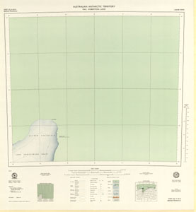
Map 79: Bjerko Peninsula, Mac.Robertson Land
Map details
| Map Number | 79 |
| Title | Bjerko Peninsula, Mac.Robertson Land |
| Edition | 1 |
| Scale | 1 : 250 000 |
| Publication date | March 1970 |
| Publisher | - |
| Spatial coverage |
( 69.0000° -67.0000°)
,
( 72.0000° -67.0000°)
,
( 72.0000° -68.0000°)
( 69.0000° -68.0000°) |
| Projection | Universal Transverse Mercator |
| Physical size | 65 x 60.5 cm |
| Notes | single sided |
| Reference |
SQ 41-42/16 Cat.No:M23 in 'ANARE Catalogue 1997' |
| Keywords | Bjerko , Peninsula , Mac , Mac , Robertson , Land , Lars , Christensen , Coast , Cape , Darnley , Sq41-42/16 , Topographic |
Downloads
This is a hard copy map that has been scanned. See information about obtaining copies of hard copy maps.
Map Lists
This map belongs to the following lists. Use the link on the list to see all maps belonging to that list
Additional Information
| Horizontal datum | International Spheroid |
| Vertical datum | MSL |
| Nomenclature | Australian Antarctic Gazetteer |
Preview