ANARE Catalogue of Maps and Hydrographic Charts 1997
View All Map ListsThe map below shows the extents of each map in this list Alt+Shift+Drag to rotate the map
Showing 81 to 85 of 85 maps. On page 5 of 5, go to the Previous Page
Wilson Bluff View Map Details
Map ID - 932
Published On - 1975 Scale - 1 : 250 000 Physical Size- 62 x 92.5 cm 
|
Windmill Islands / Wilkes Land View Map Details
Map ID - 5104
Published On - April-1997 Scale - 1 : 50 000 Physical Size- 98 x 69 cm 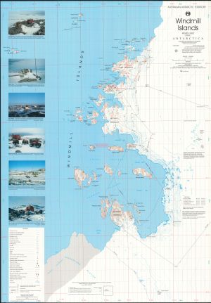
|
Windmill Islands, Wilkes Land View Map Details
Map ID - 13012
Published On - November-1989 Scale - 1 : 50 000 Physical Size- 88 x 96 cm 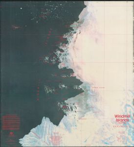
|
Windmill Islands, Wilkes Land View Map Details
Map ID - 13008
Published On - November-1989 Scale - 1 : 50 000 Physical Size- 96 x 88 cm 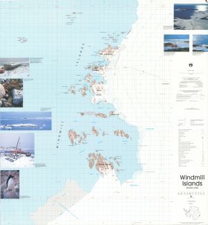
|
Windmill Islands, Wilkes Land View Map Details
Map ID - 10
Published On - December-1995 Scale - 1 : 50 000 Physical Size- 98 x 69 cm 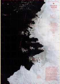
|
Showing 81 to 85 of 85 maps. On page 5 of 5, go to the Previous Page