NMS158 station information
Station identification
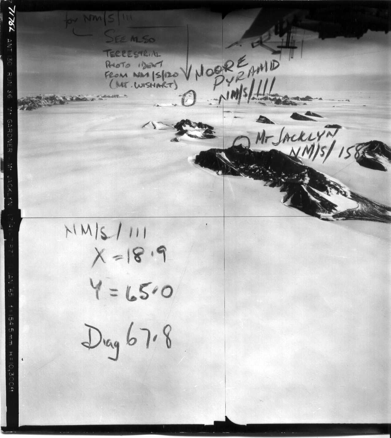
- Primary name
- NMS158
Locality
Mount Jacklyn
View place name details in the gazetteer
Type
NGCP Control - Station 40042
This station is part of the Geoscience Australia National Geodetic Data Base - you will have to renavigate to the station page.
General
- Date last visited
-
No visits or not recorded (if present then see metadata record)
- Date last maintained
- Location details
| Coordinates |
| Datum | Latitude | Longitude | Accuracy (m) | Order | Grid | Easting | Northing | Date released | Status |
| ITRF2000 |
-70° 16' 14.798220"
-70.27077728 |
65° 47' 19.675120"
65.78879864 |
2.3 |
|
41 |
605037.610 |
2201523.210 |
16-Aug-2001 |
Current |
| ITRF96 |
-70° 16' 14.798032"
-70.27077723 |
65° 47' 19.673323"
65.78879815 |
|
3 |
41 |
605037.590 |
2201523.220 |
|
Current |
| ITRF96 |
-70° 16' 14.798032"
-70.27077723 |
65° 47' 19.673323"
65.78879815 |
|
3 |
41 |
605037.590 |
2201523.220 |
|
Superseded |
| WGS84 |
-70° 16' 14.801780"
-70.27077827 |
65° 47' 19.677180"
65.78879922 |
|
3 |
41 |
605037.620 |
2201523.100 |
|
Superseded |
| WGS84 |
-70° 16' 14.801780"
-70.27077827 |
65° 47' 19.677180"
65.78879922 |
|
3 |
41 |
605037.620 |
2201523.100 |
|
Current |
|
Orthometric
Heights |
| Datum | Height (m) | Accuracy (m) | Order | Date released | Status |
| |
1557 |
|
4 |
|
Current |
|
| Documents |
|
There are no nearby stations within 0.25 degrees of this station.