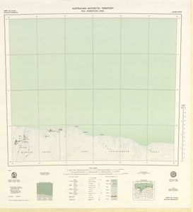
Map 103: Sheet SQ 41-42/15, Scullin Monolith, Australian Antarctic Territory, Mac. Robertson Land
Map details
| Map Number | 103 |
| Title | Sheet SQ 41-42/15, Scullin Monolith, Australian Antarctic Territory, Mac. Robertson Land |
| Edition | 1 |
| Scale | 1 : 250 000 |
| Publication date | March 1970 |
| Publisher |
Department of National Development, Division of National Mapping (Australia)
|
| Spatial coverage |
( 66.0000° -67.0000°)
,
( 69.0000° -67.0000°)
,
( 69.0000° -68.0000°)
( 66.0000° -68.0000°) |
| Projection | Universal Transverse Mercator |
| Physical size | 65 x 60.5 cm |
| Reference |
SQ41-42/15 Cat.No:M22 in 'ANARE Catalogue of Maps and Hydrographic Charts 1997' |
| Keywords | Scullin Monolith , Mac Robertson Land , Gustav Bull Mountains , Mawson Coast , Lars Christensen Coast , Murray Monolith , Mt Marsden , Mt Hinks , Mt Kennedy , Mt Rivett , Lawson Aiguilles , Neill Peak , Cape Rouse , Shallow Bay , Pt Williams , Sq41-42/15 , Survey Marks , Topographic |
Downloads
This is a hard copy map that has been scanned. See information about obtaining copies of hard copy maps.
Map Lists
This map belongs to the following lists. Use the link on the list to see all maps belonging to that list
- ANARE Catalogue of Maps and Hydrographic Charts 1997
- Scullin and Murray Monoliths
- 1:250 000 topographic maps
Additional Information
| Horizontal datum | International Spheroid |
| Nomenclature | Australian Antarctic Gazetteer |
Preview