Map 12738: Rookery Islands (SPA 2)
Map details
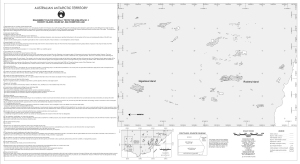
| Map Number | 12738 |
| Title | Rookery Islands (SPA 2) |
| Edition | 1 |
| Scale | 1 : 20 000 |
| Publication date | November 2001 |
| Publisher |
Australian Antarctic Division (Australia)
|
| Spatial coverage |
( 62.4583° -67.5611°)
,
( 62.5750° -67.5611°)
,
( 62.5750° -67.6333°)
( 62.4583° -67.6333°) |
| Projection | Universal Transverse Mercator |
| Physical size | 37 x 67 cm |
| Keywords | Rookery Islands , Spa2 , Specially Protected Area , Management Plan , Holme Bay , Topography , Topographic |
Downloads
This is a digital map available for downloading.
Map Lists
This map belongs to the following lists. Use the link on the list to see all maps belonging to that list
- Framne Mountains / Holme Bay / Mawson - extended list
- Antarctic Specially Protected Areas and Antarctic Specially Managed Areas maps
Additional Information
| Horizontal datum | WGS84 |
| Vertical datum | Mean sea level |
| Nomenclature | Australian Antarctic Gazetteer |
Preview