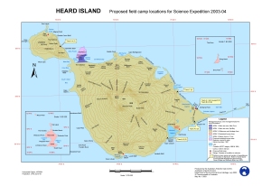
Map 13003: Heard Island, Proposed field camp locations for Science Expedition 2003-04.
Map details
| Map Number | 13003 |
| Title | Heard Island, Proposed field camp locations for Science Expedition 2003-04. |
| Edition | 1 |
| Scale | 1 : 120 000 |
| Publication date | July 2003 |
| Publisher |
Australian Antarctic Division (Australia)
|
| Spatial coverage |
( 73.0333° -52.6000°)
,
( 74.0333° -52.6000°)
,
( 74.0333° -53.6000°)
( 73.0333° -53.6000°) |
| Projection | Universal Transverse Mercator |
| Physical size | 29.7 x 42 cm A3 |
| Keywords | Mcdonald Island , Shag Island , Management Area |
Downloads
This is a digital map available for downloading.
Map Lists
This map belongs to the following lists. Use the link on the list to see all maps belonging to that list
Additional Information
| Accuracy | Used 1988 & 1991 Spot satellite image for coastline. We know this is now inaccurate. See metadata. |
| Horizontal datum | WGS84 |
| Vertical datum | Mean sea level |
| Nomenclature | Australian Antarctic Names Gazetteer |
Preview